- Bell Acres, Pennsylvania
Geobox|Settlement
name = Bell Acres
native_name =
other_name =
other_name1 =
category = Borough
etymology_type =
etymology =
official_name = Borough of Bell Acres
motto =
nickname =
image_size =
image_caption =
flag_size =
symbol =
symbol_type =
symbol_size =
country = United States
country_
state = Pennsylvania
state_
region = Allegheny
region_type = County
district =
district_type =
landmark =
river =
location =
lat_d = 40
lat_m = 35
lat_s = 32
lat_NS = N
long_d = 80
long_m = 10
long_s = 34
long_EW = W
elevation_imperial = 965
elevation_round = 0
area_imperial = 5.2
area_land_imperial = 5.2
area_water_imperial = 0.0
area_water_percentage = auto
area_percentage_round = 2
area_round = 1
area_land_round = 1
area_water_round = 1
population_as_of = 2000
population = 1382
population_density_imperial = 265.3
population_density_round = 1
established_type = Settled
established = c. 1808
established1_type = Incorporated
established1 =March 14 ,1960
mayor =
timezone = EST
utc_offset = -5
timezone_DST = EDT
utc_offset_DST = -4
postal_code = 15143
postal_code_type = ZIP code
area_code = 412
area_code_type =
code2_type =
code2 =
free_type = School District
free = Quaker Valley
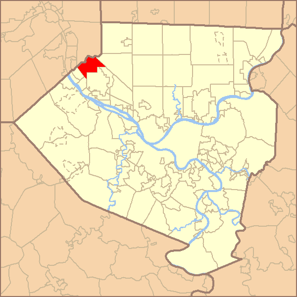
map_caption = Location of Bell Acres in Allegheny County
map1 = Pennsylvania Locator Map.png
map1_locator = Pennsylvania
map2 = Map of USA PA.svg
map2_caption = Location of Pennsylvania in the United States
website =Bell Acres is a borough in Allegheny County,
Pennsylvania ,United States and is part of thePittsburgh Metro Area . The population was 1,382 at the 2000 census.Geography
Bell Acres is located at coor dms|40|35|32|N|80|10|34|W|cityGR|1.
According to the
United States Census Bureau , the borough has a total area of convert|5.2|sqmi|km2, all of it land. Its average elevation is convert|965|ft|m above sea level GR|3.History
Bell Acres was settled around 1808. The area was originally established as Sewickley Township on
June 28 ,1854 . Bell Acres was incorporated as its own borough onMarch 14 ,1960 .cite web| url =http://www.phmc.state.pa.us/bah/dam/counties/pdfs/Allegheny.pdf | title = "Allegheny County - 2nd Class" | accessdate = 2007-08-19| language = English]Demographics
As of the
census GR|2 of 2000, there were 1,382 people, 520 households, and 412 families residing in the borough. Thepopulation density was 265.3 people per square mile (102.4/km²). There were 540 housing units at an average density of 103.6/sq mi (40.0/km²). The racial makeup of the borough was 95.66% White, 1.09% African American, 0.65% Native American, 1.52% Asian, 0.29% from other races, and 0.80% from two or more races. Hispanic or Latino of any race were 0.22% of the population.There were 520 households out of which 32.1% had children under the age of 18 living with them, 70.8% were married couples living together, 6.0% had a female householder with no husband present, and 20.6% were non-families. 18.8% of all households were made up of individuals and 10.2% had someone living alone who was 65 years of age or older. The average household size was 2.66 and the average family size was 3.04.
In the borough the population was spread out with 24.1% under the age of 18, 4.8% from 18 to 24, 24.9% from 25 to 44, 28.1% from 45 to 64, and 18.0% who were 65 years of age or older. The median age was 43 years. For every 100 females there were 97.7 males. For every 100 females age 18 and over, there were 101.3 males.
The median income for a household in the borough was $61,094, and the median income for a family was $70,288. Males had a median income of $55,625 versus $29,375 for females. The
per capita income for the borough was $41,202. About 1.9% of families and 3.1% of the population were below thepoverty line , including 4.3% of those under age 18 and 2.8% of those age 65 or over.References

Wikimedia Foundation. 2010.