- Meadow Township, Clay County, Iowa
-
Meadow Township — Township — Location in Clay County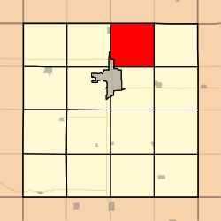
Coordinates: 43°12′53″N 095°05′23″W / 43.21472°N 95.08972°WCoordinates: 43°12′53″N 095°05′23″W / 43.21472°N 95.08972°W Country  United States
State  Iowa
IowaCounty Clay Area - Total 34.84 sq mi (90.23 km2) - Land 34.8 sq mi (90.13 km2) - Water 0.04 sq mi (0.1 km2) 0.11% Elevation 1,362 ft (415 m) Population (2000) - Total 339 - Density 9.7/sq mi (3.8/km2) GNIS feature ID 0468370 Meadow Township is a township in Clay County, Iowa, USA. As of the 2000 census, its population was 339.
Geography
Meadow Township covers an area of 34.84 square miles (90.2 km2) and contains no incorporated settlements, although the unincorporated community of Langdon is located here. According to the USGS, it contains one cemetery, Fairview.
The stream of Little Meadow Creek runs through this township.
References
External links
Municipalities and communities of Clay County, Iowa County seat: Spencer Cities Dickens | Everly | Fostoria | Gillett Grove | Greenville | Peterson | Rossie | Royal | Spencer | Webb

Townships Categories:- Townships in Clay County, Iowa
- Iowa geography stubs

Wikimedia Foundation. 2010.