- Mazières
-
Mazières


 MazièresLocation within Poitou-Charentes region
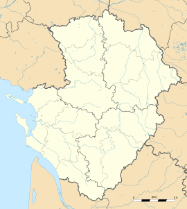 Mazières
Administration Country France Region Poitou-Charentes Department Charente Arrondissement Confolens Canton Saint-Claud Intercommunality Haute-Charente Mayor Robert Denis
(2008–2014)Statistics Elevation 145–236 m (476–774 ft)
(avg. 200 m/660 ft)Land area1 5.87 km2 (2.27 sq mi) Population2 101 (2008) - Density 17 /km2 (44 /sq mi) INSEE/Postal code 16214/ 16270 1 French Land Register data, which excludes lakes, ponds, glaciers > 1 km² (0.386 sq mi or 247 acres) and river estuaries. 2 Population without double counting: residents of multiple communes (e.g., students and military personnel) only counted once. Coordinates: 45°50′13″N 0°34′17″E / 45.8369444444°N 0.571388888889°E
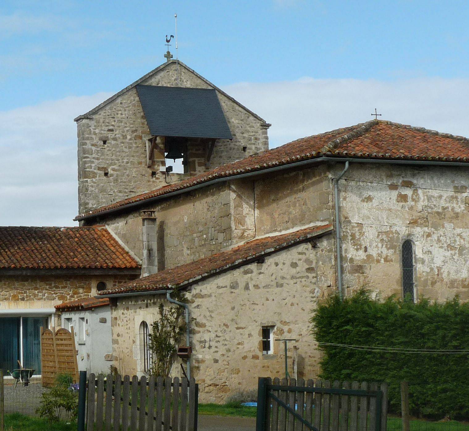
Mazières is a commune in the Charente department in southwestern France.
Population
Historical population of Mazières 1793 1800 1806 1821 1831 1841 1846 1851 1856 1861 314 314 378 301 358 345 335 322 293 316 1866 1872 1876 1881 1886 1891 1896 1901 1906 1911 302 300 300 301 302 319 297 282 279 295 1921 1926 1931 1936 1946 1954 1962 1968 1975 1982 255 232 221 214 180 183 190 179 140 126 1990 1999 2008 88 93 101 See also
References
Categories:- Communes of Charente
- Charente geography stubs


Wikimedia Foundation. 2010.