- Champigneul-sur-Vence
-
Champigneul-sur-Vence

 Champigneul-sur-VenceLocation within Champagne-Ardenne region
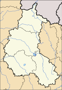 Champigneul-sur-Vence
Administration Country France Region Champagne-Ardenne Department Ardennes Arrondissement Charleville-Mézières Canton Flize Intercommunality Crêtes Préardennaises Mayor Guy Sellier
(2008–2014)Statistics Elevation 163–293 m (535–961 ft)
(avg. 240 m/790 ft)Land area1 4.61 km2 (1.78 sq mi) Population2 130 (2008) - Density 28 /km2 (73 /sq mi) INSEE/Postal code 08099/ 08430 1 French Land Register data, which excludes lakes, ponds, glaciers > 1 km² (0.386 sq mi or 247 acres) and river estuaries. 2 Population without double counting: residents of multiple communes (e.g., students and military personnel) only counted once. Coordinates: 49°42′06″N 4°39′24″E / 49.7016666667°N 4.65666666667°E
Champigneul-sur-Vence is a commune in the Ardennes department in northern France.
The area is 4.6 square kilometers.It is geographically located at an altitude of 250 meters.[1]
Population
Historical population of Champigneul-sur-Vence 1962 1968 1975 1982 1990 1999 2008 81 81 69 61 87 105 130 See also
References
Categories:- Communes of Ardennes
- Ardennes geography stubs


Wikimedia Foundation. 2010.