- Chapeau, Allier
-
Chapeau

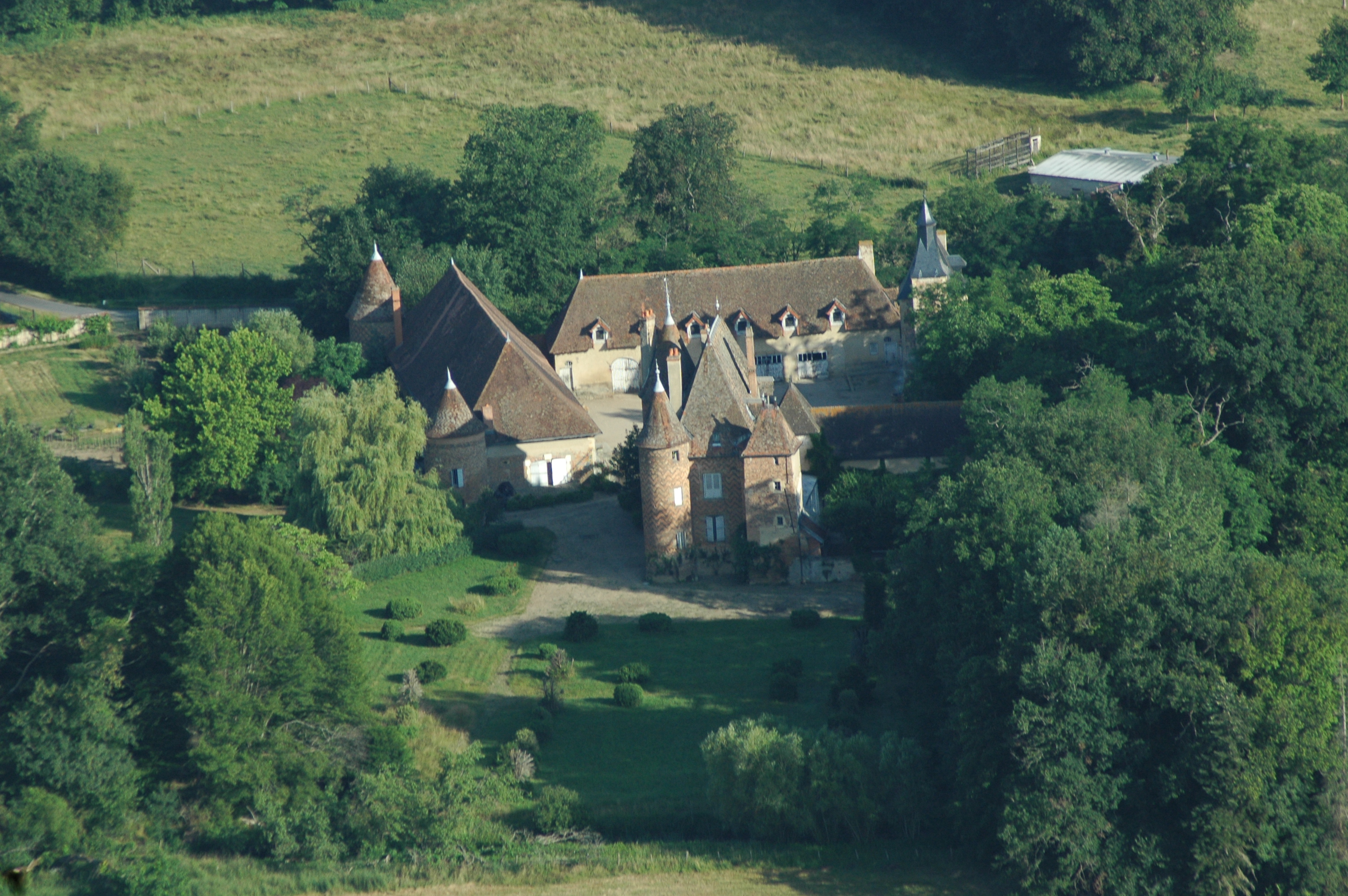
Domaine de la Cour 
 Chapeau
Administration Country France Region Auvergne Department Allier Arrondissement Moulins Canton Neuilly-le-Réal Intercommunality Moulins Mayor Pierre Brenon
(2008–2014)Statistics Elevation 239–285 m (784–935 ft)
(avg. 256 m/840 ft)Land area1 33.42 km2 (12.90 sq mi) Population2 223 (2008) - Density 7 /km2 (18 /sq mi) INSEE/Postal code 03054/ 03340 1 French Land Register data, which excludes lakes, ponds, glaciers > 1 km² (0.386 sq mi or 247 acres) and river estuaries. 2 Population without double counting: residents of multiple communes (e.g., students and military personnel) only counted once. Coordinates: 46°29′19″N 3°31′26″E / 46.4886111111°N 3.52388888889°E
Chapeau is a commune in the Allier department in central France.
Population
Historical population of Chapeau, Allier 1962 1968 1975 1982 1990 1999 2008 294 329 295 300 264 216 223 See also
References
Categories:- Communes of Allier
- Allier geography stubs

Wikimedia Foundation. 2010.