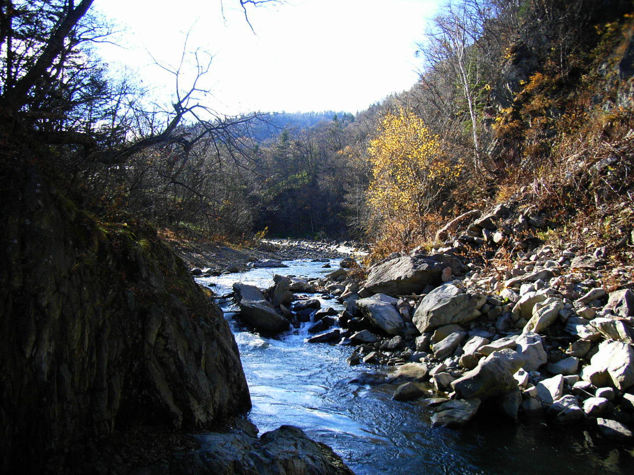
- Toyohira River
Geobox|River
name = Toyohira River
native_name = Toyohira-gawa
other_name = 豊平川
category = River
etymology =
nickname =

image_caption = The Toyohira River at Jōzankei
country =Japan
state =Hokkaidō
region =
district =
municipality =
parent =
tributary_left =
tributary_right =
city =
landmark =
source =
source_location = | source_region = | source_country =
source_elevation =
source_lat_d = | source_lat_m = | source_lat_s = | source_lat_NS =
source_long_d = | source_long_m = | source_long_s = | source_long_EW =
source1 =
source1_location = | source1_region = | source1_country =
source1_elevation =
source1_lat_d = | source1_lat_m = | source1_lat_s = | source1_lat_NS =
source1_long_d = | source1_long_m = | source1_long_s = | source1_long_EW =
source_confluence =
source_confluence_location = | source_confluence_region = | source_confluence_country =
source_confluence_elevation =
source_confluence_lat_d = | source_confluence_lat_m = | source_confluence_lat_s = | source_confluence_lat_NS =
source_confluence_long_d = | source_confluence_long_m = | source_confluence_long_s = | source_confluence_long_EW =
mouth =Ishikari River
mouth_location = | mouth_region = | mouth_country =
mouth_elevation =
mouth_lat_d = | mouth_lat_m = | mouth_lat_s = | mouth_lat_NS =
mouth_long_d = | mouth_long_m = | mouth_long_s = | mouth_long_EW =
length = 72.5
width =
depth =
volume =
watershed = 859
discharge =
discharge_max =
discharge_min =
free = | free_type =
map_caption =
map_background =
map_locator =
map_locator_x =
map_locator_y =
website =
footnotes =The Toyohira River (豊平川 "Toyohira-gawa") is ariver in Hokkaidō prefecture,Japan . It is 72.5km in length and has drainage area of 859km². It is a tributary of theIshikari River .It supplies water to
Sapporo city, the capital of Hokkaidō built on thealluvial fan formed by the river.Jōzankei is a popular attraction with
onsen (hot springs) along the upper Toyohira.
Wikimedia Foundation. 2010.
