- Hettinger, North Dakota
Infobox Settlement
official_name = Hettinger, North Dakota
settlement_type =City
nickname =
motto =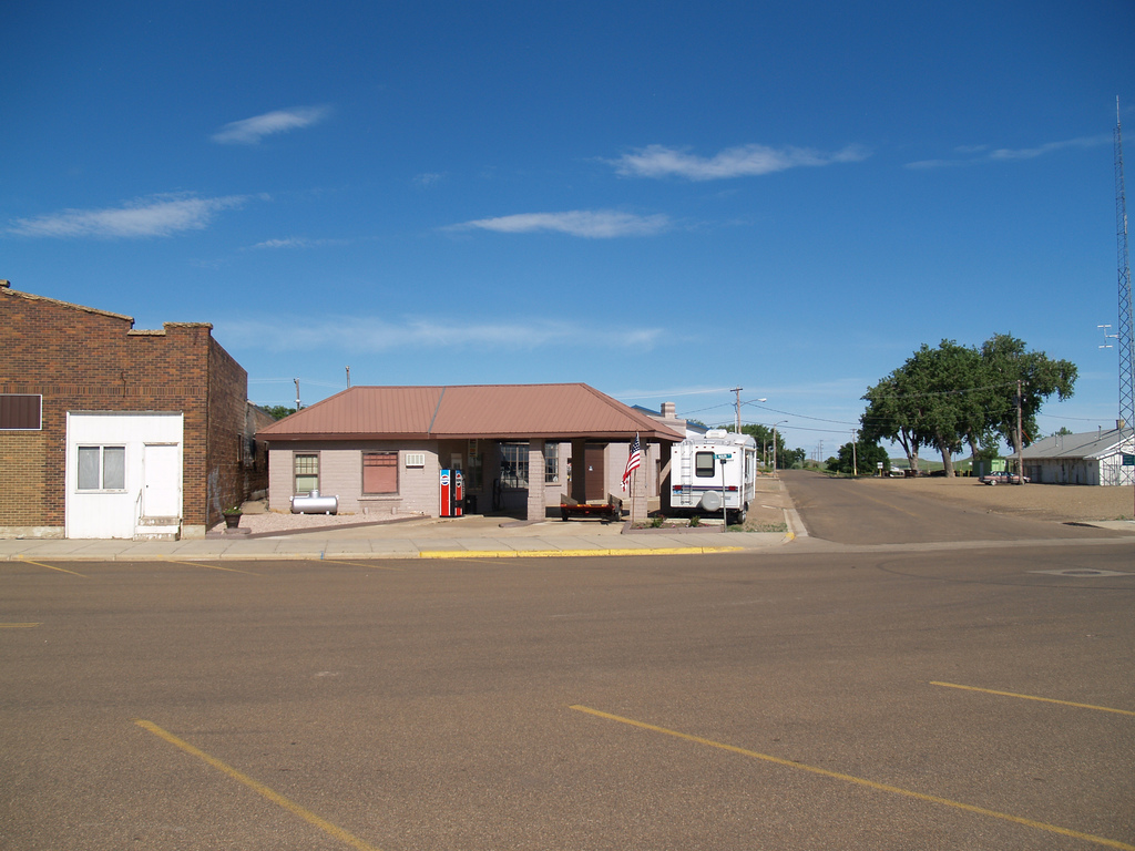
imagesize = 250px
image_caption = Hettinger, North Dakota
image_
mapsize = 250px
map_caption = Location of Hettinger, North Dakota
mapsize1 =
map_caption1 =subdivision_type = Country
subdivision_name =United States
subdivision_type1 = State
subdivision_name1 =North Dakota
subdivision_type2 = County
subdivision_name2 = Adamsgovernment_footnotes =
government_type =
leader_title =
leader_name =
leader_title1 =
leader_name1 =
established_title = Founded
established_date = 1907unit_pref = Imperial
area_footnotes =area_magnitude =
area_total_km2 = 2.2
area_land_km2 = 2.2
area_water_km2 = 0.0
area_total_sq_mi = 0.9
area_land_sq_mi = 0.8
area_water_sq_mi = 0.0population_as_of = 2000
population_footnotes =
population_total = 1307
population_density_km2 = 601.0
population_density_sq_mi = 1556.6timezone = Mountain (MST)
utc_offset = -7
timezone_DST = MDT
utc_offset_DST = -6
elevation_footnotes =
elevation_m = 822
elevation_ft = 2697
latd = 46 |latm = 0 |lats = 3 |latNS = N
longd = 102 |longm = 38 |longs = 0 |longEW = Wpostal_code_type =
ZIP code
postal_code = 58639
area_code = 701
blank_name = FIPS code
blank_info = 38-37700GR|2
blank1_name = GNIS feature ID
blank1_info = 1029423GR|3
website =
footnotes =Hettinger is a city in Adams County,
North Dakota in theUnited States . It is thecounty seat of Adams County.GR|6 The population was 1,307 at the 2000 census. Hettinger was founded in 1907. The city and its surrounding township, were named in recognition of Hettinger County, from which Adams County was created in 1907. [Cite book | author=Wick, Douglas A. | authorlink= | coauthors= | title=North Dakota Place Names | date= | publisher=Hedemarken Collectibles | location= | isbn=0-9620968-0-6 | pages= 90]Geography
Hettinger is located at coor dms|46|0|3|N|102|38|0|W|city (46.000842, -102.633384).GR|1
According to the
United States Census Bureau , the city has a total area of 0.9 square miles (2.2 km²).0.8 square miles (2.2 km²) of it is land and 1.18% is water.Demographics
As of the
census GR|2 of 2000, there were 1,307 people, 584 households, and 345 families residing in the city. Thepopulation density was 1,556.6 people per square mile (600.8/km²). There were 720 housing units at an average density of 857.5/sq mi (330.9/km²). The racial makeup of the city was 98.78% White, 0.15% African American, 0.38% Native American, 0.15% Asian, 0.08% Pacific Islander, 0.23% from other races, and 0.23% from two or more races. Hispanic or Latino of any race were 0.38% of the population.There were 584 households out of which 25.7% had children under the age of 18 living with them, 47.8% were married couples living together, 8.6% had a female householder with no husband present, and 40.8% were non-families. 38.0% of all households were made up of individuals and 22.6% had someone living alone who was 65 years of age or older. The average household size was 2.10 and the average family size was 2.76.
In the city the population was spread out with 21.7% under the age of 18, 4.8% from 18 to 24, 21.9% from 25 to 44, 23.2% from 45 to 64, and 28.5% who were 65 years of age or older. The median age was 46 years. For every 100 females there were 80.0 males. For every 100 females age 18 and over, there were 78.1 males.
The median income for a household in the city was $27,689, and the median income for a family was $32,917. Males had a median income of $26,172 versus $19,674 for females. The
per capita income for the city was $21,148. About 5.4% of families and 8.1% of the population were below thepoverty line , including 8.6% of those under age 18 and 13.7% of those age 65 or over.USCensusPop
1920= 817
1930= 1292
1940= 1138
1950= 1762
1960= 1769
1970= 1655
1980= 1739
1990= 1574
2000= 1307
estimate= 1185
estyear= 2006
estref=Fact|date=June 2008Education
*
Hettinger High School ites of interest
*Hettinger Country Club - a nine-hole
golf course located four and a half miles southwest of Hettinger. It measures convert|3051|yd from the backtee s.References
External links
* [http://www.hettingernd.com/default.htm City of Hettinger official website]
Wikimedia Foundation. 2010.