- Karoonda, South Australia
Infobox Australian Place | type = town
name = Karoonda
state = sa
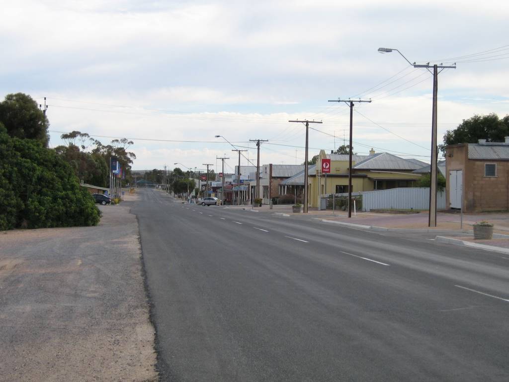
caption = Main Street of Karoonda
lga =District Council of Karoonda East Murray
postcode = 5307
est =
pop = 514 [Census 2006 AUS|id=SSC43871|name=Karoonda (State Suburb)|quick=on|accessdate=2008-02-28] (2006)
elevation=
maxtemp =
mintemp =
rainfall =
stategov = Hammond
fedgov = Barker
dist1 =
dir1 =
location1=Karoonda is in the middle of the
Murray Mallee region ofSouth Australia atgeographic coordinates coord|35|05|S|139|53|E|region:AU-SA_type:city (60 km northeast of Murray Bridge). Karoonda takes its name from the Aboriginal word for "winter camp".It was founded on
wheat growing early in the 20th century (proclaimed on11 December 1913 ), but the cleared land is also suitable for raisingmerino sheep . The Karoonda Development Group instigated and built this larger-than-life sculpture of a Merino ram in the park in the main street to emphasise this. There are even seats with rams heads dotted around the town. A number of otheragricultural andhorticultural industries are now also represented in the district. Each year the Karoonda Farm Fair is held, a two day event attracting over 10,000 visitors to the town.Railways were built in 1911-1914 to open up the mallee, and Karoonda was a junction with branch lines to Waikerie and Peebinga ["Rail Line to Nowhere" Southwell, J.G. Australian Railway Historical Society Bulletin, July, 1971 pp146-151] , both were closed in 1990, but the line from Tailem Bend to Loxton remains open and was converted from
broad gauge tostandard gauge .Karoonda briefly shot to international fame in 1930 when a meteorite fell to earth just to the east of the town on the night of
25 November .Karoonda Area School was the first
area school in South Australia.Karoonda is in the
District Council of Karoonda East Murray , the state electorate of Hammond and the federalDivision of Barker .Pioneer Park on East Terrace is being developed as a Malleelands Pioneer Railways and farm museum, with displays of harvest machinery , plows, railway rolling stock and facilities already in place. The Nature Trail & Bush Walk is adjacent.
urrounding communities
Photo Gallery
References
Wikimedia Foundation. 2010.