- St Bartholomew's Church, Lostwithiel
-
St. Bartholomew's Church, Lostwithiel 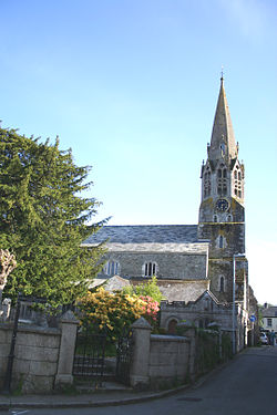
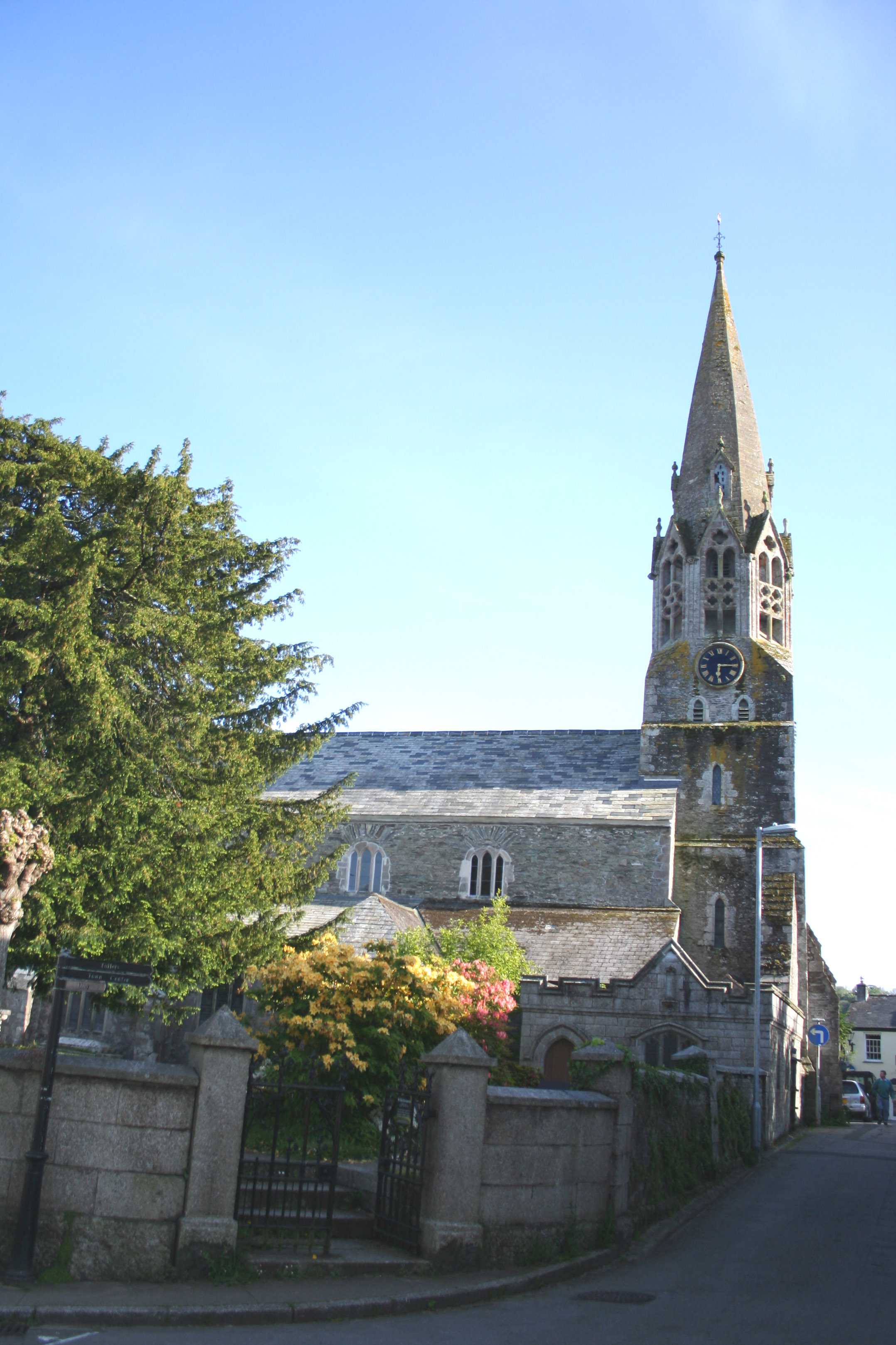
St. Bartholomew's Church, LostwithielCoordinates: 50°24′27″N 04°40′09″W / 50.4075°N 4.66917°W OS grid reference SX 104 598 Denomination Church of England Churchmanship Broad Church Website www.fosb.org.uk History Dedication St. Bartholomew Administration Parish Lostwithiel Archdeaconry Bodmin Diocese Truro Province Canterbury St Bartholomew's Church is a parish church of the Church of England in Lostwithiel, Cornwall, UK.
Background
It is a Grade I listed building.[1] It includes a tower from the thirteenth century, a spire added in the early fourteenth century, and an octagonal screen around its foot, with former windows on four of its eight sides. Its magnificent spire is the outstanding feature of this sizable town church. The north side has a St Catherine's Wheel. Unusually for a Cornish church there is a clerestory above the nave. There are some fine monuments of Georgian period and a brass of 1423.[2]
The church itself is mainly fourteenth century. The east window of five lights is one of the most notable in Cornwall, of the same date as the spire. The early fourteenth century font is outstanding, with carved figures of a huntsman and hawk, a head with leaves sprouting from its mouth, an evil face, a wolf and hounds, and lions.
Organ
The organ was built by Brewer of Truro c.1888, using pipes from an earlier manual organ by Alex Buckingham in 1828. It has subsequently been restored by Osmonds of Taunton and, in 1992, by Lance Foy of Truro. A specification of the organ can be found on the National Pipe Organ Register.
Notes
- ^ "Images of England: Church of St Bartholomew, Lostwithiel". English Heritage. http://www.imagesofengland.org.uk/details/default.aspx?pid=1&id=70811. Retrieved 2008-04-28.
- ^ Pevsner, N. (1970) Cornwall, 2nd ed. Penguin Books; pp. 106-08
Categories:- Grade I listed churches
- Church of England churches in Cornwall
- Grade I listed buildings in Cornwall
- United Kingdom church stubs
- Cornwall building and structure stubs
Wikimedia Foundation. 2010.