- Nea Penteli
-
Nea Penteli
Νέα ΠεντέληLocation 
 Nea Penteli
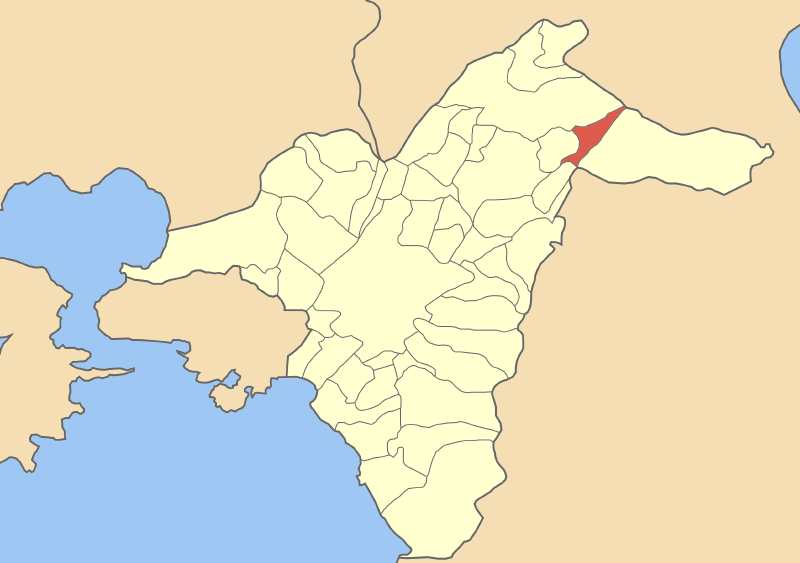
Coordinates 38°3′N 23°51′E / 38.05°N 23.85°ECoordinates: 38°3′N 23°51′E / 38.05°N 23.85°E Location within Athens
Government Country: Greece Region: Attica Regional unit: North Athens Municipality: Penteli Population statistics (as of 2001) Municipal unit - Population: 6,156 - Area: 3.230 km2 (1 sq mi) - Density: 1,906 /km2 (4,936 /sq mi) Other Time zone: EET/EEST (UTC+2/3) Elevation (center): 430 m (1,411 ft) Postal: 152 xx Telephone: 210 Auto: Z Nea Penteli (Greek: Νέα Πεντέλη) is a suburb in the northeastern part of Athens, Greece. Since the 2011 local government reform it is part of the municipality Penteli, of which it is a municipal unit.[1]
Nea Penteli is accessed via GR-1/E75 5 km west near the western part of Kifissia at the Varibobi Interchange and the Attiki Odos (number 6). The suburban community sits on the western slopes of the Penteli mountains. The Athenian plain lies to the southwest. It is located about 6 and 9 km N of the Attiki Odos (number 6), SE of Thiva and Chalkida, SW of Marathon, W of Rafina and N of Athens. Its main streets are divided into two one-way streets linking to Kifissia and the other linking south of Vrilissia.
Contents
Historical population
Year Population 1981 2,723 1991 4,332 2001 6,156 About Nea Penteli
Nea Penteli is an affluent residential area and is known for its fantastic view of Athens. The area used to consist of farmlands that were mainly pastures or groves. Suburban housing arrived in the 1970s and development continued slowly into the 2000s. Nea Penteli has one primary school, a high school, several banks, and a few squares. At the center of the municipality is a small hill named Profitis Ilias, named after the small church constructed on top of it. On the southeastern side of the church is the Neopendelikos soccer field, constructed on top of a small lake. The lake was land-filled between 1970 and 1980. Many of the older citizens of Nea Penteli are quarry workers that came to the area from the islands of Paros and Naxos during the 1950s and 1960s to work in the marble quarries of Penteli.
Nea Penteli was partially affected by a forest fire (see 2007 wildfires in Greece) on August 16, 2007. Several firefighters and helicopters battled the blaze that lasted for hours. Very few properties were damaged. The fire, caused by arson, started during the late afternoon hours in Penteli.
See also
- List of municipalities of Attica
References
- ^ Kallikratis law Greece Ministry of Interior (Greek)
External links
- Cultural Activities department, Πνευματικό Κέντρο
- Public Library of Cultural Activities department, Βιβλιοθήκη Πνευματικού Κέντρου
Northwest: Kifissia North: Mount Penteli West: Melissia Nea Penteli East: Penteli Southwest: Vrilissia South: Vrilissia Municipal units Categories:- Populated places in North Athens

Wikimedia Foundation. 2010.