- Maoile Lunndaidh
-
Maoile Lunndaidh 
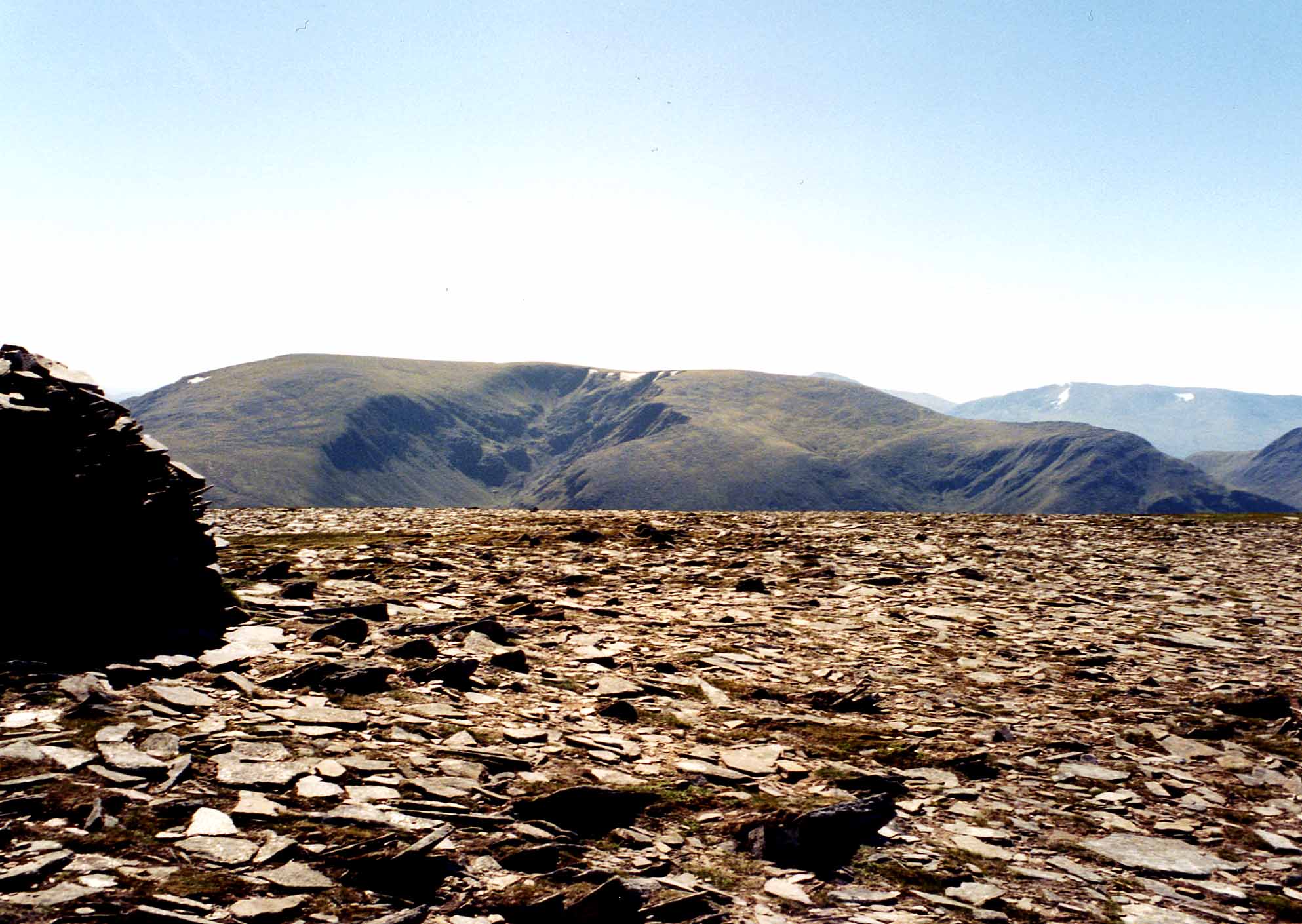
Maoile Lunndaidh seen from Mòruisg, five km to the NW. The massive corrie of Fuar Tholl Mòr can also be seen.Elevation 1,007 m (3,304 ft) Prominence 402 m (1,319 ft) Listing Munro, Marilyn Translation Bare hill of the wet place (Gaelic) Pronunciation Scottish Gaelic: [ˈmɯlə ˈlˠ̪ũːn̪ˠt̪ɪ]
English approx:
mool-uh LOON-tyLocation Location Ross and Cromarty, Highland  Scotland
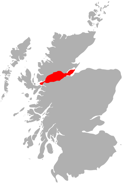
Range Northwest Highlands Topo map OS Landranger 25, OS Explorer 430 OS grid NH135458 Listed summits of Maoile Lunndaidh Name Grid ref Height Status Carn nan Fiaclan NH123455 996 m (3268 ft) Munro Top Maoile Lunndaidh is a Scottish mountain situated 13 km south of Achnasheen in the Ross and Cromarty district of the Highland council area. It is part of the high ground between Loch Monar and Gleann Fhiodhaig.
Contents
Overview
Maoile Lunndaidh is a large and very remote mountain, covering an area in excess of 10 square miles (2,590 hectares), it is located almost equidistant from the valleys of Strathconan, Strathfarrar and Glen Carron with the nearest public road being over 10 km away. The mountain has a recognised height of 1007 metres (3304 feet). However on the newest large scale OS maps the highest spot height is 1005 metres.
Maoile Lunndaidh has been described as “the flattest of bulks”[1], being almost Cairngorm like in character with its extensive level summit plateau which seems out of place amongst the west coast peaks. The mountain has two impressive corries which cut deeply into the mountain on its NW and SE sides and are its most impressive geographical features. Maoile Lunndaidh translates from the Gaelic as “Bare hill of the wet place”, with the mountain being especially boggy on its lower slopes, lying near the headwaters of both the Strathfarrar and Strathconan glens and having several high lochans within its corries.[2]
Geography
Maoile Lunndaidh’s curving summit plateau is almost two km in length, never dropping below the 980 metre contour. Its flatness has led to some confusion over the years as to the actual highest point of the mountain with the location of the summit changing three times in the Munros Tables. The present highest point was originally named by Hugh Munro as the summit in 1891, however between 1921 and 1981, a point 650 metres to the SW called Creag Toll a’ Choin was declared the highest part of the hill. In 1981 the summit was reverted once more to its original place after the metric re-mapping of the Scottish Highlands, a decision not without some controversy as Creag Toll a’ Choin is the better viewpoint for Loch Monar. Ironically the latest 1:25 000 scale map now give both points a spot height of 1005 metres.[3]
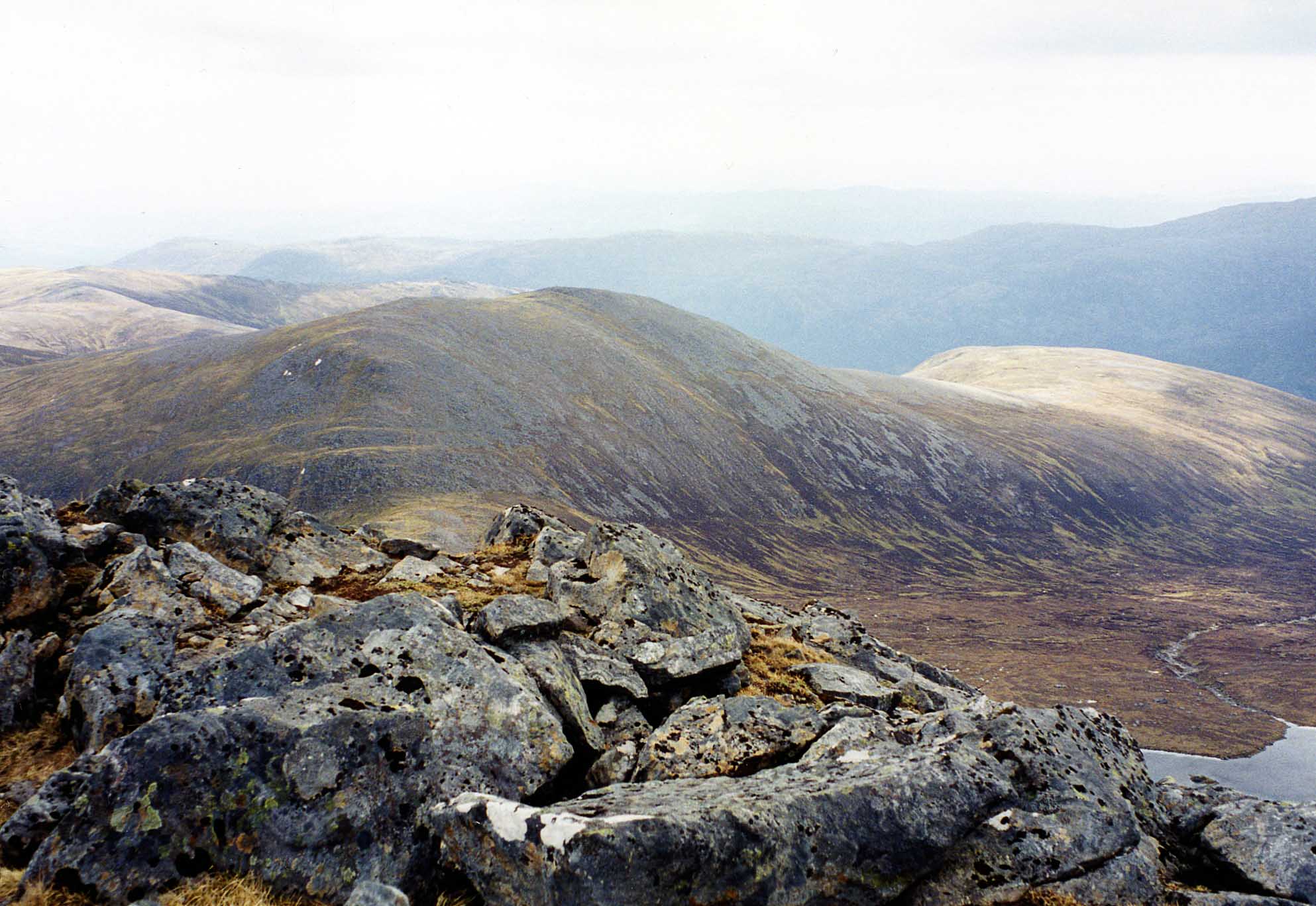
At the western end of the summit ridge stands Càrn nan Fiaclan (Cairn of the teeth) with a height of 996 metres it is listed as a “top” in the Munros Tables even though it only has approximately 10 metres of prominence from the main summit. The curving nature of the summit ridge is formed by the deep incutting of two massive corries, the Fuar Tholl Mòr (Big cold hollow) and the Toll a’ Choin (Boggy hollow) almost meet as they cut into the mountain from the NW and SE respectively forming a narrow neck of land about 50 metres wide at the point where the ridge curves. To the west the mountain is connected to the adjoining Munro of Sgurr a’ Chaorachain by a col with a height of 605 metres while to the east a col with a height of 490 metres links to the Corbett of An Sidhean.
Fuar Tholl Mòr has several small lochans nestling within it while on the eastern flanks of the mountain are the larger bodies of water of Loch a’ Chlaidheimh and Loch nam Breac Dearga. The southern slopes of the mountain descend to Loch Monar, to the former site of Strathmore Lodge, made famous by Iain Thomson in his book “Isolation Shepherd”, the lodge and over 60 other dwellings were flooded when the level of the loch was raised as part of the Hydroelectricity scheme in the late 1950s[4]. All drainage from Maoile Lunndaidh goes to the east coast of Scotland via the long glens of Strathfarrar and Strathconan to reach the Beauly Firth and the Cromarty Firth.
Ascents and summit
The ascent of Maoile Lunndaidh is a long, hard day in the hills, most guide books recommend the route from Craig in Glen Carron, because it is the slightly shorter choice and it is possible to use a bicycle for some of the route. Other mountain writers (Ralph Storer and Robin Howie) recommend the approach from Glen Strathfarrar because of the beautiful scenery, however this has some access restrictions. The approach from Craig starts on the A890 road at grid reference NH039493, a mountain bike can be used on the fine forestry track that goes for 10 km to the remote Glenuaig Lodge at the foot of Maoile Lunndaidh. From there the mountain can be climbed by following the west edge of the Fuar Tholl Mòr corrie.[5]
The approach from Strathglass is a 22 km round trip which starts at the Loch Monar dam (grid reference NH203394), this long approach is further complicated by the restricted access allowed to motor vehicles by the locked gate at the entrance to Glen Strathfarrar at Struy. The opening times are here [1]. This walk follows the north shore of the loch for six km before climbing the mountain by the SE ridge. The summit of the mountain is marked by a large cairn of grey boulders, the mossy and stony summit plateau can be a confusing place in mist and needs navigational skill under such conditions.[6]
References
- The Munros, Scottish Mountaineering Trust, Donald Bennett (Editor) et al., ISBN 0 0907521 13 4
- The High Mountains of Britain and Ireland, Irvine Butterfield, ISBN 0 906371 30 9
- 100 Best Routes on Scottish Mountains, Ralph Storer, ISBN 0 7515 0300 2
- Hamish’s Mountain Walk, Hamish Brown, ISBN 1 898573 08 5
- The Magic of the Munros, Irvine Butterfield, ISBN 0 7153 2168 4
- The Hydro Boys, Emma Wood, ISBN 1 8428 2047 8
- The Munros, Scotland’s Highest Mountains, 2006, Cameron McNeish, ISBN 1 84204 082 0
Footnotes
- ^ "Hamish‘s Mountain Walk" Page 274 Gives quote: “Flattest of bulks”.
- ^ "The Magic of the Munros" Page 153 Gives details of translation and meaning.
- ^ Online version of Munros Tables. Gives details of summit changes and Tops.
- ^ "The Hydro Boys" Gives details of raising of Loch Monar level.
- ^ "The Munros" Page 187 Gives details of ascent from Craig in Glen Carron.
- ^ "100 Best Routes on Scottish Mountains" Page 124 Gives details of ascent from Strathfarrar.
 An Riabhachan · An Socach · Bidein a' Choire Sheasgaich · Càrn nan Gobhar (Mullardoch) · Càrn nan Gobhar (Strathfarrar) · Lurg Mhòr · Maoile Lunndaidh · Mòruisg · Sgurr a' Chaorachain · Sgurr a' Choire Ghlais · Sgurr Choinnich · Sgurr Fhuar-thuill · Sgurr na Lapaich · Sgurr na Ruaidhe
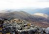
List of Munros Categories:- Munros
- Marilyns of Scotland
- Mountains and hills of the Northwest Highlands
- Mountains and hills of Highland (council area)
Wikimedia Foundation. 2010.