- MAX Blue Line
Infobox rail line
name = MAX Blue Line
image_width =
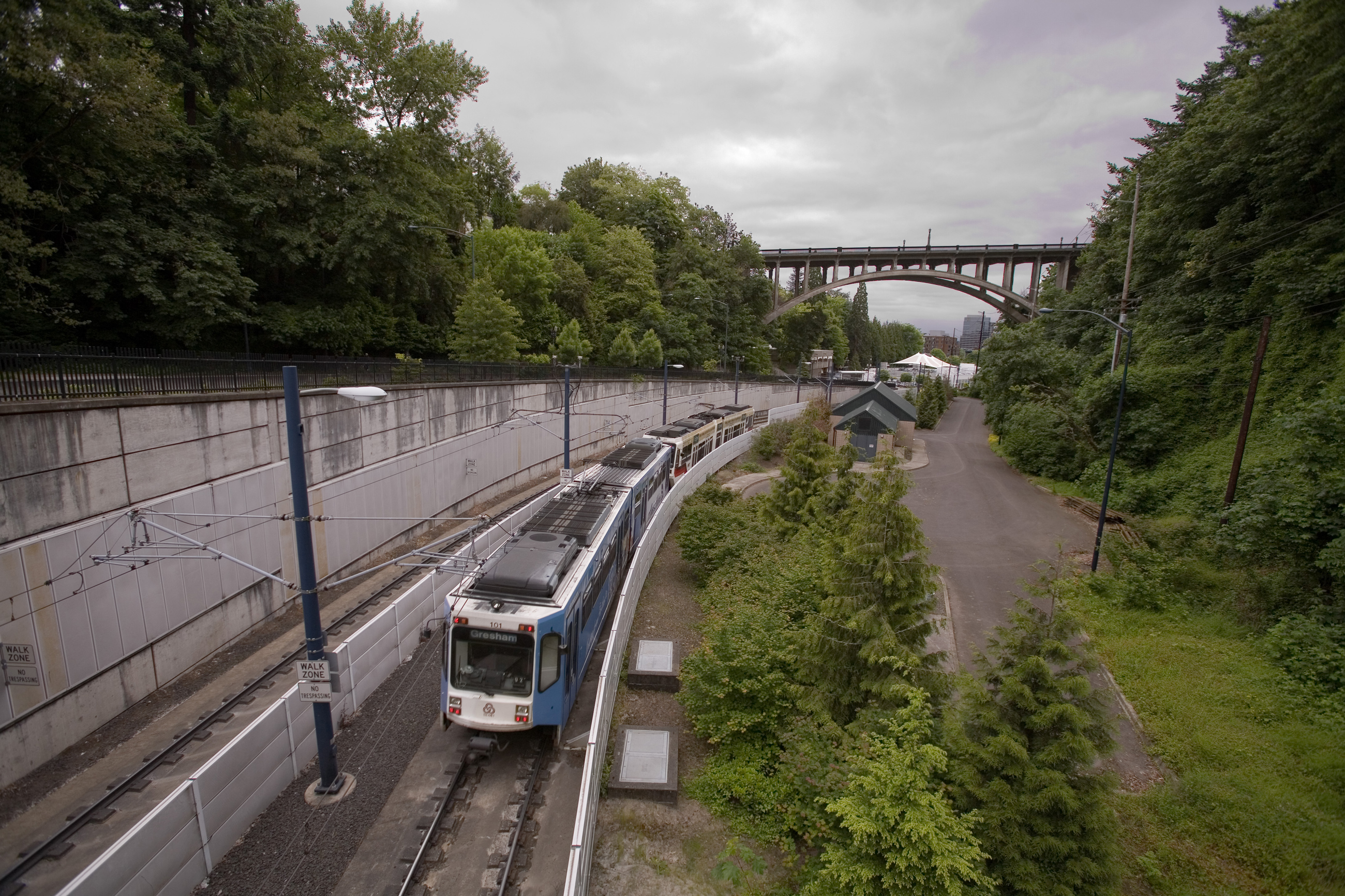
caption = A blue line train approaching theVista Bridge .
type =Light rail
system =MAX Light Rail
status = Currently operating
locale =Portland, Oregon
start = Hillsboro
end = Gresham
stations = 46
routes =
ridership =
open = September 5, 1986
close =
owner =
operator =TriMet
character =
stock =
linelength = 33 miles (53 km)
tracklength =
notrack =
gauge = RailGauge|sg
(standard gauge)
el =overhead catenary
speed =
elevation =
MAX Blue Line|The MAX Blue Line is a 33 mile (53 km)
light rail route in theMAX Light Rail system in thePortland metropolitan area in theU.S. state ofOregon . The route runs between Hillsboro and Gresham, via downtown Portland.Eastside MAX
In the mid 1970s,
TriMet began a study for light rail using funds intended for the cancelledMount Hood Freeway . The light rail project was known as the Banfield Light Rail Project, named for the freeway (I-84) that part of the alignment followed. Voters approved funding for the project, but Gresham officials and businesses rejected the project until a slight routing change was agreed to. The 15 mile (24 km) route started construction in 1981 and opened in September 1986. This part of the route is called the Eastside MAX today.when|date=September 2008 The Eastside MAX has spawned over $2 billion in development and redevelopment along its route.Fact|date=May 2007In November 2007, a 71 year old man was beaten with a baseball bat by a 15 year old suspected gang member at a Gresham MAX station. This incident, and several others, prompted local officials to express concern about crime along the MAX, and to step up police patrols along the line. [cite news
title= Fear rides the MAX
first=Jim
last=Redden
work=Portland Tribune
url=http://www.portlandtribune.com/news/story.php?story_id=119455778532391500
date=November 9, 2007]Westside MAX
In 1992, Portland area voters approved funding for the Westside MAX line after the success of the Eastside MAX. It was originally conceived as a line between downtown Portland and 185th Avenue in Beaverton, but was later in the planning process extended to Hillsboro. [C. Michael Hogan, Kay A. Ransom, Marc Papineau et al., "Portland to Beaverton Light Rail System Environmental Impact Statement", Earth Metrics Inc., prepared for Metro (1984)] Much of the right-of-way used in Beaverton and Hillsboro reused a route first constructed for the
Oregon Electric Railway .Construction started in 1994, and a half-mile extension between Southwest 10th Avenue and Kings Hill (Southwest 18th Avenue at Southwest Salmon Street) opened in August 1997. This extension was going to include the rest of the originally-planned segment, but was delayed by tunneling problems. Instead, it was opened along with the section from Beaverton to downtown Hillsboro in September 1998. The “
golden spike ” of the Westside line was driven with the final section of track of the project installed on the Main Street Bridge in October 1997.Oliver, Gordon and Don Hamilton. Go west young MAX. "The Oregonian ", September 9, 1998.] Passenger service on the $964 million project began on September 12, 1998.The line drew strong ridership, and beat 2005 ridership projections nineteen months after the line opened.Fact|date=February 2007 As of 2004, [http://www.trimet.org/pdfs/history/railfactsheet-westside.pdf (page 3)] the Westside MAX has served as a magnet for $825 million worth of residential and commercial development, including 8,500 housing units launched within walking distance of the line.
tations
References
External links
* [http://www.trimet.org/schedules/maxblueline.htm MAX Blue Line] , from the
TriMet website
* [http://memory.loc.gov/cgi-bin/query/S?ammem/hh:@field(SUBJ+@od1(OREGON--Washington+County--Beaverton)) Oregon Electric Railway Westside Corridor] , part of the right-of-way for Westside MAX, from theLibrary of Congress
Wikimedia Foundation. 2010.
