- Mandalay District
-
Mandalay District
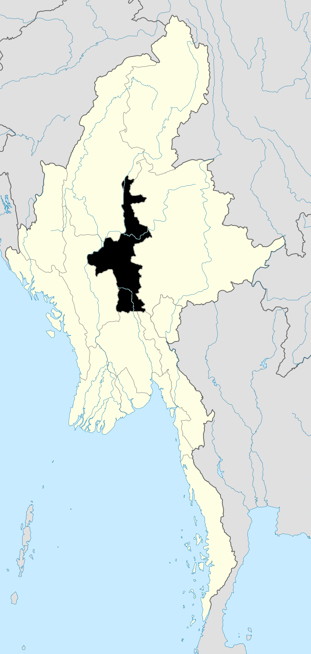
မန္တလေး ခရိုင်— District of Mandalay Division — Mandalay District Location in Burma
 Mandalay District
Coordinates: 21°58′0″N 96°05′0″E / 21.966667°N 96.083333°E Country Myanmar Division Mandalay Settled Time zone MST (UTC6:30) Postal codes Area code(s) 2 (mobile: 69, 90)[1] Mandalay District (Burmese: မန္တလေး ခရိုင်) is a district of the Mandalay Division in central Myanmar. Though the district used to consist of two cities, Mandalay and Amarapura, today, with the urban sprawl of Mandalay capturing Amarapura and Patheingyi, the district and the city of Mandalay are one and the same.
Townships
The Mandalay District consists of the following townships.
- Amarapura
- Aungmyethazan
- Chanayethazan
- Chanmyathazi
- Mahaaungmye
- Patheingyi
- Pyigyidagun
References
Coordinates: 21°58′N 96°05′E / 21.967°N 96.083°E
Mandalay Region Capital: Mandalay Kyaukse District 

Mandalay District Amarapura Township · Aungmyethazan Township · Chanayethazan Township · Chanmyathazi Township · Mahaaungmye Township · Patheingyi Township · Pyigyidagun TownshipMeiktila District Myingyan District Nyaung-U District Pyinoolwin District Yamethin District Main cities and towns Administrative divisions of Burma (Myanmar) States 
Regions Self-Administered Zones Self-Administered Divisions WaUnion Territories Categories:- Districts of Burma
- Mandalay Region
- Mandalay
- Burma geography stubs


Wikimedia Foundation. 2010.