- Mahaaungmye Township
-
Mahaaungmye Township
မဟာအောင်မြေ မြို့နယ်— Township of Mandalay — Mahaaungmye Township 
 Mahaaungmye Township
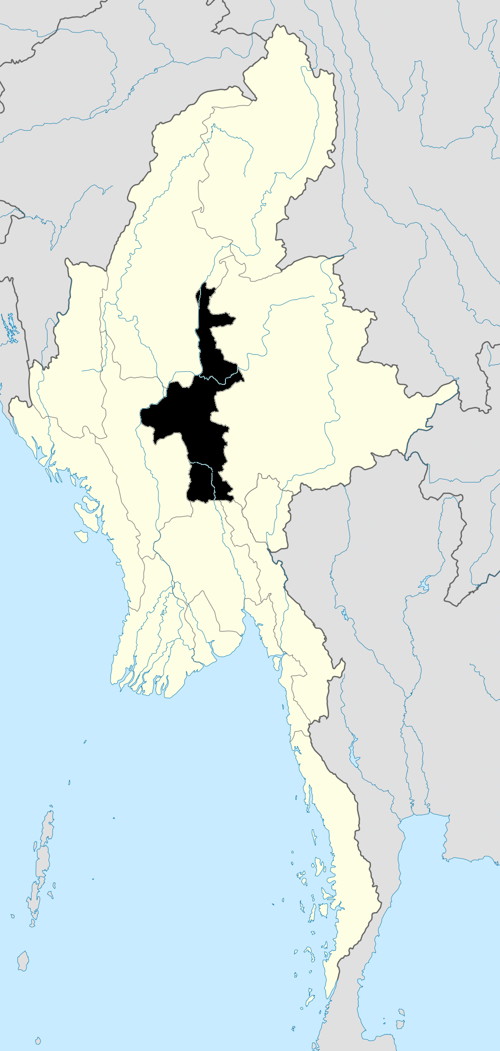
Coordinates: 21°57′0″N 96°5′0″E / 21.95°N 96.083333°ECoordinates: 21°57′0″N 96°5′0″E / 21.95°N 96.083333°E Country  Burma
BurmaDivision Mandalay City Mandalay Township Mahaaungmye Time zone MST (UTC6:30) Postal codes Area code(s) 2 (mobile: 69, 90)[1] Mahaaungmye Township (Burmese: မဟာအောင်မြေ မြို့နယ်, pronounced [məhà àuɴ mjè mjo̰nɛ̀]) is located immediately south of downtown Mandalay, Myanmar. The township is bounded by the Ayeyarwady river in the west, Chanayethazan township in the north, Chanmyathazi township in the south. The city's main university, Mandalay University is located here.[2]
Notable places
- Mandalay Psychiatric Hospital
- Mandalay University
References
- ^ "Myanmar Area Codes". http://en.18dao.net/Area_Code/Myanmar.
- ^ "Map of Mandalay". DPS. http://www.dpsmap.com/mandalay. Retrieved 2009-04-04.
Mandalay Mandalay District Amarapura Township · Aungmyethazan Township · Chanayethazan Township · Chanmyathazi Township · Mahaaungmye Township · Patheingyi Township · Pyigyidagun TownshipMandalay Region Capital: Mandalay Kyaukse District 

Mandalay District Amarapura Township · Aungmyethazan Township · Chanayethazan Township · Chanmyathazi Township · Mahaaungmye Township · Patheingyi Township · Pyigyidagun TownshipMeiktila District Myingyan District Nyaung-U District Pyinoolwin District Yamethin District Main cities and towns Administrative divisions of Burma (Myanmar) States 
Regions Self-Administered Zones Self-Administered Divisions WaUnion Territories Categories:- Townships of Mandalay
- Townships of Mandalay Region
- Mandalay


Wikimedia Foundation. 2010.