- Eunice, New Mexico
Infobox Settlement
official_name = Eunice, New Mexico
settlement_type =City
nickname =
motto =
imagesize =
image_caption =
image_
imagesize =
image_caption =
image_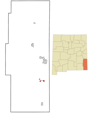
mapsize = 250px
map_caption = Location of Eunice, New Mexico
mapsize1 =
map_caption1 =subdivision_type = Country
subdivision_name =United States
subdivision_type1 = State
subdivision_name1 =New Mexico
subdivision_type2 = County
subdivision_name2 = Lea
government_footnotes =
government_type =
leader_title =
leader_name =
leader_title1 =
leader_name1 =
established_title =
established_date =unit_pref = Imperial
area_footnotes =area_magnitude =
area_total_km2 = 7.6
area_land_km2 = 7.6
area_water_km2 = 0.0
area_total_sq_mi = 2.9
area_land_sq_mi = 2.9
area_water_sq_mi = 0.0population_as_of = 2000
population_footnotes =
population_total = 2562
population_density_km2 = 338.8
population_density_sq_mi = 877.5timezone = Mountain (MST)
utc_offset = -7
timezone_DST = MDT
utc_offset_DST = -6
elevation_footnotes =
elevation_m = 1051
elevation_ft = 3448
latd = 32 |latm = 26 |lats = 24 |latNS = N
longd = 103 |longm = 9 |longs = 45 |longEW = Wpostal_code_type =
ZIP code
postal_code = 88231
area_code = 505
blank_name = FIPS code
blank_info = 35-25450
blank1_name = GNIS feature ID
blank1_info = 0899630
website =
footnotes =Eunice is a city in Lea County,
New Mexico ,United States . The population was 2,562 at the 2000 census. The mayor of Eunice, as of April2007 , is Matt White. Ground was broken for construction of aNational Enrichment Facility to enrich uranium in August, 2006. An announced purpose is to make fuel for commercial nuclear power plants.Geography
Eunice is located at coor dms|32|26|24|N|103|9|45|W|city (32.440005, -103.162514)GR|1.
According to the
United States Census Bureau , the city has a total area of 2.9square mile s (7.6km² ), of which, 2.9 square miles (7.6 km²) of it is land and 0.34% is water.Demographics
As of the
census GR|2 of2000 , there were 2,562 people, 942 households, and 709 families residing in the city. Thepopulation density was 877.5 people per square mile (338.8/km²). There were 1,110 housing units at an average density of 380.2/sq mi (146.8/km²). The racial makeup of the city was 71.00% White, 1.09% African American, 0.43% Native American, 0.12% Asian, 24.43% from other races, and 2.93% from two or more races. Hispanic or Latino of any race were 39.62% of the population.There were 942 households out of which 38.3% had children under the age of 18 living with them, 60.0% were married couples living together, 9.0% had a female householder with no husband present, and 24.7% were non-families. 22.9% of all households were made up of individuals and 11.4% had someone living alone who was 65 years of age or older. The average household size was 2.72 and the average family size was 3.20.
In the city the population was spread out with 29.5% under the age of 18, 11.1% from 18 to 24, 27.2% from 25 to 44, 19.4% from 45 to 64, and 12.8% who were 65 years of age or older. The median age was 34 years. For every 100 females there were 100.2 males. For every 100 females age 18 and over, there were 101.0 males.
The median income for a household in the city was $31,722, and the median income for a family was $38,808. Males had a median income of $30,216 versus $21,400 for females. The
per capita income for the city was $14,373. About 14.2% of families and 15.6% of the population were below thepoverty line , including 18.4% of those under age 18 and 10.1% of those age 65 or over.ports
Eunice high school baseball has produced 15 state championships. This record is 4th in the nation. Eunice has a long history of having high caliber baseball teams.fact|date=May 2008
References
External links
Wikimedia Foundation. 2010.