Dornie

Dornie

Coordinates: 57°16′35″N 5°30′56″W / 57.27633°N 5.51565°W / 57.27633; -5.51565

Dornie
Scottish Gaelic: An Dòrnaidh
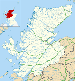
Dornie is located in Highland
Dornie

 Dornie shown within the Highland council area
Population 360 
OS grid reference NG881261
Council area Highland
Country Scotland
Sovereign state United Kingdom
Post town Dornie
Postcode district IV40 8
Police Northern
Fire Highlands and Islands
Ambulance Scottish
EU Parliament Scotland
List of places: UK • Scotland •
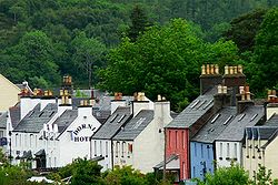
Dornie

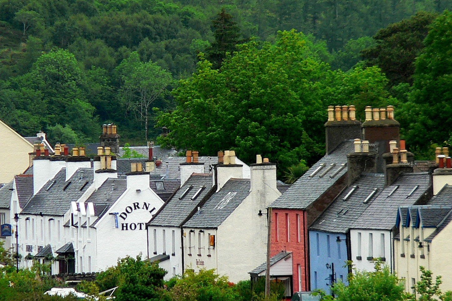
Dornie (An Dòrnaidh in Scottish Gaelic ) is a small former fishing village in the Kintail district in western Ross-shire Highlands of Scotland, with a population of 360 (2006 census [1]).

It is near the meeting point of Loch Duich, Loch Alsh and Loch Long.

The A87, the main road to Skye, passes just outside the village. Before the construction of the bridge, the main road passed through the centre of the village and crossed Loch Long via a short ferry ride. Amongst bagpipers, the tune Dornie Ferry is well known strathspey.

Eilean Donan is a famous castle on a nearby island.

The village itself runs alongside the water hosting a variety of village homes, one tiny shop, a hotel and two bars.

Dornie is also the main stay of Kinlochshiel Shinty Club.


Wikimedia Foundation. 2010.

Игры ⚽ Нужно сделать НИР?

Look at other dictionaries:

  • Dornie — Koordinaten 57° 17′ N, 5° 31′ W …   Deutsch Wikipedia

  • Dornie — 57° 16′ 42″ N 5° 30′ 52″ W / 57.27835, 5.514472 …   Wikipédia en Français

  • Dornie and Bundaloch —    DORNIE and BUNDALOCH, a village, in the parish of Kintail, county of Ross and Cromarty, 7 miles (N. N. W.) from Sheilhouse; containing 510 inhabitants. This is a fishing village on the banks of a branch of Loch Duich, from which the sea is… …   A Topographical dictionary of Scotland

  • Kintail —    KINTAIL, a parish, in the county of Ross and Cromarty, 10 miles (E. S. E.) from Lochalsh; containing, with the village of Dornie and Bundalloch, 1168 inhabitants. This parish derives its name from a Gaelic term, signifying the head of two seas …   A Topographical dictionary of Scotland

  • Eilean Donan Castle — p3 Eilean Donan Castle Eilean Donan Castle im Loch Duich …   Deutsch Wikipedia

  • Eilean Donan — Pour les articles homonymes, voir Eilean et Donan. Eilean Donan …   Wikipédia en Français

  • Scottish Highlands — The Scottish Highlands (Scottish Gaelic: A Ghàidhealtachd , Scots: Hielans ) include the rugged and mountainous regions of Scotland north and west of the Highland Boundary Fault, although the exact boundaries are not clearly defined, particularly …   Wikipedia

  • Highland (council area) — infobox Scotland council area Council= The Highland Council Sgire Comhairle na Gàidhealtachd SizeRank= 1st Size= 30,659 km² Water= ? AdminHQ= Inverness ISO= GB HLD ONS= 00QT PopulationRank= 7th PopulationDate= 2004 Population= 211,340… …   Wikipedia

  • North Glengarry, Ontario — North Glengarry   Township   Maxville …   Wikipedia

  • A87 road — UK road routebox road= A87 length mi= length km= direction= East to west start= Invergarry (gbmappingsmall|NH307011) destinations= end= Uig (gbmappingsmall|NG385635) construction date= completion date= junctions= ukroadsmall|82… …   Wikipedia

Share the article and excerpts

Direct link
Do a right-click on the link above
and select “Copy Link”