- Oulujärvi
-
Oulujärvi 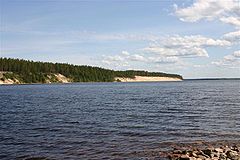
Ärjä island 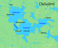
Location Kainuu, Finland Coordinates 64°20′N 027°15′E / 64.333°N 27.25°ECoordinates: 64°20′N 027°15′E / 64.333°N 27.25°E Primary outflows Oulu River Basin countries Finland Surface area 928.09 km2 (358.34 sq mi)[1] Average depth ca. 7 m (23 ft)[2] Max. depth 38 m (125 ft) Surface elevation 120.9–123.6 m (397–406 ft)[1] Settlements Kajaani, Paltamo, Vaala References [1][2] Oulujärvi (Finnish pronunciation: [ˈouluˌjærʋi], Swedish: Ule träsk) is a lake in Finland located in the Oulu Province. With the area of 928 square kilometres (358 sq mi) it is the fifth largest lake in the country. The lake drained by the Oulu River, which flows northwestward from the lake to the Gulf of Bothnia. Its nickname is the "Kainuu sea", and it is surrounded by three municipalities: Vaala, Paltamo and Kajaani.[2] About 40 percent of the lake is in the Vaala municipality.
References
External links
 Media related to Oulujärvi at Wikimedia Commons
-
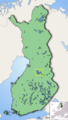
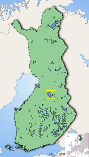
Location of Oulujärvi in Finland
Categories:- Lakes of Finland
- Oulujoki basin
- Kainuu
- Oulu Province geography stubs
-


Wikimedia Foundation. 2010.