- Potter, Nebraska
Infobox Settlement
official_name = Potter, Nebraska
settlement_type = Village
nickname =
motto =
imagesize =
image_caption =
image_
imagesize =
image_caption =
image_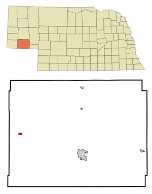
mapsize = 250px
map_caption = Location of Potter, Nebraska
mapsize1 =
map_caption1 =subdivision_type = Country
subdivision_name =United States
subdivision_type1 = State
subdivision_name1 =Nebraska
subdivision_type2 = County
subdivision_name2 = Cheyenne
government_footnotes =
government_type =
leader_title =
leader_name =
leader_title1 =
leader_name1 =
established_title =
established_date =unit_pref = Imperial
area_footnotes =area_magnitude =
area_total_km2 = 1.3
area_land_km2 = 1.3
area_water_km2 = 0.0
area_total_sq_mi = 0.5
area_land_sq_mi = 0.5
area_water_sq_mi = 0.0population_as_of = 2000
population_footnotes =
population_total = 390
population_density_km2 = 308.5
population_density_sq_mi = 799.0timezone = Mountain (MST)
utc_offset = -7
timezone_DST = MDT
utc_offset_DST = -6
elevation_footnotes =
elevation_m = 1341
elevation_ft = 4400
latd = 41 |latm = 13 |lats = 4 |latNS = N
longd = 103 |longm = 18 |longs = 53 |longEW = Wpostal_code_type =
ZIP code
postal_code = 69156
area_code = 308
blank_name = FIPS code
blank_info = 31-39870GR|2
blank1_name = GNIS feature ID
blank1_info = 0832328GR|3
website =
footnotes =Potter is a village in Cheyenne County,
Nebraska , in theUnited States . As of the 2000 census, the village population was 390.On
July 6 ,1928 the then world's largesthail stone fell in Potter - the diameter was 5½ inches, and it weighed 1½ pounds. When cut in half it was found to be a single hailstone rather than several frozen together.The Tin-Roof
Sundae was invented in Potter.Geography
Potter is located at coor dms|41|13|4|N|103|18|53|W|city (41.217830, -103.314788)GR|1.
According to the
United States Census Bureau , the village has a total area of 0.5square mile s (1.3km² ), all of it land.Demographics
As of the
census GR|2 of 2000, there were 390 people, 159 households, and 104 families residing in the village. Thepopulation density was 799.0 people per square mile (307.3/km²). There were 170 housing units at an average density of 348.3/sq mi (134.0/km²). The racial makeup of the village was 97.95% White, 0.26% Native American, 0.77% from other races, and 1.03% from two or more races. Hispanic or Latino of any race were 2.31% of the population.There were 159 households out of which 37.1% had children under the age of 18 living with them, 54.7% were married couples living together, 5.7% had a female householder with no husband present, and 34.0% were non-families. 30.8% of all households were made up of individuals and 15.1% had someone living alone who was 65 years of age or older. The average household size was 2.45 and the average family size was 3.10.
In the village the population was spread out with 31.0% under the age of 18, 4.6% from 18 to 24, 28.2% from 25 to 44, 21.8% from 45 to 64, and 14.4% who were 65 years of age or older. The median age was 36 years. For every 100 females there were 91.2 males. For every 100 females age 18 and over, there were 92.1 males.
The median income for a household in the village was $28,750, and the median income for a family was $37,000. Males had a median income of $26,932 versus $24,500 for females. The
per capita income for the village was $14,344. About 13.5% of families and 17.8% of the population were below thepoverty line , including 19.5% of those under age 18 and 20.8% of those age 65 or over.References
External links
Wikimedia Foundation. 2010.