- Augusta, Montana
Infobox Settlement
official_name = Augusta, Montana
settlement_type = CDP
nickname =
motto =
imagesize =
image_caption =
image_
imagesize =
image_caption =
image_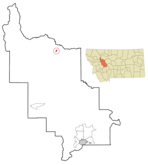
mapsize = 250px
map_caption = Location of Augusta, Montana
mapsize1 =
map_caption1 =subdivision_type = Country
subdivision_name =United States
subdivision_type1 = State
subdivision_name1 =Montana
subdivision_type2 = County
subdivision_name2 = Lewis and Clark
government_footnotes =
government_type =
leader_title =
leader_name =
leader_title1 =
leader_name1 =
established_title =
established_date =unit_pref = Imperial
area_footnotes =area_magnitude =
area_total_km2 = 1.4
area_land_km2 = 1.4
area_water_km2 = 0.0
area_total_sq_mi = 0.6
area_land_sq_mi = 0.6
area_water_sq_mi = 0.0population_as_of = 2000
population_footnotes =
population_total = 284
population_density_km2 = 196.6
population_density_sq_mi = 509.1timezone = Mountain (MST)
utc_offset = -7
timezone_DST = MDT
utc_offset_DST = -6
elevation_footnotes =
elevation_m = 1240
elevation_ft = 4068
latd = 47 |latm = 29 |lats = 27 |latNS = N
longd = 112 |longm = 23 |longs = 39 |longEW = Wpostal_code_type =
ZIP code
postal_code = 59410
area_code = 406
blank_name = FIPS code
blank_info = 30-03025
blank1_name = GNIS feature ID
blank1_info = 0800366
website =
footnotes =Augusta is a
census-designated place (CDP) in Lewis and Clark County,Montana ,United States . The population was 284 at the 2000 census. It is named after the daughter of D. J. Hogan, an early rancher.Augusta is part of the Helena Micropolitan Statistical Area.
Geography
Augusta is located at coor dms|47|29|27|N|112|23|39|W|city (47.490892, -112.394181)GR|1.
According to the
United States Census Bureau , the CDP has a total area of 0.6square mile s (1.5km² ), all of it land.Demographics
As of the
census GR|2 of 2000, there were 284 people, 142 households, and 83 families residing in the CDP. Thepopulation density was 509.1 people per square mile (195.8/km²). There were 193 housing units at an average density of 346.0/sq mi (133.1/km²). The racial makeup of the CDP was 92.61% White, 2.46% Native American, 1.41% from other races, and 3.52% from two or more races. Hispanic or Latino of any race were 1.76% of the population.There were 142 households out of which 19.0% had children under the age of 18 living with them, 48.6% were married couples living together, 6.3% had a female householder with no husband present, and 41.5% were non-families. 38.7% of all households were made up of individuals and 19.0% had someone living alone who was 65 years of age or older. The average household size was 2.00 and the average family size was 2.63.
In the CDP the population was spread out with 19.4% under the age of 18, 4.2% from 18 to 24, 16.9% from 25 to 44, 33.5% from 45 to 64, and 26.1% who were 65 years of age or older. The median age was 50 years. For every 100 females there were 104.3 males. For every 100 females age 18 and over, there were 112.0 males.
The median income for a household in the CDP was $24,688, and the median income for a family was $30,956. Males had a median income of $23,125 versus $15,536 for females. The
per capita income for the CDP was $14,608. About 9.6% of families and 14.7% of the population were below thepoverty line , including 27.5% of those under the age of eighteen and 6.1% of those sixty five or over.References
External links
Wikimedia Foundation. 2010.