- West Yellowstone, Montana
Infobox Settlement
official_name = West Yellowstone, Montana
settlement_type =Town
nickname =
motto =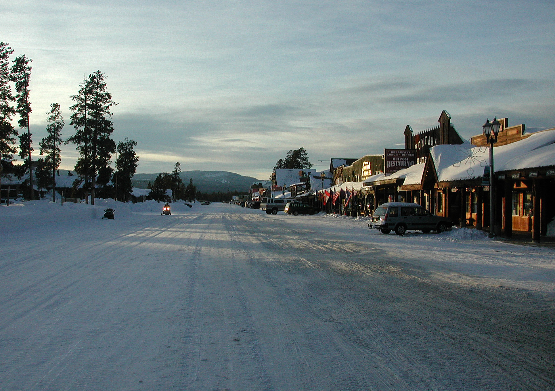
imagesize = 250px
image_caption = Yellowstone Avenue
image_
image_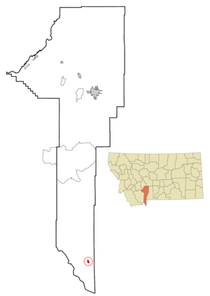
mapsize = 250px
map_caption = Location of West Yellowstone, Montana
mapsize1 =
map_caption1 =subdivision_type = Country
subdivision_name =United States
subdivision_type1 = State
subdivision_name1 =Montana
subdivision_type2 = County
subdivision_name2 = Gallatin
government_footnotes =
government_type =
leader_title =
leader_name =
leader_title1 =
leader_name1 =
established_title =
established_date =unit_pref = Imperial
area_footnotes =area_magnitude =
area_total_km2 = 2.1
area_land_km2 = 2.1
area_water_km2 = 0.0
area_total_sq_mi = 0.8
area_land_sq_mi = 0.8
area_water_sq_mi = 0.0population_as_of = 2000
population_footnotes =
population_total = 1177
population_density_km2 = 563.3
population_density_sq_mi = 1458.9timezone = Mountain (MST)
utc_offset = -7
timezone_DST = MDT
utc_offset_DST = -6
elevation_footnotes =
elevation_m = 2031
elevation_ft = 6663
latd = 44 |latm = 39 |lats = 45 |latNS = N
longd = 111 |longm = 6 |longs = 21 |longEW = Wpostal_code_type =
ZIP code
postal_code = 59758
area_code = 406
blank_name = FIPS code
blank_info = 30-79525
blank1_name = GNIS feature ID
blank1_info = 0793137
website =
footnotes =West Yellowstone is a town in Gallatin County,
Montana , adjacent toYellowstone National Park . The population was 1,177 at the 2000 census. The town is served byYellowstone Airport .Geography
West Yellowstone is located at coor dms|44|39|45|N|111|6|21|W|city (44.662500, -111.105933)GR|1.
According to the
United States Census Bureau , the town has a total area of 0.8square mile s (2.1km² ), all of it land.Climate
West Yellowstone experiences cold, sometimes bitterly cold winters, and mild summers. During summer, the average low is 41°F and the average high is 78°F. During the winter, the average low is 1°F, and the average high is 24°F [http://www.weather.com/weather/wxclimatology/monthly/graph/USMT0353?from=dayDetails_bottomnav_undeclared weather.com monthly averages] .
Demographics
As of the
census GR|2 of 2000, there were 1,177 people, 518 households, and 289 families residing in the town. Thepopulation density was 1,458.9 people per square mile (561.0/km²). There were 806 housing units at an average density of 999.0/sq mi (384.2/km²). The racial makeup of the town was 91.93% White, 0.34% African American, 0.85% Native American, 0.76% Asian, 4.84% from other races, and 1.27% from two or more races. Hispanic or Latino of any race were 7.73% of the population.There were 518 households out of which 26.8% had children under the age of 18 living with them, 42.9% were married couples living together, 8.9% had a female householder with no husband present, and 44.2% were non-families. 34.4% of all households were made up of individuals and 2.5% had someone living alone who was 65 years of age or older. The average household size was 2.15 and the average family size was 2.76.
In the town the population was spread out with 22.4% under the age of 18, 7.9% from 18 to 24, 35.9% from 25 to 44, 28.5% from 45 to 64, and 5.3% who were 65 years of age or older. The median age was 37 years. For every 100 females there were 123.3 males. For every 100 females age 18 and over, there were 121.1 males.
The median income for a household in the town was $30,703, and the median income for a family was $37,250. Males had a median income of $24,297 versus $20,909 for females. The
per capita income for the town was $19,136. About 9.1% of families and 12.9% of the population were below thepoverty line , including 18.2% of those under age 18 and 5.1% of those age 65 or over.ee also
*
Angling in Yellowstone National Park References
External links
* [http://www.townofwestyellowstone.com Town of West Yellowstone]
* [http://www.westyellowstonechamber.com/ West Yellowstone Chamber of Commerce and Visitor Information Center]
* [http://www.readygallatin.com Gallatin County Emergency Management]
Wikimedia Foundation. 2010.