- Parkville, Missouri
Infobox Settlement
official_name = Parkville, Missouri
settlement_type =City
nickname =
motto =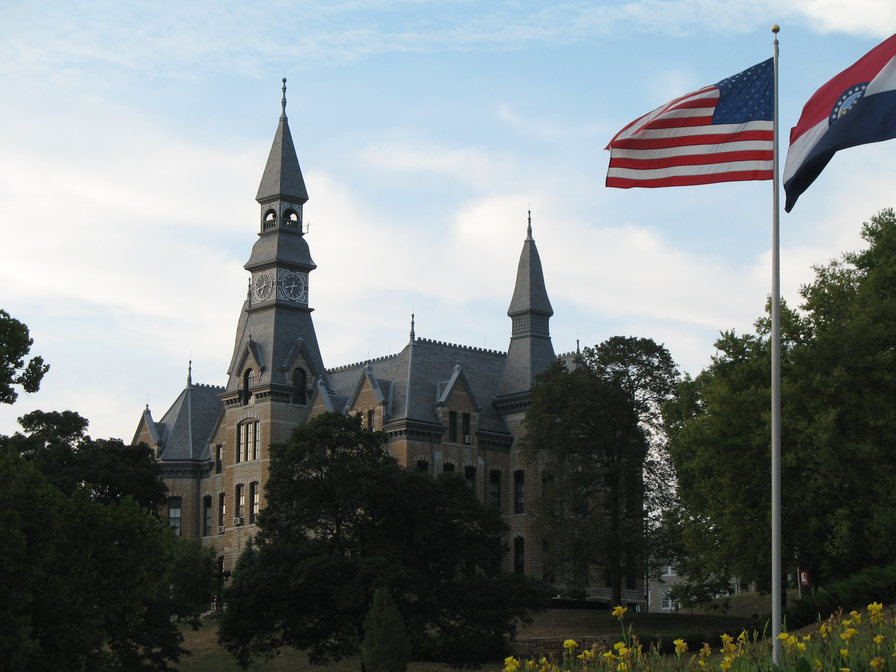
imagesize = 250px
image_caption = McKay Hall at Park University
image_
image_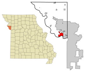
mapsize = 250x200px
map_caption = Location of Parkville, Missouri
mapsize1 = 250px
map_caption1 =subdivision_type = Country
subdivision_name =United States
subdivision_type1 = State
subdivision_name1 =Missouri
subdivision_type2 = County
subdivision_name2 = Platte
government_footnotes =
government_type =
leader_title =
leader_name =
leader_title1 =
leader_name1 =
established_title =
established_date =unit_pref = Imperial
area_footnotes =area_magnitude =
area_total_km2 = 19.4
area_land_km2 = 17.9
area_water_km2 = 1.4
area_total_sq_mi = 7.5
area_land_sq_mi = 6.9
area_water_sq_mi = 0.6population_as_of = 2000
population_footnotes =
population_total = 4059
population_density_km2 = 226.6
population_density_sq_mi = 586.9timezone = Central (CST)
utc_offset = -6
timezone_DST = CDT
utc_offset_DST = -5
elevation_footnotes =
elevation_m = 252
elevation_ft = 827
latd = 39 |latm = 11 |lats = 44 |latNS = N
longd = 94 |longm = 41 |longs = 1 |longEW = Wpostal_code_type =
ZIP code s
postal_code = 64151-64152
area_code = 816
blank_name = FIPS code
blank_info = 29-56288GR|2
blank1_name = GNIS feature ID
blank1_info = 0730174GR|3
website =
footnotes =Parkville is a city in Platte County,
Missouri ,United States . The population was 4,059 at the 2000 census. Parkville is known for its antique shops, art galleries, and historic downtown. The city is home toPark University andEnglish Landing Park .History
Parkville is named for
George S. Park who bought the steamboat landing concession on the Missouri River from the English Brothers in 1838 shortly after thePlatte Purchase from the Native Americans opened the area for settlement.In 1853 Park started the
abolitionist newspaper "Industrial Luminary". On April 14, 1855, a mob threw the printing press into the Missouri River and threatened to tar and feather him. However Park at the time was inManhattan, Kansas (where he was the first settler) and was working on establishing a university there that would becomeKansas State University .In 1859 he promoted the Parkville and Grand River Railroad to build the first bridge across the Missouri River. Park lost the battle to Kansas City when the
Hannibal Bridge opened in 1869 making it the dominant city in the region.In 1875 he donated land for what would become
Park University on the bluffs above the Missouri River.Tom Watson designed the
National Golf Club of Kansas City on the north edge of the city. The road passing it is called the Tom Watson ParkwayGeography
Parkville is located at coor dms|39|11|44|N|94|41|1|W|city (39.195602, -94.683636)GR|1.
According to the
United States Census Bureau , the city has a total area of 7.5square mile s (19.3km² ), of which, 6.9 square miles (17.9 km²) of it is land and 0.6 square miles (1.5 km²) of it (7.50%) is water.Demographics
As of the
census GR|2 of 2000, there were 4,059 people, 1,510 households, and 1,060 families residing in the city. Thepopulation density was 586.9 people per square mile (226.5/km²). There were 1,587 housing units at an average density of 229.5/sq mi (88.5/km²). The racial makeup of the city was 90.37% White, 4.71% African American, 0.52% Native American, 1.31% Asian, 0.96% Pacific Islander, 0.81% from other races, and 1.33% from two or more races. Hispanic or Latino of any race were 2.27% of the population.There were 1,510 households out of which 37.4% had children under the age of 18 living with them, 59.1% were married couples living together, 7.7% had a female householder with no husband present, and 29.8% were non-families. 23.8% of all households were made up of individuals and 5.6% had someone living alone who was 65 years of age or older. The average household size was 2.54 and the average family size was 3.04.
In the city the population was spread out with 26.4% under the age of 18, 12.4% from 18 to 24, 29.9% from 25 to 44, 25.2% from 45 to 64, and 6.1% who were 65 years of age or older. The median age was 36 years. For every 100 females there were 95.0 males. For every 100 females age 18 and over, there were 93.5 males.
The median income for a household in the city was $68,600, and the median income for a family was $86,820. Males had a median income of $64,917 versus $31,740 for females. The
per capita income for the city was $33,119. About 5.0% of families and 6.5% of the population were below thepoverty line , including 8.1% of those under age 18 and 3.3% of those age 65 or over.References
External links
* [http://www.parkvillemo.com/ Parkville Missouri's Government Website]
* [http://www.parkvillemo.net/ Parkville Missouri's Community Website]
* [http://www.parkvilleluminary.com/ The Luminary: Parkville's Hometown Newspaper]
* [http://www.parkville.info/ Parkville's Community & Business Information Pages]
* [http://www.parkvillechamber.com/ Parkville Missouri's Chamber of Commerce]
* [http://www.park.edu/ Park University located in Parkville Missouri]
Wikimedia Foundation. 2010.