- Bohušovice nad Ohří
Geobox | Settlement
name = Bohušovice nad Ohří
other_name =
category = Town

image_caption = Elementary school in western side of Hus Square
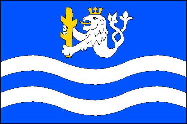
symbol = Bohušovice nad Ohří znak.png
official_name =
motto =
nickname =
country = Czech Republic
country_
state =
region = Ústí nad Labem
region_type = Region
district = Litoměřice
district_type = District
commune = Litoměřice
municipality =
part =
river =Ohře
location =
elevation = 151
lat_d = 50
lat_m = 29
lat_s = 37
lat_NS = N
long_d = 14
long_m = 09
long_s = 02
long_EW = E
highest =
highest_elevation =
highest_lat_d =
highest_long_d =
lowest =
lowest_elevation =
lowest_lat_d =
lowest_long_d =
area = 8.62
area_round = 2
population = 2620
population_date =
population_density = auto
established = ~1057
established_type = first mentioned
mayor = Ivo Hynl
timezone =
map_background = Czechia - background map.png
map_locator = Czechia
commons = Bohušovice nad Ohří
statistics = [http://www.statnisprava.cz/ebe/ciselniky.nsf/i/564591 statnisprava.cz]
website = [http://www.bohusovice.cz/ www.bohusovice.cz]
footnotes =Bohušovice nad Ohří ( _de. Bauschowitz an der Eger) is a small town in
Ústí nad Labem Region of theCzech Republic , located in a flat lowland near left bank of the Ohře River about 5 km south ofLitoměřice .External links
* [http://www.bohusovice.cz/ Municipal website]
Gallery


Wikimedia Foundation. 2010.