- Runaway Bay, Queensland
Infobox Australian Place | type = suburb
name = Runaway Bay
city = Gold Coast
state = Queensland
caption =
lga = Gold Coast City
postcode = 4216
est =
pop =
area =
propval =
stategov = Broadwater
fedgov = Fadden
dist2 =
location2=
dist1 =
location1=
near-nw = Coombabah
near-n = Hollywell
near-ne =
near-w = Coombabah
near-e = "Broadwater"
near-sw = Biggera Waters
near-s = Biggera Waters
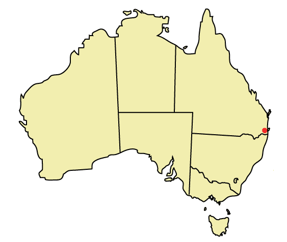
near-se =Runaway Bay is a suburb of the Gold Coast in
Queensland ,Australia . The locality of Anglers Paradise is situated within Runaway Bay. In 1967, the Lae Enterprises company bought 182 hectares of land along the western shore of theGold Coast Broadwater . Development started in 1972 to transform the subdivision into a residential and boating area. The name "Runaway Bay" was coined to promote the area as a tranquil retreat. [cite web | title = Heritage Tours – Runaway Bay | publisher =Gold Coast City Council | url = http://www.goldcoastcity.com.au/t_standard.aspx?pid=1074 | date = 2005-01-04 | accessdate = 2007-11-12]Facilities
Runaway Bay Shopping Village is the main shopping centre in the suburb.
Harbour Town Shopping Centre is located nearby in Biggera Waters. Runaway Bay also contains a public library branch, next to the community centre. Natural amenities include Pine Ridge Conservation Park and various parklands along the western shore of the Broadwater. The Runaway Bay Marina, along with the resident Yacht Squadron, is located just north of the suburb, in Hollywell. Like in many other Gold Coast suburbs, many homes in Runaway Bay are situated along artificial canals.The Sports Super Centre is a premier sports training and events facility in the Gold Coast. Facilities accommodate athletics,
cricket , AFL,netball ,soccer and indoor sports. The sports centre includes a stadium,sports medicine facility, gymnasium and Olympic aquatic centre. [cite web | title = Sports Super Centre – Introduction | url = http://www.sportssupercentre.com.au/index.php?module=pagesetter&func=viewpub&tid=2&pid=4 | accessdate = 2007-11-12]St Francis Xavier School is the only school in the suburb. Biggera Waters Primary school is located in the adjacent suburb of Biggera Waters, and Coombabah High School is located in the adjacent suburb of Coombabah; A. B. Paterson College (P–12) is also located in nearby Arundel.
ee also
*
List of Gold Coast suburbs References
Wikimedia Foundation. 2010.