- Ellsworth, Minnesota
Infobox Settlement
official_name = Ellsworth, Minnesota
settlement_type =City
nickname =
motto =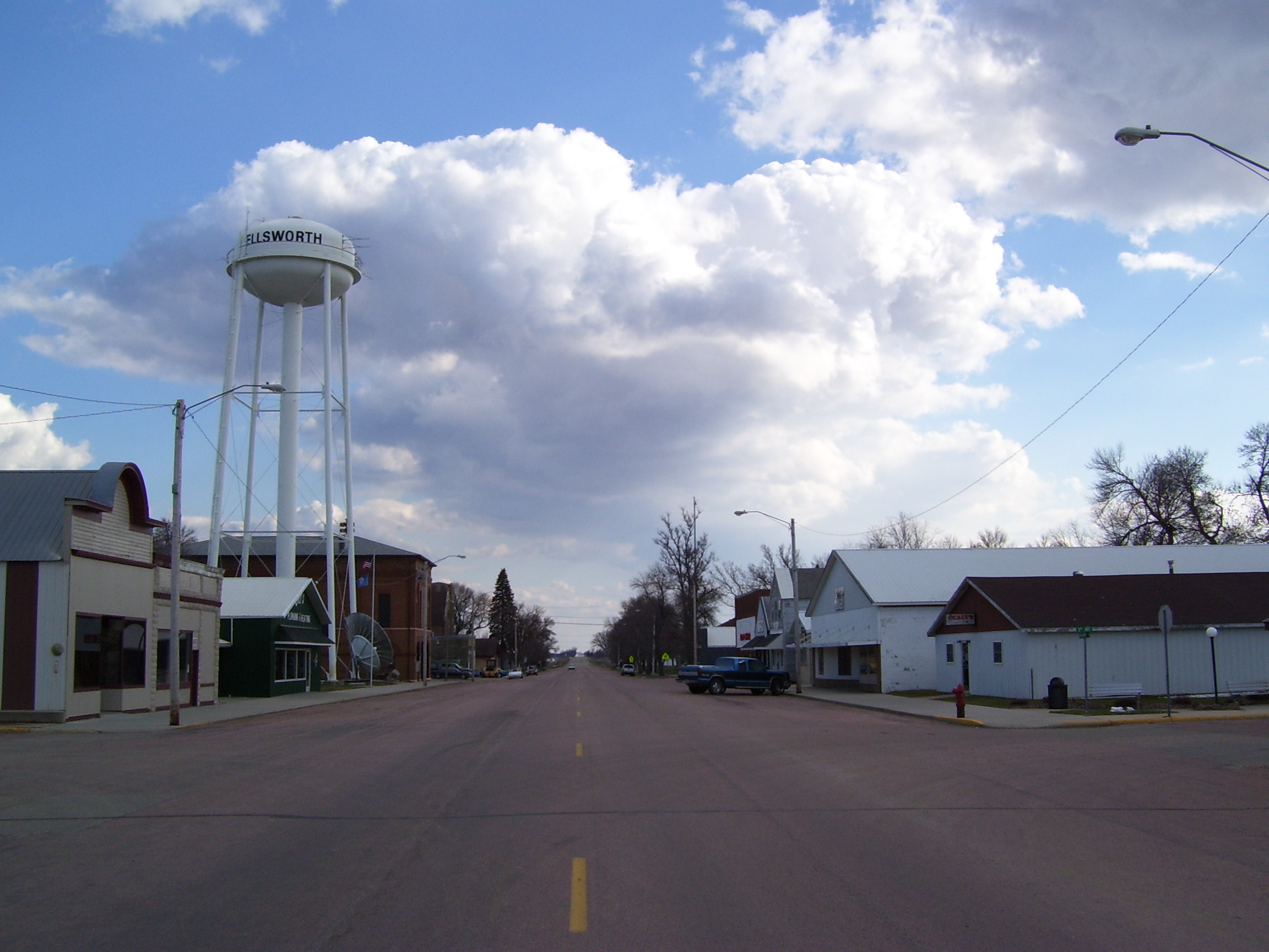
imagesize = 250px
image_caption = Along Broadway Street, Ellworth's main avenue
image_
image_
mapsize = 250px
map_caption = Location of Ellsworth, Minnesota
mapsize1 =
map_caption1 =subdivision_type = Country
subdivision_name =United States
subdivision_type1 = State
subdivision_name1 =Minnesota
subdivision_type2 = County
subdivision_name2 = Noblesgovernment_footnotes =
government_type =
leader_title =
leader_name =
leader_title1 =
leader_name1 =
established_title =
established_date =unit_pref = Imperial
area_footnotes =area_magnitude =
area_total_km2 = 1.7
area_land_km2 = 1.7
area_water_km2 = 0.0
area_total_sq_mi = 0.6
area_land_sq_mi = 0.6
area_water_sq_mi = 0.0population_as_of = 2000
population_footnotes =
population_total = 540
population_density_km2 = 325.4
population_density_sq_mi = 842.8timezone = Central (CST)
utc_offset = -6
timezone_DST = CDT
utc_offset_DST = -5
elevation_footnotes =
elevation_m = 442
elevation_ft = 1450
latd = 43 |latm = 31 |lats = 11 |latNS = N
longd = 96 |longm = 1 |longs = 13 |longEW = Wpostal_code_type =
ZIP code
postal_code = 56129
area_code = 507
blank_name = FIPS code
blank_info = 27-18836GR|2
blank1_name = GNIS feature ID
blank1_info = 0643292GR|3
website =
footnotes =Ellsworth is a city in Nobles County,
Minnesota ,United States . The population was 540 at the 2000 census.Geography
According to the
United States Census Bureau , the city has a total area of 0.6square mile s (1.7km² ), all of it land.Minnesota State Highway 91 serves as a main route in the community.Demographics
As of the
census GR|2 of 2000, there were 540 people, 227 households, and 138 families residing in the city. Thepopulation density was 842.8 people per square mile (325.8/km²). There were 246 housing units at an average density of 383.9/sq mi (148.4/km²). The racial makeup of the city was 98.89% White, 0.19% African American, and 0.93% from two or more races.There were 227 households out of which 24.7% had children under the age of 18 living with them, 49.8% were married couples living together, 6.6% had a female householder with no husband present, and 39.2% were non-families. 37.9% of all households were made up of individuals and 18.9% had someone living alone who was 65 years of age or older. The average household size was 2.19 and the average family size was 2.91.
In the city the population was spread out with 22.2% under the age of 18, 6.9% from 18 to 24, 22.2% from 25 to 44, 18.5% from 45 to 64, and 30.2% who were 65 years of age or older. The median age was 44 years. For every 100 females there were 86.9 males. For every 100 females age 18 and over, there were 83.4 males.
The median income for a household in the city was $28,417, and the median income for a family was $33,438. Males had a median income of $23,875 versus $18,625 for females. The
per capita income for the city was $16,098. About 4.5% of families and 6.1% of the population were below thepoverty line , including 7.8% of those under age 18 and 6.7% of those age 65 or over.References
Wikimedia Foundation. 2010.