- Mook en Middelaar
-
Mook en Middelaar
Mook en Middelar— Municipality — 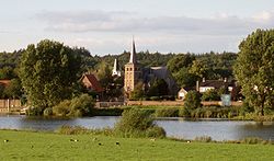
Flag
Coat of arms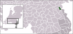
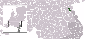
Coordinates: 51°45′09″N 5°52′54″E / 51.7525°N 5.88167°E Country Netherlands Province Limburg Area(2006) - Total 18.84 km2 (7.3 sq mi) - Land 17.38 km2 (6.7 sq mi) - Water 1.46 km2 (0.6 sq mi) Population (1 January 2007) - Total 8,032 - Density 462/km2 (1,196.6/sq mi) Source: CBS, Statline. Time zone CET (UTC+1) - Summer (DST) CEST (UTC+2) Mook en Middelaar (
 pronunciation (help·info)) (Limburgish: Mook en Middelar) is a municipality in the mid-eastern part of the Netherlands, at the northern tip of the province of Limburg. The municipality is located about 100 km. from provincial capital Maastricht. The Mookerheide ("Mook Heath"), situated on the border of Mook, saw in 1574 the Battle of Mookerheyde which was fought as part of the Eighty Years War.
Contents
Population centres
Gallery
-
Mook, former town hall
-
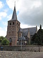
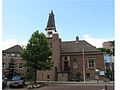
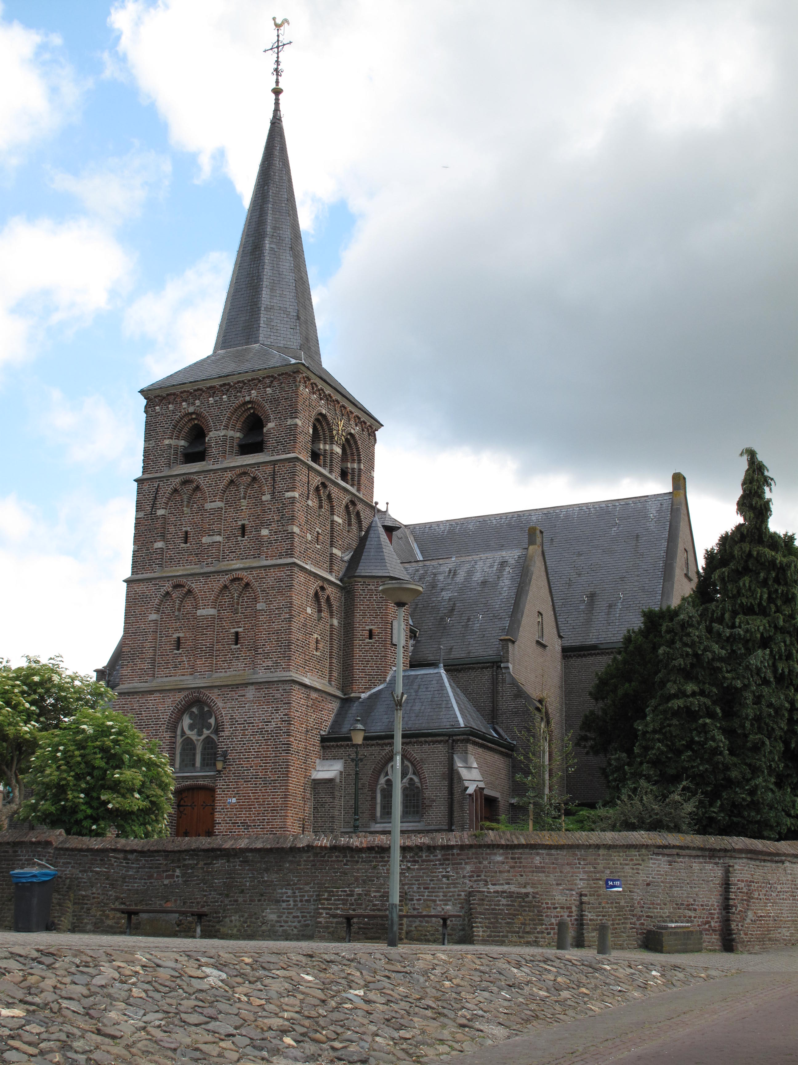
Mook, church
-

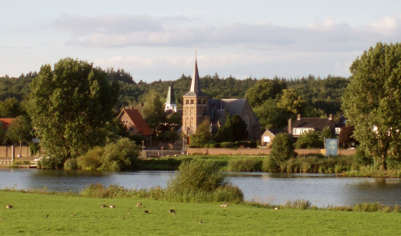
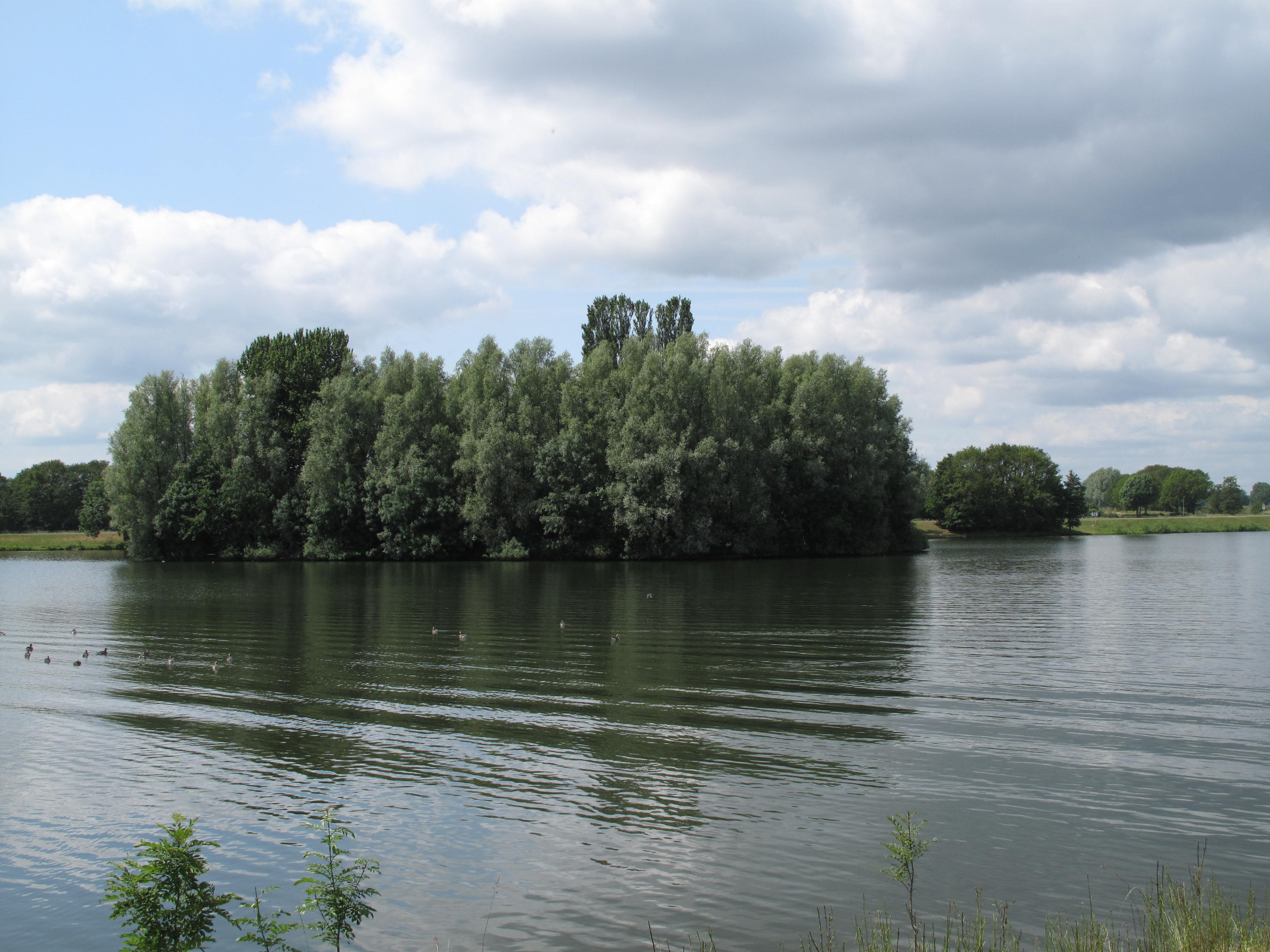
Mookerplas
Born in Mook en Middelaar
- Arjen Teeuwissen (*1971), Dutch equestrian
- Thijs Megens (1985)
- Bart Megens (1987)
External links
Beek · Beesel · Bergen · Brunssum · Echt-Susteren · Eijsden-Margraten · Gennep · Gulpen-Wittem · Heerlen · Horst aan de Maas · Kerkrade · Landgraaf · Leudal · Maasgouw · Maastricht · Meerssen · Mook en Middelaar · Nederweert · Nuth · Onderbanken · Peel en Maas · Roerdalen · Roermond · Schinnen · Simpelveld · Sittard-Geleen · Stein · Vaals · Valkenburg aan de Geul · Venlo · Venray · Voerendaal · Weert
See also: Netherlands · Provinces · Municipalities · map Coordinates: 51°45′09″N 5°52′54″E / 51.7525°N 5.88167°E
Categories:- Municipalities of Dutch Limburg
- Dutch Limburg geography stubs
-


Wikimedia Foundation. 2010.