- Caguanes National Park
Infobox protected_area | name = Caguanes National Park
iucn_category = II
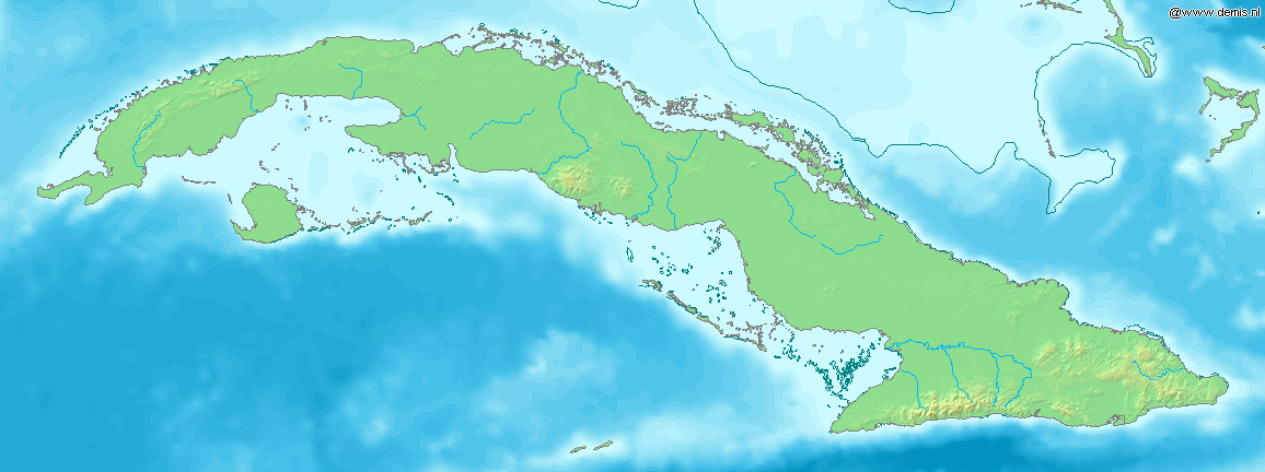
caption = Location of "Caguanes National Park" inCuba
locator_x = 151
locator_y = 26
location=CUB
nearest_city = Yaguajay
lat_degrees = 22
lat_minutes = 22
lat_seconds = 47
lat_direction = N
long_degrees = 79
long_minutes = 07
long_seconds = 45
long_direction = W
area = km2 to mi2|204.87|abbr=yes
established =
visitation_num =
visitation_year =
governing_body =Caguanes National Park ( _es. Parque Nacional Caguanes) is a
national park inCuba . It is located in the Yaguajay municipality in the northern part ofSancti Spíritus Province , on the northern (atlantic) coast of Cuba.It is established around the Caguanes peninsula and includes 10 small
cay s (Cayos de Piedra) that reach out in theBay of Buena Vista (aRamsar Convention site), as well as the "Guayaberas" swamps andmangrove s. The park covers an area of km2 to mi2|204.87|abbr=yes.cite web |url=http://www.snap.cu/listados.htm |title=Protected Areas |author=National Protected Areas System of Cuba |accessdate=2007-10-10]Conservation
The coastal landscape is characterized by caves, arches and niches that open to the sea. A total of 79 caves were numbered in the area.cite web|url=http://www.radiohc.cu/espanol/medioambiente/parques/caguanes.htm |title=Yaguajay y el Parque Nacional Caguanes |author=Radio Habana |accessdate=2007-10-10 Es icon]
The ecosystem consists of more than 200 species, 24 of them endemic. 112 species of birds nest in the marsh and coastal area. A large population of mariposa
bat s is present in the "Tres Dolinas" cave. A decline in migratory aquatic birds (spoonbill s,flamingo s,pelican s) nesting in the marshes was registered here. The closure of three sugar mills reduced the pollution in swamps and bay, and numbers were increasing as of 2007. [cite web |url=http://www.cubaheadlines.com/better_ecosystem_in_caguanes_national_park.html |title=Better ecosystem in Caguanes National Park |author=Cuba News Headlines |year=2007|month=March|accessdate=2007-10-10]35 archeology sites are also conserved here, most of them representing cave dwellers. Cave murals can be found in the partially submerged cave system.cite web |url=http://www.dtcuba.com/ServiceInfo.aspx?pt=28&pc=1008&refp=shortcuts |title=Parque Nacional Caguanes |author=Cuban Department of Tourism |accessdate=2007-10-10 Es icon]
References
----
Wikimedia Foundation. 2010.