- Neugernsdorf
-
Neugernsdorf 
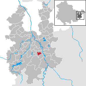
 NeugernsdorfLocation of Neugernsdorf within Greiz district
Coordinates 50°42′32″N 12°7′48″E / 50.70889°N 12.13°ECoordinates: 50°42′32″N 12°7′48″E / 50.70889°N 12.13°E Administration Country Germany State Thuringia District Greiz Municipal assoc. Leubatal Mayor Werner Feustel Basic statistics Area 3.78 km2 (1.46 sq mi) Elevation 310 m (1017 ft) Population 161 (31 December 2010)[1] - Density 43 /km2 (110 /sq mi) Other information Time zone CET/CEST (UTC+1/+2) Licence plate GRZ Postal code 07980 Area code 036625 Website www.leubatal.de Neugernsdorf is a municipality in the district of Greiz, in Thuringia, Germany.
Auma · Bad Köstritz · Berga · Bethenhausen · Bocka · Brahmenau · Braunichswalde · Braunsdorf · Caaschwitz · Crimla · Endschütz · Gauern · Göhren-Döhlen · Greiz · Großenstein · Hain · Harth-Pöllnitz · Hartmannsdorf · Hilbersdorf · Hirschfeld · Hohenleuben · Hohenölsen · Hundhaupten · Kauern · Korbußen · Kraftsdorf · Kühdorf · Langenwetzendorf · Langenwolschendorf · Lederhose · Linda bei Weida · Lindenkreuz · Lunzig · Merkendorf · Mohlsdorf · Münchenbernsdorf · Neugernsdorf · Neumühle/Elster · Paitzdorf · Pölzig · Reichstädt · Ronneburg · Rückersdorf · Saara · Schömberg · Schwaara · Schwarzbach · Seelingstädt · Silberfeld · Staitz · Steinsdorf · Teichwitz · Teichwolframsdorf · Vogtländisches Oberland · Weida · Weißendorf · Wiebelsdorf · Wildetaube · Wünschendorf/Elster · Zadelsdorf · Zedlitz · Zeulenroda-Triebes

References
- ^ "Bevölkerung nach Gemeinden, erfüllenden Gemeinden und Verwaltungsgemeinschaften" (in German). Thüringer Landesamt für Statistik. 31 December 2010. http://www.statistik.thueringen.de/datenbank/TabAnzeige.asp?tabelle=gg000102%7C%7C.
Categories:- Municipalities in Thuringia
- Greiz district geography stubs

Wikimedia Foundation. 2010.