- Cifuentes, Cuba
-
This article is about the city in Cuba. For other uses, see Cifuentes.
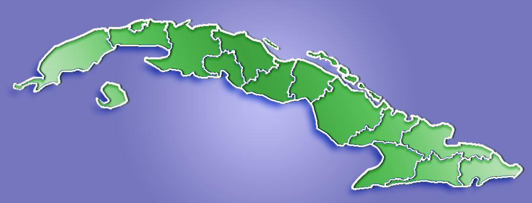
Cifuentes — Municipality — Location of Cifuentes in Cuba

Coordinates: 22°37′15″N 80°03′58″W / 22.62083°N 80.06611°WCoordinates: 22°37′15″N 80°03′58″W / 22.62083°N 80.06611°W Country  Cuba
CubaProvince Villa Clara Founded 1819[1] Established 1919 (Municipality) Area[2] - Total 512 km2 (197.7 sq mi) Elevation 65 m (213 ft) Population (2004)[3] - Total 28,850 - Density 56/km2 (145/sq mi) Time zone EST (UTC-5) Area code(s) +53-422 Cifuentes is a municipality and city in the Villa Clara Province of Cuba founded in 1819[1] and established as a municipality in 1919.
Demographics
In 2009 the municipality of Cifuentes had a population of 28,850, having dropped from 41,789 in 1976.[3] With a total area of 512 km2 (198 sq mi),[2] it had a population density of 56 /km2 (150 /sq mi).
The municipality is divided into the barrios of Alacrán, Amaro, Barro, Cabecera Norte, Cabecera Sur, Este, Oeste and Sitio Grande.[1]
See also
References
- ^ a b c Guije.com. "Cifuentes". http://www.guije.com/pueblo/municipios/vcifuentes/index.htm. Retrieved 2007-10-09. (Spanish)
- ^ a b Statoids (July 2003). "Municipios of Cuba". http://www.statoids.com/ycu.html. Retrieved 2007-10-09.
- ^ a b "Población de Cuba, Provincias y Municipios 1976-2009 Edición 2010". 2010. http://www.one.cu/publicaciones/cepde/poblacion%201976%202009/poblacion%201976%202009.pdf. Retrieved 2010-9-01. (Spanish)
Caibarién · Camajuaní · Cifuentes · Corralillo · Encrucijada · Manicaragua · Placetas · Quemado de Güines · Ranchuelo · Remedios · Sagua la Grande · Santa Clara · Santo Domingo Categories:
- Populated places in Cuba
- Cuba geography stubs
Wikimedia Foundation. 2010.