- Caibarién
Infobox Settlement
official_name = Caibarién
other_name =
native_name =
nickname = La Villa Blanca (The White Town)
settlement_type = Municipality
motto =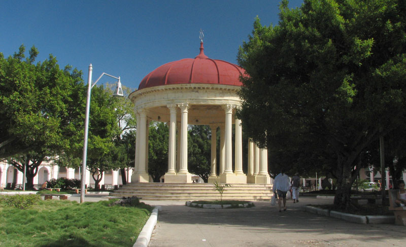
imagesize =
image_caption =
flag_size =
image_
seal_size =
image_shield =
shield_size =
city_logo =
citylogo_size =
mapsize =
map_caption =
map_caption1 =
image_dot_
dot_mapsize =
dot_map_caption =
dot_x = |dot_y =
pushpin_
pushpin_label_position = none
pushpin_map_caption = Location of Caibarién inCuba
pushpin_mapsize = 280
subdivision_type = Country
subdivision_name = flag|Cuba
subdivision_type1 = Province
subdivision_name1 = Villa Clara
subdivision_type2 =
subdivision_name2 =
subdivision_type3 =
subdivision_name3 =
subdivision_type4 =
subdivision_name4 =
government_footnotes =
government_type =
leader_title =
leader_name =
leader_title1 =
leader_name1 =
leader_title2 =
leader_name2 =
leader_title3 =
leader_name3 =
leader_title4 =
leader_name4 =
established_title = Founded
established_date = 1841
established_title2 = Established
established_date2 = 1876 (Municipality)
established_title3 =
established_date3 =
area_magnitude =
unit_pref =
area_footnotes =
area_total_km2 = 212
area_land_km2 =
area_water_km2 =
area_land_sq_mi =
area_blank1_title =
area_blank1_km2 =
population_as_of = 2004
population_footnotes =
population_note =
population_total = 38064
population_density_km2 = 179.5
population_urban =
population_density_urban_km2 =
population_blank1_title =
population_blank1 =
timezone = EST
utc_offset = -5
timezone_DST =
utc_offset_DST =
latd= 22|latm= 30|lats= 57|latNS=N
longd= 79|longm= 28|longs= 20|longEW=W
elevation_footnotes =
elevation_m = 5
postal_code_type =
postal_code =
area_code = +53-422
blank_name =
blank_info =
blank1_name =
blank1_info =
website =
footnotes = Caibarién is a municipality city in the Villa Clara province ofCuba .It was founded in 1841, and established as a municipality in 1876.
Caibarien it is known as "La Villa Blanca" (The White Town) for its sands and beaches. The are famous for their "Parrandas" (Carnivals) along with Remedios (the neighboring town located km to mi|7 west) and
Camajuani .Geography
The city is situated on the north coast of
Cuba , bordering theBay of Buena Vista (Bahia de Buena Vista) of theAtlantic Ocean . It lies at the eastern extremity of theVilla Clara Province , close to the border withSancti Spíritus Province . The town is served by the Caibarien Airport airport codes|-|MUCB.The municipality is divided into the
barrio s of Primero, Segundo, Tercero, Cuarto and Quinto.Cite web|url=http://www.guije.com/pueblo/municipios/vcaibarien/index.htm|title=Caibarién|author=Guije.com|accessdate=2007-10-09 Es icon]Economy and tourism
It served as a shipping point for agricultural commodities, such as
sugarcane ,tobacco , andfruit . It also served as a sponge-fishing center. Its hotels are now destroyed by lack of care, and most concrete houses are crumbling on to its streets. The piers that once served as shipping points for agricultural commodities have fallen into the bay. The two sugar mills that used to send their sugar exports through the harbor are now closed and crumbling. The major sugar mill (Reforma) it is now a museum for tourist.The
Parrandas carnivals take place twice a year on August-September and by the mid of December. They last usually for about two weeks at a time.The main center for tourists in Caibarien is "Los Cayos"(The Cays) with such
cay s as Cayo Santa Maria, Cayo Fragoso, Cayo las Brujas, etc. New Cuban reforms now allow Cuban citizens to enter the resorts and beaches that were once exclusive to tourist.Demographics
In 2004, the municipality of Caibarién had a population of 38,064.Cite web| url=http://www.atenas.inf.cu/todo/Estadisticas/TABLA%20No_3balance.htm| title=2004 Population trends, by Province and Municipality| author= Atenas.cu| year= 2004| accessdate=2007-10-09 Es icon] With a total area of km2 to mi2|212|abbr=yes|wiki=yes,Cite web|url=http://www.statoids.com/ycu.html|title=Municipios of Cuba|author=Statoids| year=2003| month=July| accessdate=2007-10-09 ] it has a population density of Pop density km2 to mi2|179.5|abbr=yes.
ee also
*
Municipalities of Cuba
*List of cities in Cuba References
External links
* [http://www.cenit.cult.cu/sites/caibarien/galeria_fotos_01.html Pictures of Caibarién]

Wikimedia Foundation. 2010.