- Madruga, Cuba
-
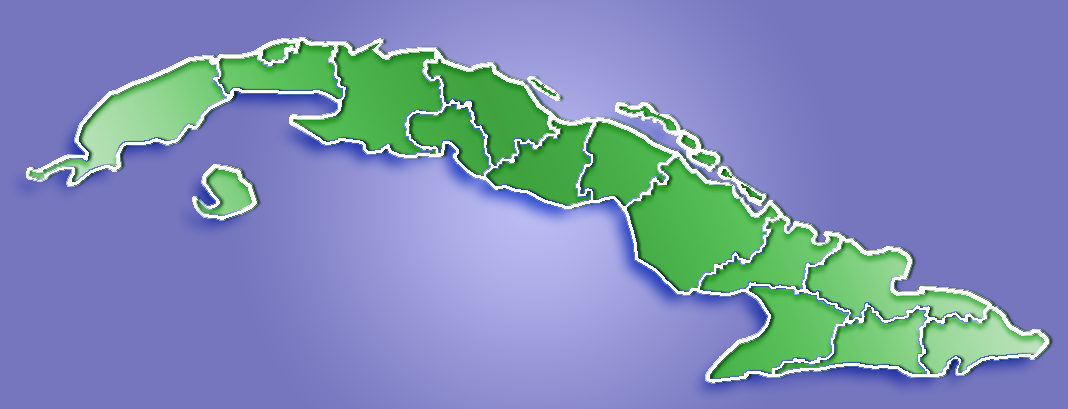
Madruga — Municipality — Location of Madruga in Cuba

Coordinates: 22°54′59″N 81°51′26″W / 22.91639°N 81.85722°WCoordinates: 22°54′59″N 81°51′26″W / 22.91639°N 81.85722°W Country  Cuba
CubaProvince Mayabeque Founded 1803[1] Established 1866 (Municipality) Area[2] - Total 464 km2 (179.2 sq mi) Elevation 175 m (574 ft) Population (2004)[3] - Total 30,640 - Density 66.0/km2 (170.9/sq mi) Time zone EST (UTC-5) Area code(s) +53-47 Madruga is a municipality and city in the Mayabeque Province of Cuba. It is located in the eastern part of the province, between Matanzas and Güines.
It was founded in 1803.[1]
Demographics
In 2004, the municipality of Madruga had a population of 30,640.[3] With a total area of 464 km2 (179 sq mi),[2] it has a population density of 66.0 /km2 (171 /sq mi).
In 1940, the municipality was divided into the barrios of Concordia and Cayajabos, Este, Itabo, Majagua, Oeste, Sabana de Robles and San Blas.[1]
After 1973, the municipality includes Madruga, Aguacate, Viviendas Campesinas, La Granja, Cayajabos Pipián and Flor de Itabo.
See also
References
- ^ a b c Guije.com. "Madruga". http://www.guije.com/pueblo/municipios/hmadruga/index.htm. Retrieved 2007-10-07. (Spanish)
- ^ a b Statoids (July 2003). "Municipios of Cuba". http://www.statoids.com/ycu.html. Retrieved 2007-10-07.
- ^ a b Atenas.cu (2004). "2004 Population trends, by Province and Municipality". Archived from the original on 2007-09-27. http://web.archive.org/web/20070927111826/http://www.atenas.inf.cu/todo/Estadisticas/TABLA+No_3balance.htm. Retrieved 2007-10-07. (Spanish)
Batabanó · Bejucal · Güines · Madruga · Melena del Sur · Nueva Paz · San José de las Lajas · Jaruco · San Nicolás de Bari · Quivicán · Santa Cruz del Norte Categories:
- Populated places in Cuba
- Cuba geography stubs
Wikimedia Foundation. 2010.