- Clendening Lake
-
Clendening Lake Location Harrison County, Ohio Coordinates 40°16′7″N 81°16′36″W / 40.26861°N 81.27667°WCoordinates: 40°16′7″N 81°16′36″W / 40.26861°N 81.27667°W reservoir;[1]
40°16′17″N 81°16′36″W / 40.27139°N 81.27667°W dam[2]Lake type reservoir Primary inflows Brushy Fork - source
40°15′1″N 81°1′28″W / 40.25028°N 81.02444°W[3]Primary outflows Brushy Fork - mouth
40°16′1″N 81°17′4″W / 40.26694°N 81.28444°W, Elevation: 860 feet (260 m)[3]Basin countries USA Max. length 10 miles (16 km)[1] Surface area 1,800 acres (7.3 km2)[4] Shore length1 43 miles (69 km)[5] Surface elevation 898 feet (274 m)[2] 1 Shore length is not a well-defined measure. Clendening Lake is a reservoir located in Harrison County, Ohio, in the United States of America, formed by damming Brushy Fork, 0.5 miles (0.80 km) East of Tippecanoe.[1]
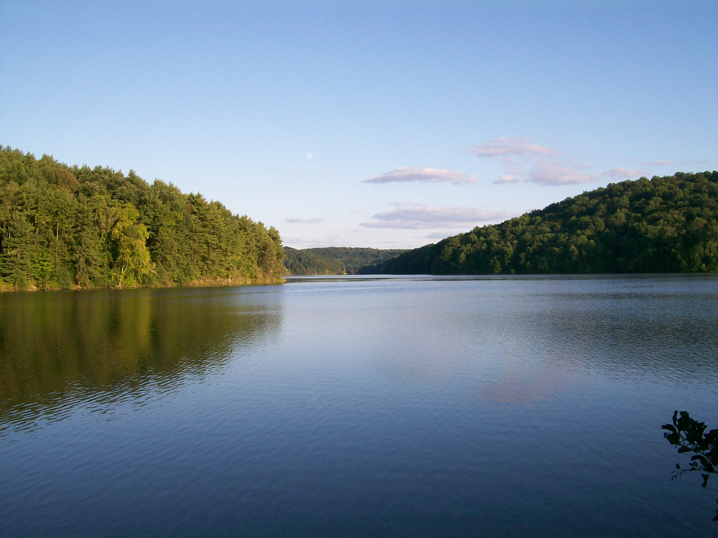
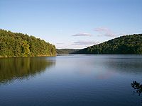 Clendening Lake in September 2009.
It is part of the Muskingum Watershed Conservancy District, which was created in 1933 to control flooding in the state of Ohio, primarily due to the flood of 1913. It is known as the largest undeveloped lake in the state of Ohio, yet has on its shores: Boy Scout Summer Camp Fort Steuben Scout Reservation Clendening Marina in Freeport, Ohio and the YMCA's Camp Tippecanoe near the town of Tippecanoe, Ohio, along with a campground, playground, and picnic area. Locals to the area have said that there are still buildings under the lake's waters from a former community that existed prior to the area's flooding to create the lake.
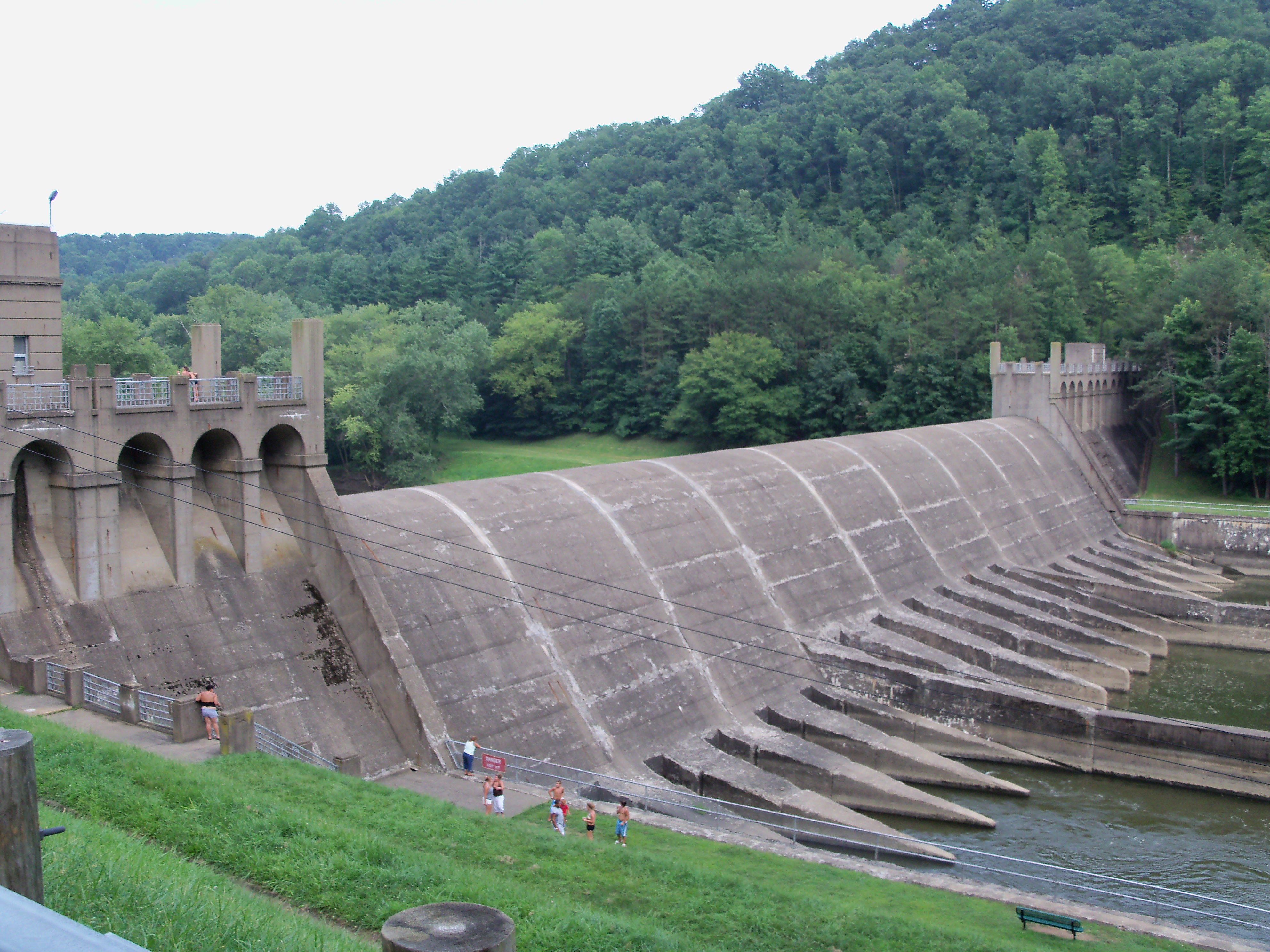
Clendening Dam
Clendening dam is 750 feet (230 m) long, located 0.6 miles (0.97 km) East of the community of Tippecanoe with a normal water pool level of 898 feet (274 m) above sea level.[2]
References
- ^ a b c "Clendening Lake". Geographic Names Information System, U.S. Geological Survey. http://geonames.usgs.gov/pls/gnispublic/f?p=gnispq:3:::NO::P3_FID:1085458. Retrieved 2009-05-04.
- ^ a b c "Clendening Dam". Geographic Names Information System, U.S. Geological Survey. http://geonames.usgs.gov/pls/gnispublic/f?p=gnispq:3:::NO::P3_FID:1080469. Retrieved 2009-05-04.
- ^ a b "Brushy Fork". Geographic Names Information System, U.S. Geological Survey. http://geonames.usgs.gov/pls/gnispublic/f?p=gnispq:3:::NO::P3_FID:1066610. Retrieved 2009-05-04.
- ^ http://www.mwcdlakes.com/clenden.htm
- ^ http://www.clendeninglake.com/
External links
- Ohio DNR fishing map of Clendening Lake
- http://www.mwcdlakes.com/clenden.htm
- http://www.wikimapia.org/#lat=40.2323635&lon=-81.1161804&z=10&l=0&m=a&v=2
Muskingum Watershed Conservancy District Projects Atwood Lake • Beach City Lake • Charles Mill Lake • Clendening Lake • Leesville Lake • Piedmont Lake • Pleasant Hill Lake • Seneca Lake • Tappan Lake • Wills Creek Lake • Bolivar Dam • Dover Dam • Mohawk Dam • Mohicanville Dam
Related topics Flood Control Act of 1939 • Ohio Division of Wildlife • U.S. Army Corps of Engineers • Muskingum RiverImages websites: MWCD U.S. ACE, Huntington Dist.Categories:- Reservoirs in Ohio
- Geography of Harrison County, Ohio
- Muskingum Watershed Conservancy District
- Appalachian Ohio geography stubs
Wikimedia Foundation. 2010.