- Chandalar River
-
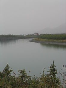 East Fork of the Chandalar River, at Arctic Village
The Chandalar River (T’eedriinjik[1] in Gwich’in) is a river in Alaska. Its peak flow recorded by the USGS was 62,800 cubic feet per second ( 1,780,000 liters per second), on June 9, 1968. [1]
The Chandalar River is in the northern interior of the state of Alaska. It flows into the Yukon River less than 50 miles (80 km) west of Fort Yukon, Alaska.
The North Fork of the Chandalar River begins near Atigun Pass in the Brooks Range. At these headwaters of the Chandalar River is a flat valley known as Chandalar shelf just east of the Dalton Highway, where caribou are known to winter.
The longer East Fork has its headwaters near the Romanzof Mountains in the eastern Brooks Range. From there, it flows down past Arctic Village, then joins the North Fork and continues past the village of Venetie to the Yukon River.
-

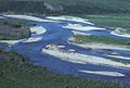
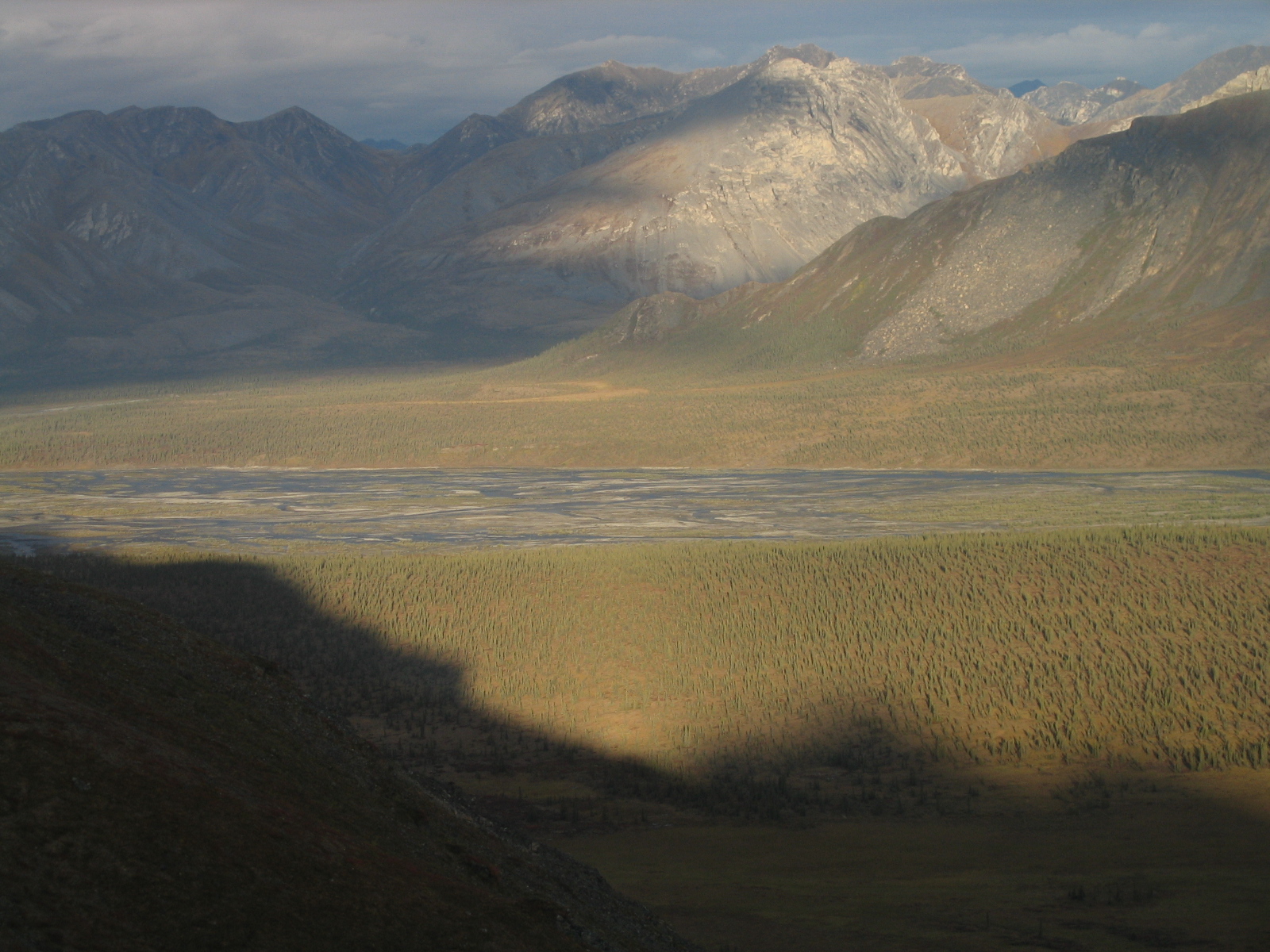
Sunrise over the East Fork of the Chandalar River, in the Brooks Range
-
Chandalar River in summer
-
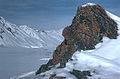
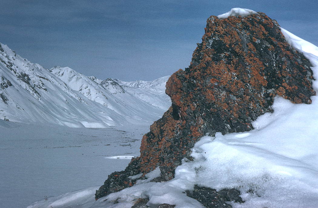
Chandalar River in winter
-
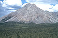
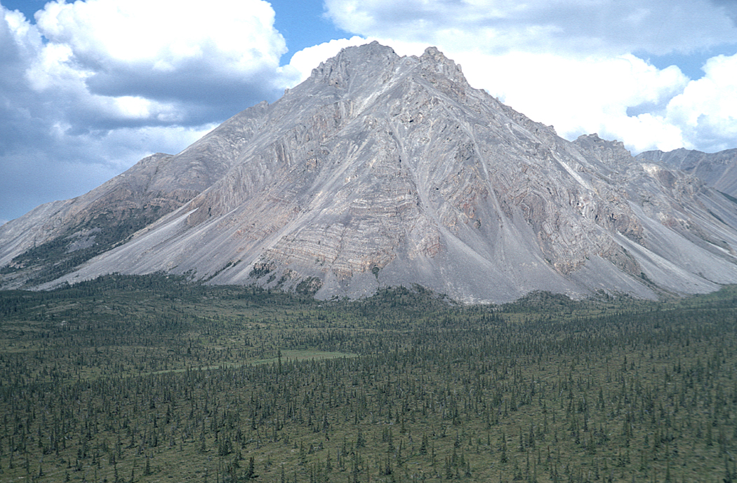
Mountain in the Chandalar River Valley
See also
- List of Alaska rivers
References
External links
Coordinates: 66°36′33″N 146°00′09″W / 66.60917°N 146.0025°W
Categories:- Rivers of Alaska
- Landforms of Yukon–Koyukuk Census Area, Alaska
- Brooks Range
- Interior Alaska geography stubs
-


Wikimedia Foundation. 2010.