- Muchivolu
-
Muchivolu — village — Village High School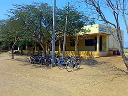
Coordinates 13°47′56″N 79°38′2″E / 13.79889°N 79.63389°ECoordinates: 13°47′56″N 79°38′2″E / 13.79889°N 79.63389°E Country India State Andhra Pradesh District(s) Chittoor Parliamentary constituency Tirupati Assembly constituency Srikalahasti Civic agency Panchayat Time zone IST (UTC+05:30) Muchivolu is one of the biggest Gram (Village) Panchayaths in Srikalahasti Mandal, Chittoor district, Andhra Pradesh, India. It is situated 9km north west of well known town Srikalahasti (SKHT) popularly known as Dakshina (South) Kaasi. It is well connected to Srikalahasti through APSRTC( Andhra Pradesh State Road Transport Corporation) buses. There are buses for every 20min to 30min to/from SKHT. 30min to 45mins drive on bus takes you to the village.
It has around 8,000 to 10,000 population with 800 to 1,000 houses. The main source of income for the people in the village comes from agriculture sector. The farmers here mainly cultivate paddy and ground nuts. It has got primary school and high school. It has given many engineers (mostly in the field of IT) and many other people working in different fields. The literacy of the village is approximately 65 to 75% of the village population.
It has got 3 to 4 good temples. The famous festival of the village is Panduranga Swami Vaari Bramhothsavaalu. The festival is celebrated for 7days during May/June time frame every year. They have established a place in the surrounding villages that many people in this village are well educated and employed in the different part of the country and world.
It has one elementary school[1] and one High school[2] in addition to the government sponsored kinder garden school (Anganwadi School).
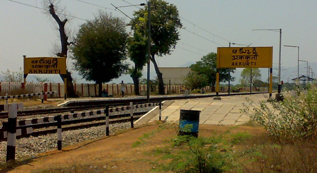
 Nearest Railway Station to the village, Akkurthi
References
Categories:- Villages in Chittoor district
- Vellore district geography stubs


Wikimedia Foundation. 2010.