- Sallent de Gállego
Infobox City
official_name = Sallent de Gállego, Spain | nickname = |
| image_ |
| 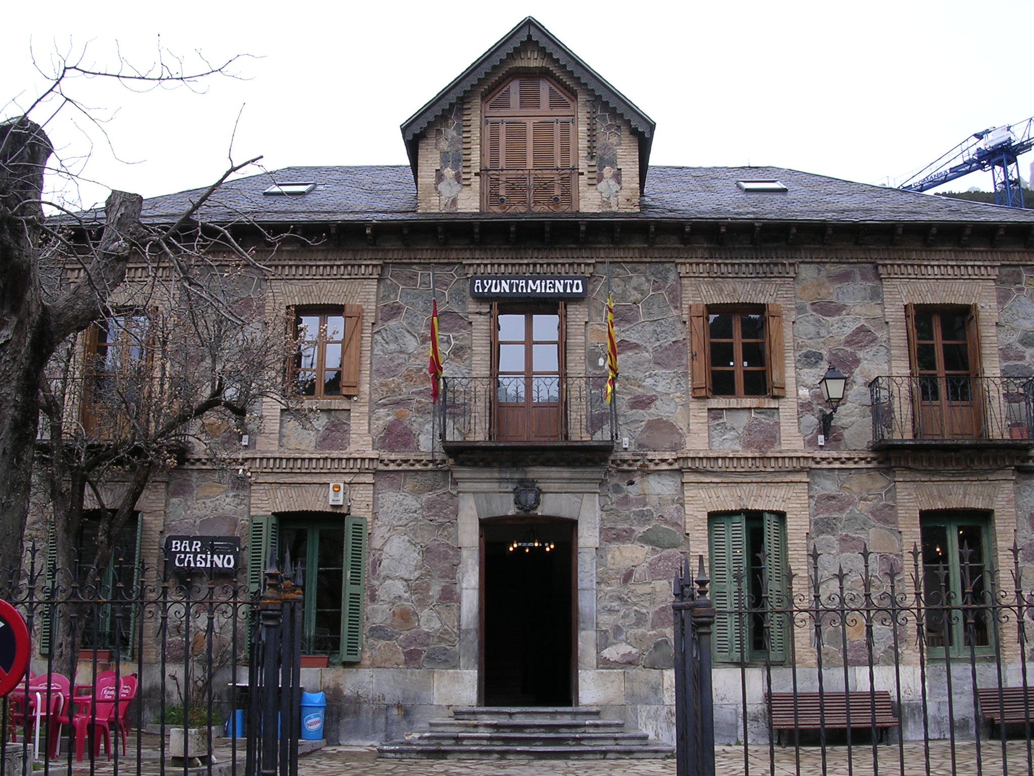
| map_caption =Town hall of Sallent de Gállego | subdivision_type = Country | subdivision_name =Spain | subdivision_type1 = Autonomous community | subdivision_name1 =Aragon | subdivision_type2 = Province | subdivision_name2 = Huesca | subdivision_type3 = Municipality | subdivision_name3 = Sallent de Gállego | leader_title = | leader_name = | area_magnitude = | area_total_km2 = 162 | area_land_km2 = | area_water_km2 = | elevation_m = 1350 | population_as_of = 2004 | population_note = | population_total = 1227 | population_density_km2 = 7.6 | timezone = CET | utc_offset = +1 | timezone_DST = CEST | utc_offset_DST = +2 | latitude = 42º 46' N| longitude = 0º 19' E| website = | footnotes = |Sallent de Gállego is a municipality located in the province of Huesca,
Aragon ,Spain . According to the2004 census (INE), the municipality has a population of 1,227 inhabitants.The town is located in the central
Pyrenees besides the reservoir of Lanuza on the foot of some of the highest summits of the chain, close to the border withFrance . It is part of theAlto Gállego comarca , and it is the capital of theTena Valley .These localities are also part of the municipality:
Formigal ,Portalet d'Aneu , Lanuza,Escarrilla ,Tramacastilla andSandiniés .Landscape
The
Gállego river runs through the town and its first tributary, the "Aguas Limpias", unites to the Gállego inside the town. Both rivers' sources are inside the municipality.The
Foratata peak (2000 m) towers over the town, being an iconic peak for all the valley. Other important summits belonging to the municipality are "Anayet", "Tres Hombres","Arriel" and Balaitous, many of them are over 3000 meters high. These places offer a great variety of mountain and adventure sports. The hike to the "Respomuso" lake and refuge is very popular among alpinists. The GR 11 route that goes along all the Pyrenees goes through the municipality.The Portalet pass that links the
Tena Valley , in Spain, and theOssau Valley , inFrance , is also in Sallent de Gállego.Winter sports
The
Formigal ski resort , a few kilometers up from the town, is the largest resort in Spain and concentrates the majority of hotels and restaurants.
Wikimedia Foundation. 2010.