- Chimkhola
-
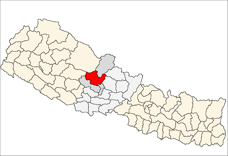
Chimkhola — Village development committee — Location in Nepal
 Chimkhola
Coordinates: 28°31′N 83°33′E / 28.51°N 83.55°ECoordinates: 28°31′N 83°33′E / 28.51°N 83.55°E Country  Nepal
NepalZone Dhawalagiri Zone District Myagdi District Population (1991) - Total 1,456 Time zone Nepal Time (UTC+5:45) Chimkhola is a village development committee in Myagdi District in the Dhawalagiri Zone of western-central Nepal. At the time of the 1991 Nepal census it had a population of 1456 people living in 270 individual households.[1]
Sheer Gaun, was the name of present Chimkhola (Nepali: चीमखोला) because there was no habitation till the foot of Mount Dhaulagiri and as, Sheer refers to the starting so was called Sheer Gaun. Then the area had a huge forest and a river (now Bagarkhola) flowed in the middle of the forest. The forest was so dense that even in daylight the area was "Chim" (Dark) and as there was "Khola" river so people who came here started calling it Chimkhola. And people started living in the north MANGALEKHANE and was no longer the sheer gaun so the name CHIMKHOLA became its name.
With 8925 hectares, 77% of land covered with river and forest whereas remaining part cultivated Chimkhola has its own importance in the hills of Myagdi District. Gaun at the heart of sloppy mountain beneath the shady Raniban where Ghoral, Ratuwa and many birds share common habitat has a beautiful and calm morning, fabulous successful day and safe secure night. It shares its border with Bega in the east, Darmija in the south, Pakhapani in the west and Mangale in the North. With many everlasting beautiful places like Panidakne Dada, Sarakhola, Raghuganga, Gaun Khola, etc. it can fascinate any nature loving human towards it.
Contents
Latitude and Longitude
Its quite hard to locate the exact location as no book today provide the exact location of Chimkhola but through Google Earth study the center part of the village lies at LATITUDE 28"31'6.52°N and LONGITUDE 83"20'59.42°E.
History
The history of this place is hidden and difficult to encrypt as the written chronological are not found. How the human settlement began in this place is only a verbal tradition as told by the ancestors to their descendants.
In 1560 BS (1504 AD), when there used to many tiny Baiyesa and Chaubesi Rajya(state). Then Thakuri Dynesty, King Dibambam Malla had his administrative offices at Benighat and his capital was Dholthan (it was in the north of Beni Bazaar and now is called Pulachaur VDC). Security was the main subject, as many disputes rose between these tiny sates often so any unknown faces were strictly watched. One day two new guys at Benighat used their magical power to cook food and the king knew this through his detectives. They were then summoned by the king and asked to perform their Magical power. Then they asked for a big and a small log; lied the bigger and erected the small above it, by rotating one upon other produce the fire. Probably the king felt that these men had some magical power and would be useful for his state so the king himself served them and gave clothes as well as shelter. But no one knew where they came from? Who were they? Whatever was their race, the king then said from today onward you are tin sare Brahmin and called one SUKARE and other LAMICHHANE. They were married to the local girls but they remained passive for one year with no miracles. So, the king banished them but Sukare Brahmin had a child and Lamichhane’s wife was pregnant. Then they went to BUGLO (now is in Dagnam VDC) started living there but the life was very difficult since they lacked materials and others. They used leaves, to make house and wood to make dishes. With bow-arrow, spade, etc hunted the animals, birds trapped in ilso (sticy fluid obtained from plant), honeybee hunted at tree trunks and hills, tasted every fruits and edibles as tusa, cheu, chitro, genomandro, kafal, gofla, ghayalu, aaiselu, etc. and started to move from one place to other, in due reached to Darmija and Chimkhola. But the problem of marriage arose so they started marrying between the Sukares and Lamichhanes, even today similar ritual is found in the Magar society. So, by 1800 BS the fifth or sixth generation Sukare and Lamichhane reached Chimkhola, even some decades ago people from Chimkhola came to Buglo (around five hours walk from Chimkhola to Buglo) to cultivate according to our grandparents.
Who settled first in Chimkhola is still not known. Making an assumption we can say that Sukare/ Pun were first as their number is still more and grandparents too claim that MAKHAN PUN was the first to arrive in Chimkhola. Whereas RUPAL GARBUJA is claimed the one in Darmija and Dagnam. Slowly people came from neighboring villages and now is inhabited by Pun, Thapa(Garbuja), Tilija, Paija, Roka, Purja, Buddhathoki, Phagami, Chochange, Buduja, Thakuri, Sarki, Kami/ BK, Darji.
Relative Maps
 Map of Chimkhola
The map is a marvelous show piece representing a tick mark and the inhabitance is only in the lower head of the map whereas the remaining area is covered with the dense forest. The northern part is attached with Mustang -the sacred place for MUKTINATH, the eastern part is connecte with Dana, Dowa and Begkhola ahereas the south share boarder with Beghkhola and Dagnam and on the west lies Kuinemangale.
Glimpse of Chimkhola
At the lap of a mountain Chimkhola has its own importance in the region for as MANDALI THAN, JAJARAKOT KO SIDDHA and others. It has nine gabisa(VDC);
Ward No Includes Reference 1 It includes Namila, Gaudamuni, Malang and is the biggest ward of the VDC as well as the highly populated. 2 Jethi Gaun, the area which was alloted to Makhan's eldest wife. 3 4 Kholapari Gaun 5 Kanchi Gaun, the land that was given to youngest wife of Makhan. 6 Tersotola Gaun 7 Tallo Gaun 8 Patlikhet 9 Jaslabang; this is the fattest ward of the VDC, but has a big area. Puja and Religion in Chimkhola
People celebrate various Puja although most of the people are Hindus. Some of the most celebrated festivals in Chimkhola are listed below:
1. Bhume Mela
2. Mandali Puja
3. Mallika PujaWireless Network in Chimkhola
Currently this remote village, has a Wireless Networking connected but could not run smoothly due to poor signals.This project was scheduled by Chimkholes and the man behind the success is Mahabir Pun.
References
- ^ "Nepal Census 2001", Nepal's Village Development Committees (Digital Himalaya), http://www.digitalhimalaya.com/collections/nepalcensus/form.php?selection=1, retrieved 15 November 2009.
External links
Arman, Arthunge, Babiyachaur, Baranja, Begkhola, Bhakilmi, Bima, Chimkhola, Dagnam, Dana, Darwang, Devisthan, Dhatan, Dowa, Gurja Khani, Histhan Mandali, Jhin, Jyamrukot, Kuhunkot, Kuinemangale, Lulang, Malkwang, Marang, Mudi, Muna, Narchyang, Niskot, Okharbot, Pakhapani, Patlekhet, Pulachaur, Rakhu Bhagawati, Rakhupiple, Ramche, Ratnechaur, Roomaga, Shikha, Singa, Takam, Tatopani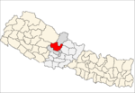 Categories:
- Populated places in Myagdi District

Wikimedia Foundation. 2010.