- Narchyang
-
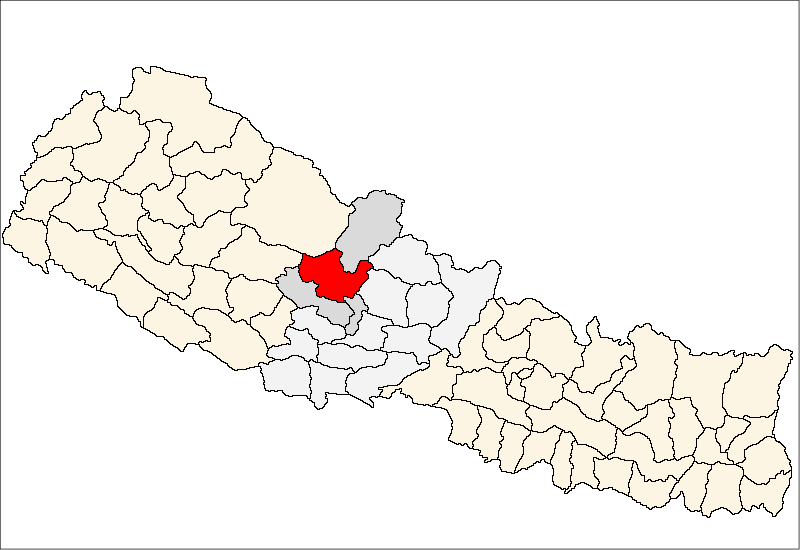
Narchyang — Village development committee — Location in Nepal
 Narchyang
Coordinates: 28°35′N 83°44′E / 28.58°N 83.74°ECoordinates: 28°35′N 83°44′E / 28.58°N 83.74°E Country  Nepal
NepalZone Dhawalagiri Zone District Myagdi District Population (1991) - Total 1,762 Time zone Nepal Time (UTC+5:45) Narchyang is a village development committee in Myagdi District in the Dhawalagiri Zone of western-central Nepal. At the time of the 2001 Nepal census it had a population of 1762 people living in 421 individual households.[1]
References
- ^ "Nepal Census 2001", Nepal's Village Development Committees (Digital Himalaya), http://www.digitalhimalaya.com/collections/nepalcensus/form.php?selection=1, retrieved 15 November 2009.
External links
Arman, Arthunge, Babiyachaur, Baranja, Begkhola, Bhakilmi, Bima, Chimkhola, Dagnam, Dana, Darwang, Devisthan, Dhatan, Dowa, Gurja Khani, Histhan Mandali, Jhin, Jyamrukot, Kuhunkot, Kuinemangale, Lulang, Malkwang, Marang, Mudi, Muna, Narchyang, Niskot, Okharbot, Pakhapani, Patlekhet, Pulachaur, Rakhu Bhagawati, Rakhupiple, Ramche, Ratnechaur, Roomaga, Shikha, Singa, Takam, Tatopani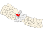 Categories:
- Populated places in Myagdi District
- Dhawalagiri Zone geography stubs

Wikimedia Foundation. 2010.