- Dalgarven
-
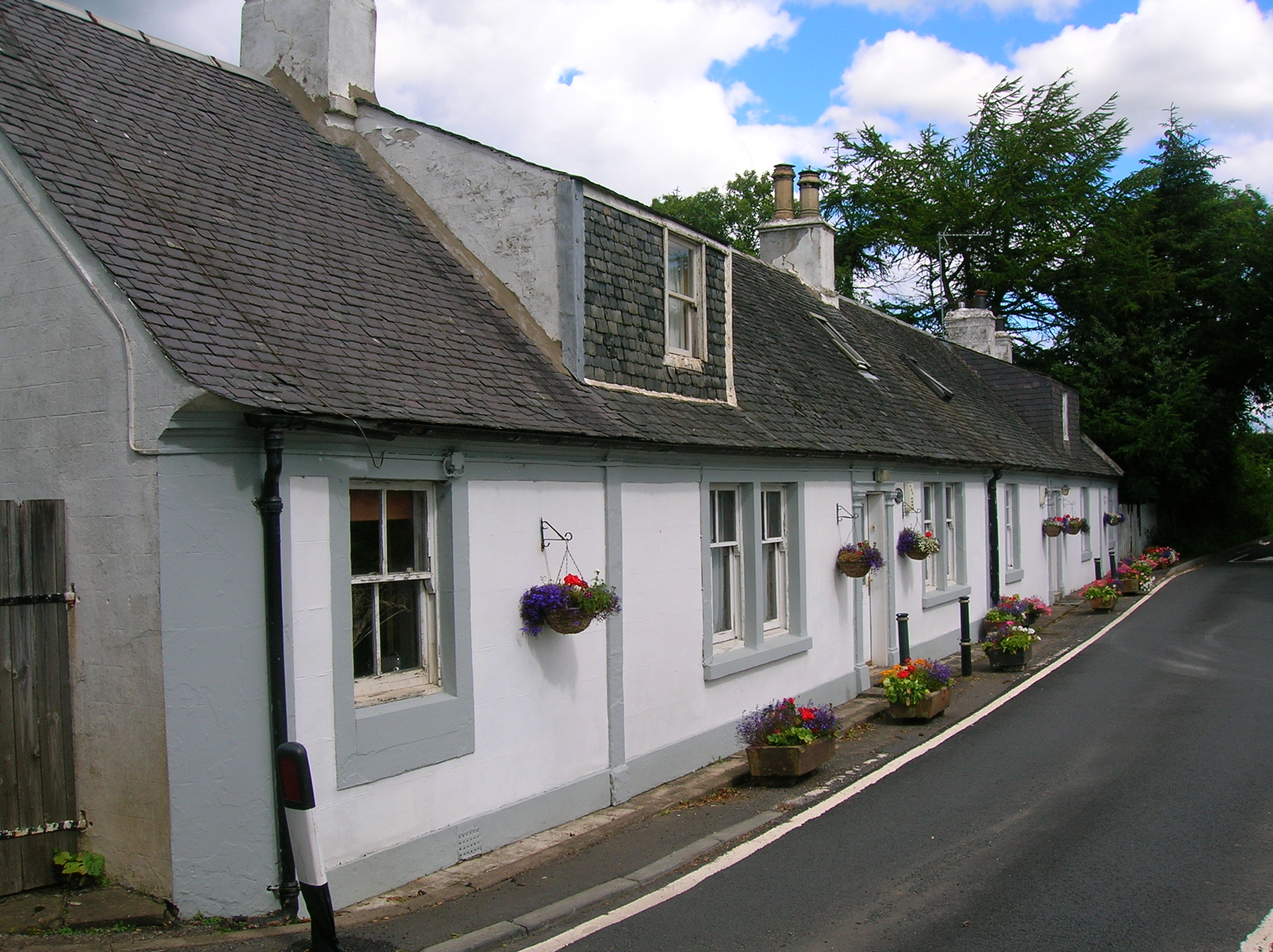
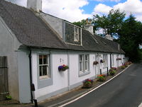 A row at the old village of Dalgarven
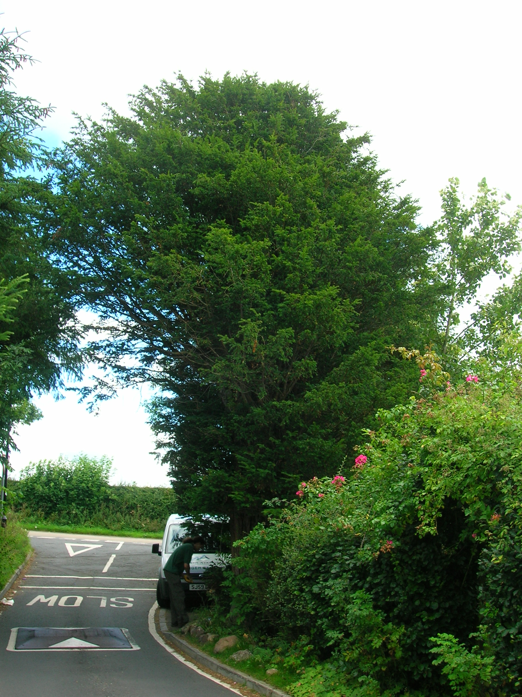
 Old Yew tree at Dalgarven Village.
Coordinates: 55°40′34″N 4°42′40″W / 55.676°N 4.711°W The tiny village of Dalgarven in North Ayrshire, Scotland is located just north of Kilwinning on the road to Dalry.
In 1881 some two hundred people lived in the village, the mill being at its heart, with a Sunday school, smithy, joiner's shop and Dalgarven House. Most of the women were weavers, dressmakers, farm or domestic servants. The men were stonemasons, joiners, farm labourers, platelayers, railway surfacemen, etc. Monkcastle House is at one end of the village and Smithstone House at the other. The coming of the new road resulted in the demolition of most the village apart from the smithy and a cottage row.
A pre-reformation chapel is said to have existed in the vicinity and the old yew tree may be indicative of this.
Located here on the River Garnock is Dalgarven Mill, home to the Museum of Ayrshire Country Life and Costume.
Towns Ardrossan · Beith · Dalry · Irvine · Kilbirnie · Kilwinning · Largs · Saltcoats · Stevenston · West KilbrideVillages Ardeer · Auchentiber · Barrmill · Benslie · Dreghorn · Drybridge · Fairlie · Gateside · Girdle Toll · Glengarnock · Longbar · Skelmorlie · Springside · StanecastleOther settlements
and suburbsBroomlands · Bourtreehill · Burnhouse · Castlepark · Crosbie · Chapeltoun · Cunninghamhead · Dalgarven · The Den · Drakemyre · Eglinton · Fergushill · Fullarton · Giffordland · Greenhills · Highfield · Hunterston · Kelburn · Lawthorn · Meigle · Meikle Auchengree · Montgreenan · Nettlehurst · Perceton · Portencross · Routenburn · Seamill · Sevenacres · Shewalton · TorranyardIsland settlements Main settlementsSmaller settlementsConstituencies UK Parliament: Central Ayrshire · North Ayrshire and Arran · Scottish Parliament: Cunninghame North · Cunninghame SouthNeighbouring council areas: Argyll and Bute · East Ayrshire · Inverclyde · Renfrewshire · South Ayrshire Categories:- Villages in North Ayrshire
Wikimedia Foundation. 2010.