- North Pennine Ring
-
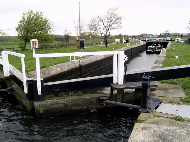
North Pennine Ring Two narrow boats in Kings Road Lock give an idea of the size of locks on the Aire and Calder Navigation.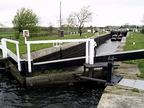
Locks 218 Status Canal ring Navigation authority British Waterways The North Pennine Ring is a canal ring which crosses the Pennines between Manchester and Leeds.
Contents
History
Whilst the concept of canal rings had begun in the 1960s with the Cheshire Ring, the North Pennine Ring is a recent addition, as it was only with the restoration of the Rochdale Canal in 2002 that the ring became a possibility.
The term was coined by enthusiasts as an adjunct to the South Pennine Ring, devised as a marketing tool by British Waterways.
Component canals
Clockwise from Manchester (Castlefields Junction):
- Bridgewater Canal
- Leeds and Liverpool Canal
- Aire and Calder Navigation
- Calder and Hebble Navigation
- Rochdale Canal
Coordinates: 53°28′28″N 2°15′24″W / 53.47444°N 2.25667°W
See also
References
Categories:- Canals in England
- Canal rings in the United Kingdom
- United Kingdom canal stubs
Wikimedia Foundation. 2010.