- Cape Lisburne Long Range Radar Station
Infobox Airport
name = Cape Lisburne LRRS
IATA = LUR
ICAO = PALU
FAA = LUR
type = Military
owner = U.S. Air Force
operator =
city-served =
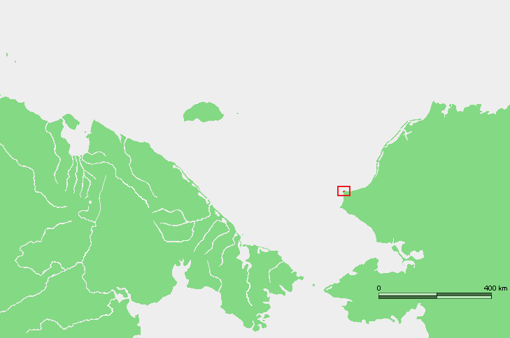
location =Cape Lisburne, Alaska
elevation-f = 12
elevation-m = 4
coordinates = coord|68|52|30|N|166|06|36|W|type:airport|display=inline
website =
r1-number = 8/26
r1-length-f = 4,800
r1-length-m = 1,463
r1-surface = Gravel
footnotes = Source:Federal Aviation Administration FAA-airport|ID=LUR|use=PR|own=MA|site=50082.*A, effective 2007-07-05]Cape Lisburne Long Range Radar Station airport codes|LUR|PALU|LUR is a military
airport located in Cape Lisburne in theU.S. state ofAlaska . It is owned by theU.S. Air Force . It is also known as Cape Lisburne LRRS or Cape Lisburne Airport.Facilities and aircraft
Cape Lisburne LRRS has one gravel
runway (8/26) measuring 4,800 x 135 ft. (1,463 x 41 m).Airline and destinations
*
Bering Air (Point Hope [non stop] , Kotzebue [1 stop] ) [ [http://beringair.com/pdf/otz.pdf Bering Air: Kotzebue Flight Schedule] (PDF ). Retrieved 29-Aug-2007.]References
External links
* [http://www.firebirds.org/menu10/mn10_p63.htm Photo of Cape Lisburne]
*
*
Wikimedia Foundation. 2010.