- Niki, Hokkaidō
-
Niki
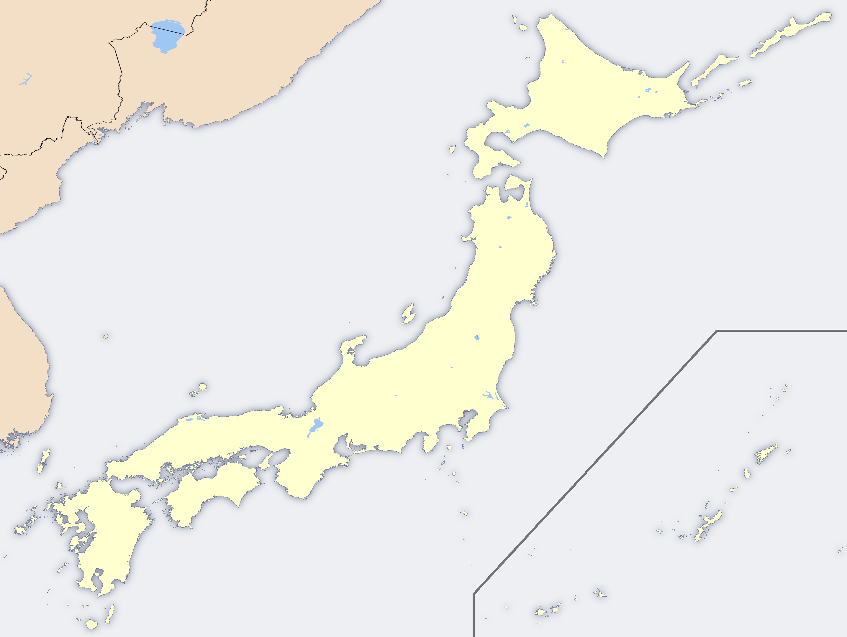
仁木町— Town — Japanese transcription(s) – Hepburn romanization Niki-chō The location of Niki in Shiribeshi Subprefecture. Location of Niki in Japan
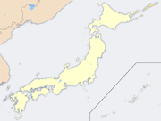
Coordinates: 43°9′N 140°46′E / 43.15°N 140.767°ECoordinates: 43°9′N 140°46′E / 43.15°N 140.767°E Country Japan Prefecture Hokkaidō Subprefecture Shiribeshi District Yoichi Government – Mayor (町長 chōchō) Miura Toshiyuki (三浦敏幸) Area – Total 167.93 km2 (64.8 sq mi) Population (2009-03-31) – Total 3,874 – Density 23.1/km2 (59.7/sq mi) Post code 048-2492 Area code(s) 0135 Website http://www.town.niki.hokkaido.jp Niki (仁木町 Niki-chō) is a town located in Yoichi District, Shiribeshi, Hokkaidō, Japan.
In 2007, the town had an estimated population of 3,943 and a density of 23.55 people per km². The town covers a land area of 167.93 km².[citation needed]
Contents
Geography
The town is located around the middle reach of the Yoichi River. The river assumes the shape of the letter C as it traverses from southeast to north; its upper stream runs east to the town of Akaigawa, while its lower stream flows near the town of Yoichi. The river created terraces in Niki that are 1-2 kilometers wide on the southeastern bank and 4 kilometers wide on the northern bank. Local residents use the river's water for cultivating rice in the upper valley and fruit in the lower valley.
Mountains
Mt. Daikoku (724.8 m), Futatsumori (679.7 m), Mt. Gin (640.5 m), Mt. Chōhaku (460.8 m)
Rivers
Yoichi, Tono, Shikaribetsu, Daikoku, Doboku
History
Indigenous people of the Niki (and Hokkaidō) area are known as the Ainu. About 360 Japanese, led by Niki Takeyoshi, entered in November 1879 from Kawashima in Shikoku, and they founded Niki Village in 1880. Other immigrants from Yamaguchi Prefecture founded Ōe Village in 1883 on the upper reach of the Yoichi River. Ōe is named after Oe no Hiromoto, who was believed as the ancestor of the Mōri clan, the rulers of Yamaguchi.
- Timeline
- 1880: Niki Village was founded.
- 1883: Ōe Village was founded.
- 1899: Akaigawa Village split from Ōe.
- 1902: Niki, Ōe, and Sandō consolidated and became known as Ōe Village under the second town-village system, a special municipality system for Hokkaidō.
- 1915: Ōe became a village under the first town-village system.
- 1964: Ōe Village changed its name and status to Niki Town.
Agriculture
The people of Niki cultivate apples while the farmers of Ōe produce rice. Apple and rice have been the symbols of the annexed Niki for many years, and other fruits like cherry and grape were added in the latter half of the 20th century.
Transport
Niki Station on the Hakodate Main Line is located near the town hall. Japan National Route 5 passes through the center of the town.
References
External links
- Official website in Japanese
Categories:- Towns in Hokkaidō

Wikimedia Foundation. 2010.