- Cerro Gordo, Illinois
-
Cerro Gordo Village Country United States State Illinois County Piatt Elevation 738 ft (224.9 m) Coordinates 39°53′28″N 88°44′0″W / 39.89111°N 88.733333°W Area 0.7 sq mi (1.81 km2) - land 0.7 sq mi (2 km2) - water 0 sq mi (0 km2), 0% Population 1,436 (2000) Density 1,938.0 / sq mi (748.3 / km2) Timezone CST (UTC-6) - summer (DST) CDT (UTC-5) ZIP code 61818 Area code 217 
 Location of Cerro Gordo within Illinois
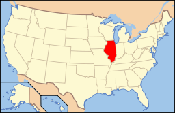 Location of Illinois in the United States
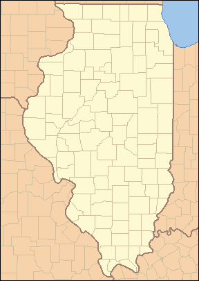
Website: http://www.fathill.com Cerro Gordo is a village in Piatt County, Illinois, United States. The population was 1,436 at the 2000 census, and 1,344 in 2009.
Contents
Geography
Cerro Gordo is located at 39°53′28″N 88°44′0″W / 39.89111°N 88.733333°W (39.891002, -88.733362)[1].
According to the United States Census Bureau, the village has a total area of 0.7 square miles (1.8 km2), all of it land.
History
Cerro Gordo is named after the Battle of Cerro Gordo (1847) in the Mexican-American War. The name translates to English as "Fat Hill"
Demographics
As of the census[2] of 2000, there were 1,436 people, 560 households, and 417 families residing in the village. The population density was 1,938.0 people per square mile (749.2/km²). There were 583 housing units at an average density of 786.8 per square mile (304.2/km²). The racial makeup of the village was 99.65% White, 0.14% African American, 0.07% Asian, and 0.14% from two or more races. Hispanic or Latino of any race were 0.07% of the population.
There were 560 households out of which 37.7% had children under the age of 18 living with them, 59.1% were married couples living together, 11.8% had a female householder with no husband present, and 25.4% were non-families. 22.3% of all households were made up of individuals and 11.6% had someone living alone who was 65 years of age or older. The average household size was 2.56 and the average family size was 3.00.
In the village the population was spread out with 27.8% under the age of 18, 7.8% from 18 to 24, 29.4% from 25 to 44, 20.6% from 45 to 64, and 14.4% who were 65 years of age or older. The median age was 37 years. For every 100 females there were 93.8 males. For every 100 females age 18 and over, there were 90.6 males.
The median income for a household in the village was $40,529, and the median income for a family was $45,250. Males had a median income of $34,408 versus $24,219 for females. The per capita income for the village was $16,635. About 7.4% of families and 7.1% of the population were below the poverty line, including 7.9% of those under age 18 and 8.3% of those age 65 or over.
References
- ^ "US Gazetteer files: 2010, 2000, and 1990". United States Census Bureau. 2011-02-12. http://www.census.gov/geo/www/gazetteer/gazette.html. Retrieved 2011-04-23.
- ^ "American FactFinder". United States Census Bureau. http://factfinder.census.gov. Retrieved 2008-01-31.
External links
Municipalities and communities of Piatt County, Illinois City 
Villages Townships Bement | Blue Ridge | Cerro Gordo | Goose Creek | Monticello | Sangamon | Unity | Willow Branch
Unincorporated
communitiesGalesville | La Place | Lodge | Milmine | Pierson | White Heath
Footnotes ‡This populated place also has portions in an adjacent county or counties
Categories:- Populated places in Piatt County, Illinois
- Villages in Illinois

Wikimedia Foundation. 2010.