- Denvilles
-
Coordinates: 50°51′18″N 0°57′54″W / 50.855°N 0.965°W
Denvilles 
 Denvilles
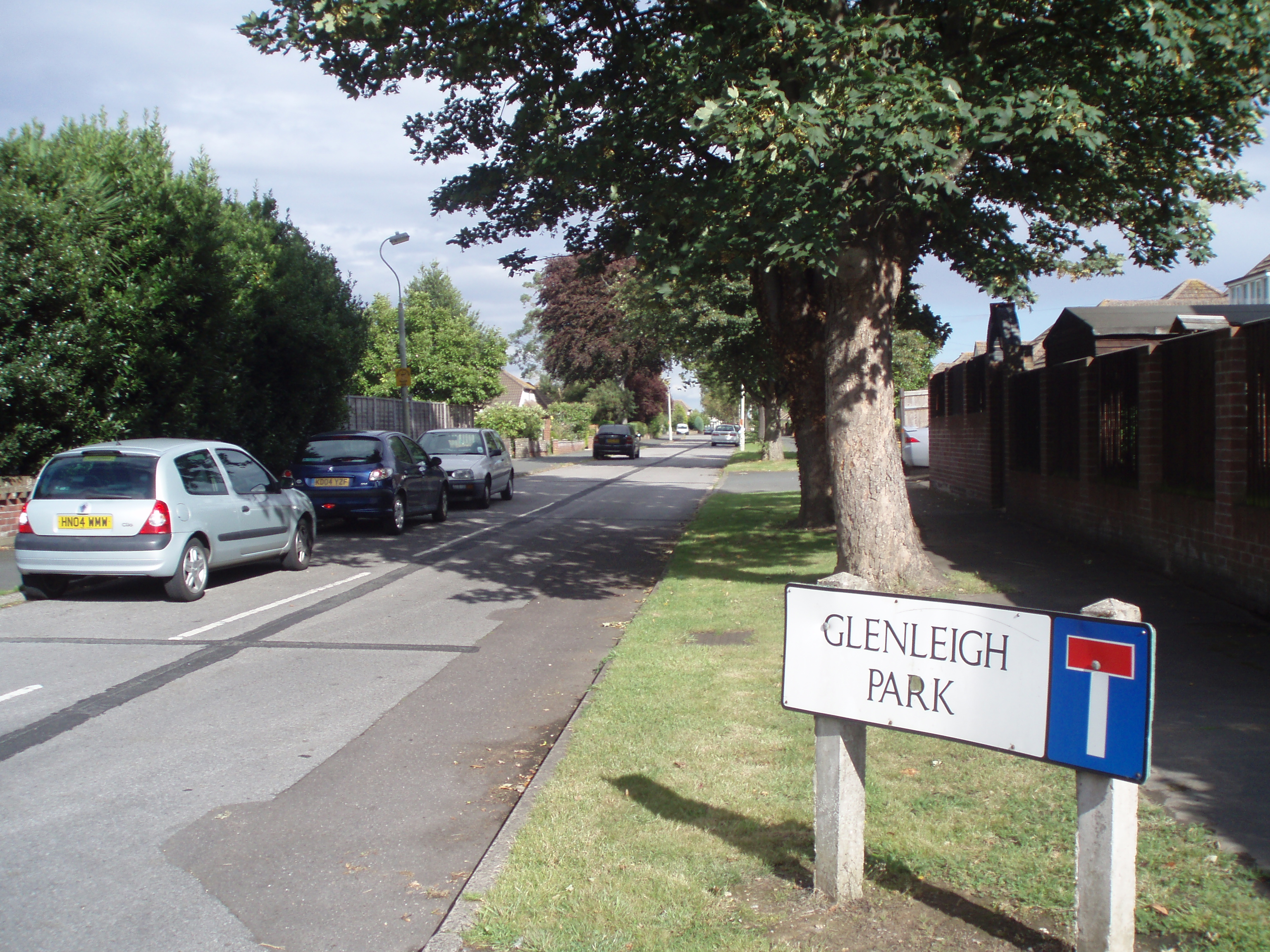
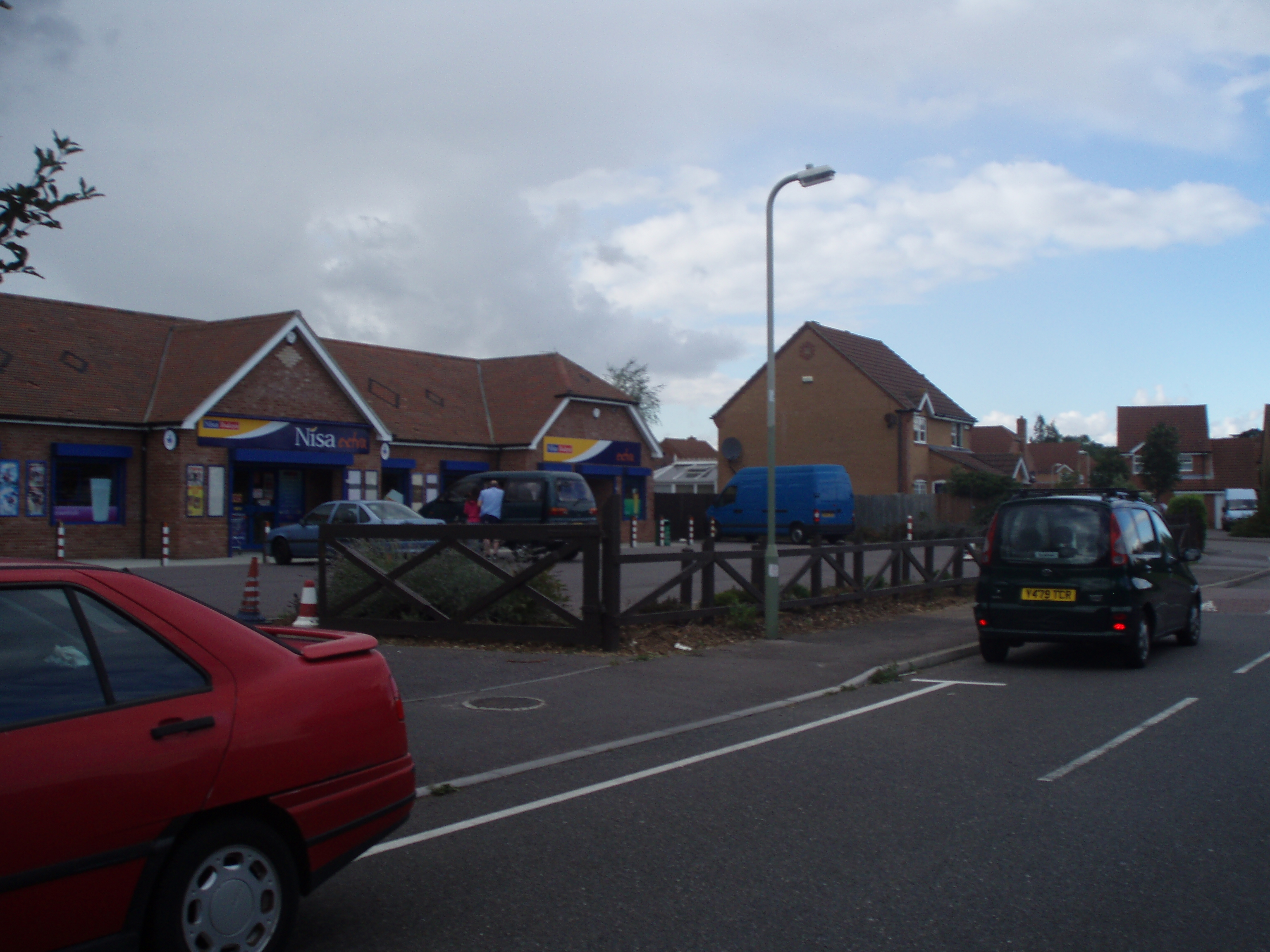
Denvilles shown within HampshireOS grid reference SU725065 District Havant Shire county Hampshire Region South East Country England Sovereign state United Kingdom Post town HAVANT Postcode district PO9 Dialling code 023 Police Hampshire Fire Hampshire Ambulance South Central EU Parliament South East England UK Parliament Havant List of places: UK • England • Hampshire Denvilles is a locality within Havant to the north of Warblington railway station[1]. In 1877 it consisted of a solitary farm[2] but by 1897 there were several roads of detached residencies[3]. Slowly the area grew and in the 1960s it doubled in size as smaller housing estates for private ownership were built[4]. The area has a small convenience store but the adjoining satellite health centre moved in July to centralised premises elsewhere[5]. Despite this the Borough Council[6] designates the area UA2 (not a priority for extra investment[7]).
References
- ^ Which was originally to have been called Denvilles Halt, but the London, Brighton and South Coast Railway felt this would confuse passengers with another station a short way away created during The Battle of Havant Buriton Heritage Bank Information Sheet No 9, DJ August 2001
- ^ Havant Museum Map Collection Map 23A
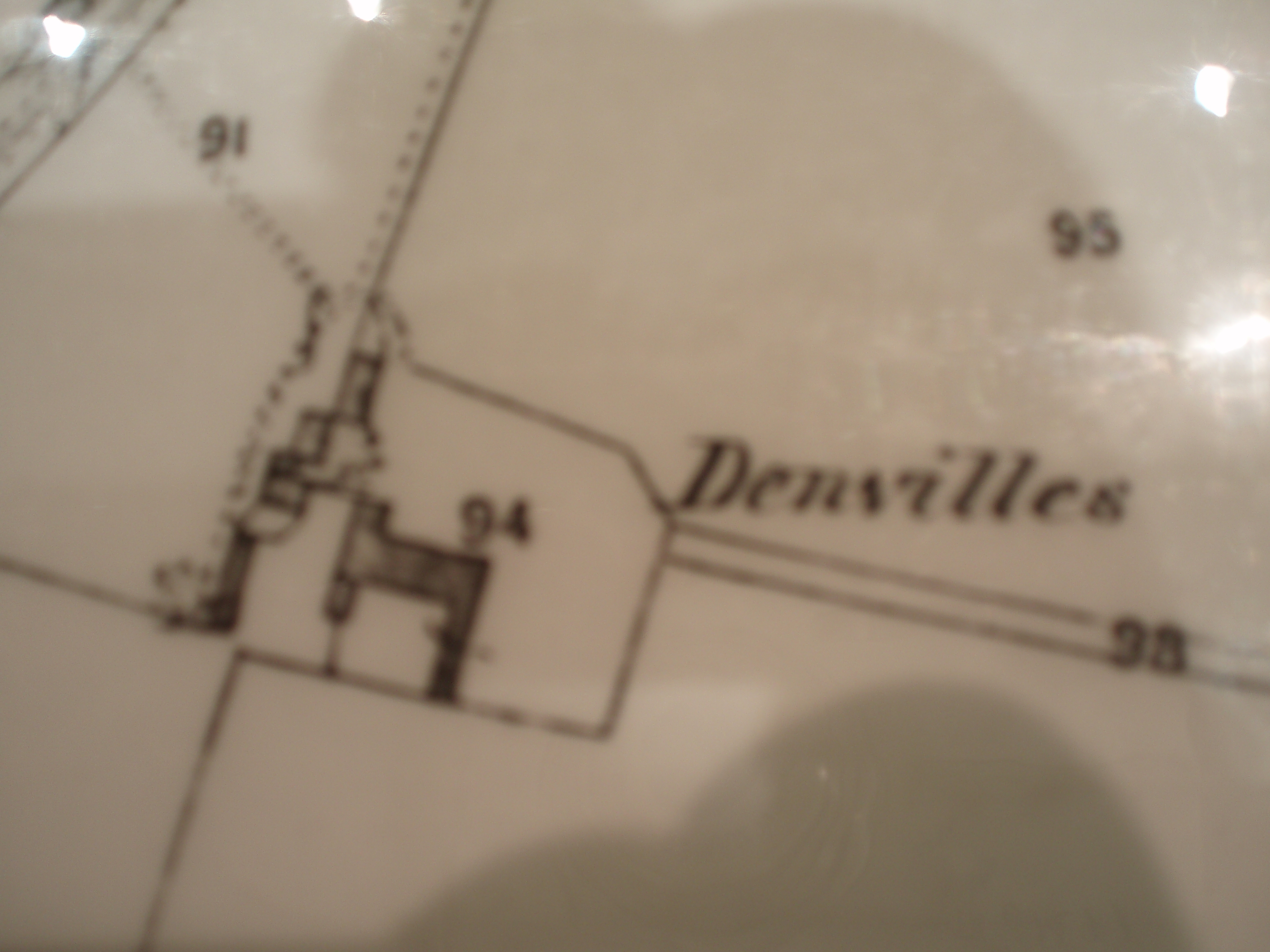
- ^ HMMC 23C
- ^ Residents Association
- ^ Concerns of Denvilles residents
- ^ Area administrators
- ^ Havant Borough Council District-wide Local Plan ISBN X200039842 (Hampshire Public Libraries ref:R711.409422795)
-

Site of original farm
-
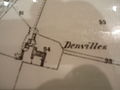
Shown on 1877 OS map
-
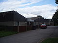
Christ Church Centre
-

Modern centre
Categories:- Havant
- Hampshire geography stubs


Wikimedia Foundation. 2010.