- Witbank
Infobox Settlement
official_name = Witbank
native_name =
nickname =
settlement_type =
motto =
imagesize =
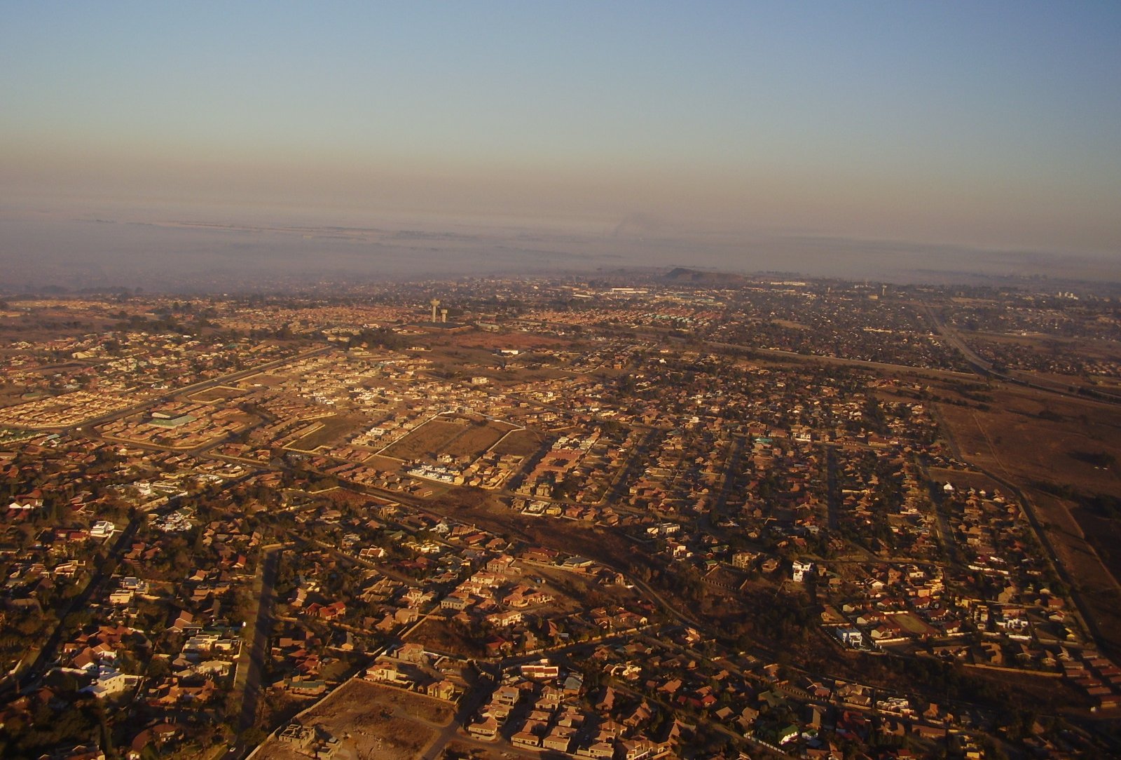
image_caption = Aerial view over the suburbs
flag_size =
image_
seal_size =
image_shield =
shield_size =
city_logo =
citylogo_size =
mapsize =
map_caption =
mapsize1 =
map_caption1 =
image_dot_
dot_mapsize =
dot_map_caption =
dot_x = |dot_y =
pushpin_
pushpin_label_position =
pushpin_map_caption =
pushpin_mapsize =
subdivision_type = Country
subdivision_name =South Africa
subdivision_type1 = Province
subdivision_name1 =Mpumalanga
subdivision_type2 = District Municipality
subdivision_name2 = Nkangala
subdivision_type3 = Local Municipality
subdivision_name3 = Emalahleni
subdivision_type4 =
subdivision_name4 =
government_footnotes =
government_type =
leader_title =
leader_name =
leader_title1 =
leader_name1 =
leader_title2 =
leader_name2 =
leader_title3 =
leader_name3 =
leader_title4 =
leader_name4 =
established_title =
established_date =
established_title2 =
established_date2 =
established_title3 =
established_date3 =
area_magnitude =
unit_pref =
area_footnotes =
area_total_km2 =
area_land_km2 =
area_water_km2 =
area_total_sq_mi =
area_land_sq_mi =
area_water_sq_mi =
area_water_percent =
area_urban_km2 =
area_urban_sq_mi =
area_metro_km2 =
area_metro_sq_mi =
population_as_of =
population_footnotes =
population_note =
population_total =
population_density_km2 =
population_density_sq_mi =
population_metro =
population_density_metro_km2 =
population_density_metro_sq_mi =
population_urban =
population_density_urban_km2 =
population_density_urban_sq_mi =
population_blank1_title =
population_blank1 =
population_density_blank1_km2 =
population_density_blank1_sq_mi =
timezone = SAST
utc_offset = +2
timezone_DST =
utc_offset_DST =
latd=-25.876579 |latm= |lats= |latNS=
longd=29.200974 |longm= |longs= |longEW=
elevation_footnotes =
elevation_m =
elevation_ft =
postal_code_type =
postal_code =
area_code =
blank_name =
blank_info =
blank1_name =
blank1_info =
website =
footnotes =Witbank is situated on the
highveld ofMpumalanga ,South Africa , within the Emalahleni Local Municipality. [cite web |url=http://www.emalahleni.gov.za/faq.html |title=Emalahleni FAQ |accessdate=2008-07-04 |author= |last= |first= |authorlink= |coauthors= |date= |format= |work= |publisher= |pages= |language= |doi= |archiveurl= |archivedate= |quote= ] The name Witbank isAfrikaans for "White Ridge" and is named after a whitesandstone outcrop wherewagon transport drivers rested. In March 2006, the town was renamed Emalahleni, the Nguni word for "the place of coal". eMalahleni is in thecoal mining area with 22 collieries in an area no more than 40 km in any direction. There are a number of power stations (such as theDuvha Power Station ), as well as asteel mill ,Highveld Steel and Vanadium Corporation , nearby which all require coal.Witbank was established in 1890 and early attempts to exploit the coal deposits failed until the
railway fromPretoria reached the area in 1894. It was proclaimed a town in 1903 and became amunicipality in 1914 .In the 1994 AWB invasion of Bophuthatswana Witbank was one of the right- wing strongholds where AWB commandos were called in from.Fact|date=May 2007
Trivia
*
Winston Churchill , then a young soldier-journalist, hid in a colliery near Witbank after his escape from Pretoria during theSecond Boer War .*Witbank Dam is the biggest municipal dam in the southern hemisphere.
References
ee also
External links
Wikimedia Foundation. 2010.
