- Nuevo Laredo Municipality
-
For other uses, see City of Nuevo Laredo.
Nuevo Laredo Municipality
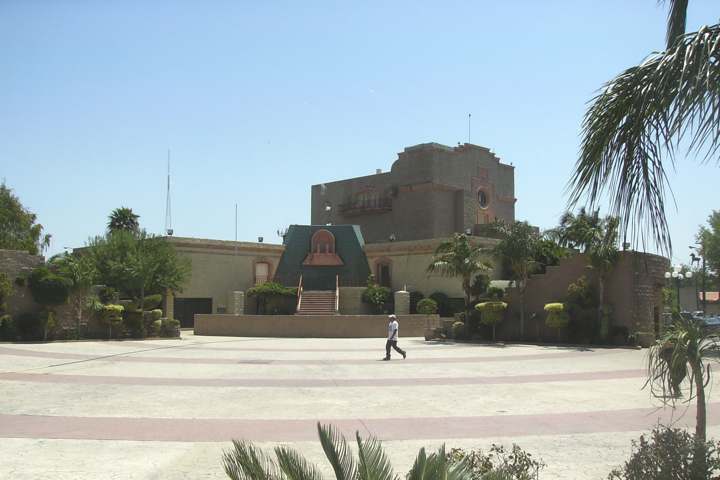
Municipio de Nuevo Laredo— Municipality — Municipality Administration Building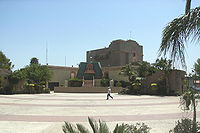
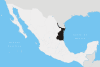
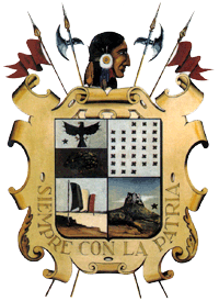
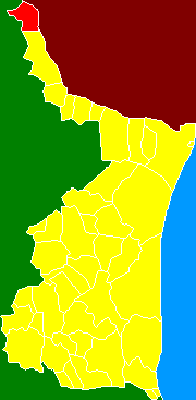
Coat of armsMotto: Siempre Con La Patria Location of the Municipality of Nuevo Laredo in Tamaulipas
Settled 1847 Government – Presidente Municipal Ramón Garza Barrios Area – Municipality 1,334.02 km2 (515.07 sq mi) Population (2010 census) – Municipality 384,033 – Metro 636,516 Time zone CST (UTC-6) – Summer (DST) CST (UTC-5) Codigo Postal 88000 Area code(s) 876 Website Municipio de Nuevo Laredo Airport: Quetzalcoatl International Airport MMNL The Municipality of Nuevo Laredo is located in the Mexican state of Tamaulipas. Its municipal seat is Nuevo Laredo. The municipality contains more than 60 localities which the most important ones are Nuevo Laredo, El Campanario y Oradel, and Álvarez, the last two being suburbs of the city of Nuevo Laredo. By population, the municipality is the third largest in the state of Tamaulipas (behind Reynosa and Matamoros). The Nuevo Laredo municipality is the northernmost in Tamaulipas, lying at the extreme northwestern tip of its narrow strip of land along the Río Grande. The city of Nuevo Laredo contains approximately 97.5% of the total population of the municipality.
Contents
Towns and villages
The largest localities (cities, towns, and villages) are:[1]
Name 2010 Census Population Nuevo Laredo 373,725 El Campanario y Oradel 6,951 Bruno Álvarez Valdez 1,714 Nuevo Progreso (El Progreso) 432 América 255 América 197 La Cruz 159 Miguel Alemán 114 other 486 Total Municipality 384,033 Populated places
- Nuevo Laredo: 373,725
- El Campanario y Oradel: 4,538
- Álvarez: 1,257
- Nuevo Progreso: 393
- América: 263
- América II: 253
- Los Artistas: 175
- Miguel Alemán: 165
- La Cruz: 100
- Morelos: 77
- El Bayito: 30
- La Esperanza: 23
- San Francisco: 18
- Santo Domingo: 13
- El Llano: 10
- El Veintidós: 9
- Chore: 8
- Los Ciruelos: 7
- El Francés: 6
- El Michoacano: 6
- San Fernando: 6
- Santa Emilia: 6
- El Charro: 5
- La Pendencia: 5
- Los Toritos: 5
- San Isidro: 5
- Grúas Mora: 4
- La Rosita: 4
- Los Tres Potrillos: 4
- Dos Herraduras: 3
- La Cruz: 3
- Las Malvinas: 3
- Los Garza: 3
- Los Ramos: 3
- Palo Blanco: 3
- Ampliación Miguel Alemán: 2
- Candelaria: 2
- Don Lupe: 2
- Dos Pollos Solos: 2
- El Ebanito: 2
- Cuarentenaria: 2
- Francisco Villa: 2
- La Herradura: 2
- La Maceta: 2
- Los Papalotes: 2
- Palo Blanco: 2
- Rogelio Cárdenas: 2
- Buenavista: 1
- Casa Blanca: 1
- Club Cinegético: 1
- El Chaparral: 1
- El Estero: 1
- El Perro: 1
- El Refugio: 1
- La Copa: 1
- Lazaderos: 1
- Lopeño: 1
- Los Ramírez: 1
- San Agustín: 1
- San Antonio: 1
- San Vicente: 1
- Santa Anita: 1
- Unión: 1
- Localities with one house: 121
- Localities with two houses: 26
Total municipal population: 355,827[2]
Adjacent counties and municipios
- Anáhuac, Nuevo León, Mexico (north / west)
- Webb County, Texas (east)
- Guerrero, Tamaulipas, Mexico (south)
See also
References
 State of Tamaulipas
Major cities Altamira · Ciudad Madero · Ciudad Mante · Ciudad Victoria · Matamoros · Miramar · Nuevo Laredo · Reynosa · Río Bravo · Tampico · Valle Hermoso
Municipalities Abasolo · Aldama · Altamira · Antiguo Morelos · Burgos · Bustamante · Camargo · Casas · Ciudad Madero · Cruillas · Gómez Farías · González · Güemez · Guerrero · Gustavo Díaz Ordaz · Hidalgo · Juamave · Jiménez · Llera · Mainero · El Mante · Matamoros · Méndez · Mier · Miguel Alemán · Miquihuana · Nuevo Laredo · Nuevo Morelos · Ocampo · Padilla · Palmillas · Reynosa · Río Bravo · San Carlos · San Fernando · San Nicolás · Soto la Marina · Tampico · Tula · Valle Hermoso · Victoria · Villagrán · Xicoténcatl
Municipality of Nuevo Laredo Municipality seat Nuevo Laredo

Populated Places El Campanario y Oradel · Álvarez · Nuevo Progreso · América · América II · Los Artistas · Miguel Alemán · La Cruz · Morelos · El Bayito
Rural Villages La Esperanza · San Francisco · Santo Domingo · El Llano · El Veintidós · Chore · Los Ciruelos · El Francés · El Michoacano · San Fernando · Santa Emilia · El Charro · La Pendencia · Los Toritos · San Isidro · Grúas Mora · La Rosita · Los Tres Potrillos · Dos Herraduras · La Cruz · Las Malvinas · Los Garza · Los Ramos · Palo Blanco · Ampliación Miguel Alemán · Candelaria · Don Lupe · Dos Pollos Solos · El Ebanito · Cuarentenaria · Francisco Villa · La Herradura · La Maceta · Los Papalotes · Palo Blanco · Rogelio Cárdenas · Buenavista · Casa Blanca · Club Cinegético · El Chaparral · El Estero · El Perro · El Refugio · La Copa · Lazaderos · Lopeño · Los Ramírez · San Agustín · San Antonio · San Vicente · Santa Anita · Union
Categories:- Municipalities of Tamaulipas
- Mexico–United States border crossings

Wikimedia Foundation. 2010.