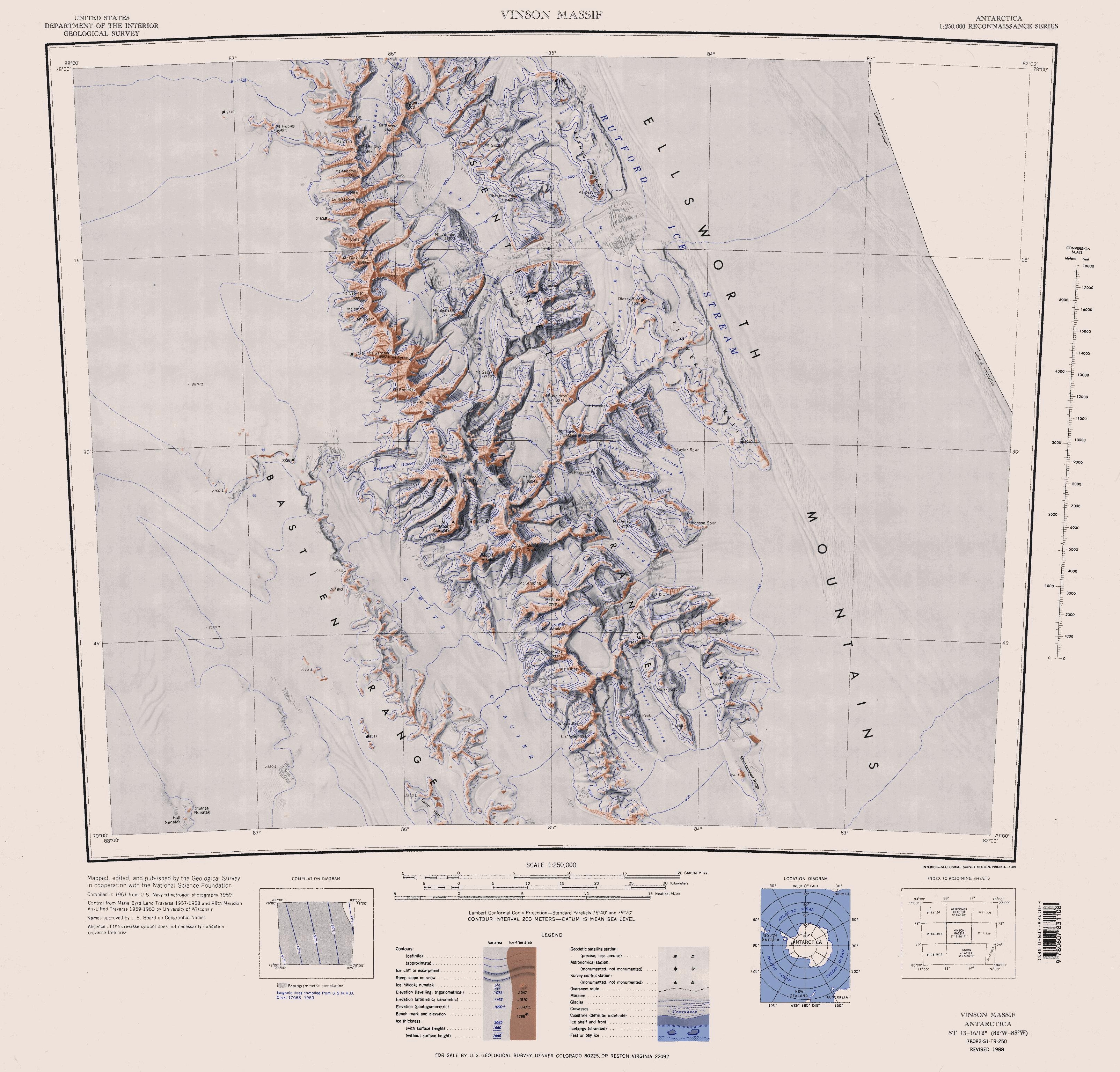
- Nimitz Glacier
-
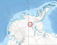 Location of Sentinel Range in Western Antarctica.
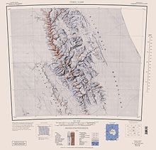 Sentinel Range map
The Nimitz Glacier is an Antarctic glacier, 64 km (40 mi) long and 8 km (5 mi) wide, draining the area about 16 km (10 mi) west of the Vinson Massif and flowing southeast between the Sentinel Range and Bastien Range to enter Minnesota Glacier, in the central Ellsworth Mountains.
Discovered by USN Squadron VX-6 on photographic flights of December 14-December 15, 1959, and mapped by United States Geological Survey from these photos. Named by US-ACAN for Fleet Admiral Chester Nimitz, USN, who as Chief of Naval Operations at the time of Operation Highjump, 1947-1948, made possible that unprecedentedly large and complex Antarctic expedition.
See also
- List of glaciers in the Antarctic
 This article incorporates public domain material from the United States Geological Survey document "Nimitz Glacier" (content from the Geographic Names Information System). Coordinates: 78°55′S 85°10′W / 78.917°S 85.167°W
This Ellsworth Land location article is a stub. You can help Wikipedia by expanding it.