- Chipata
-
Chipata 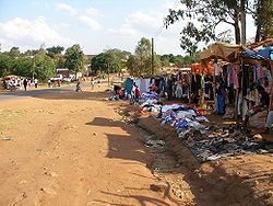 Location in Zambia
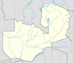
 Chipata
Coordinates: 13°39′S 32°38′E / 13.65°S 32.633°E Country  Zambia
Admin. division Eastern Province Elevation 3,740 ft (1,140 m) Population (2000) - Total 98,416 Chipata, population 98,416, is the capital of the Eastern Province of Zambia. The two languages spoken are Nyanja and English, though you might find some Indian languages, as there is a large number of Zambian Indians located in the town. Formerly known as Fort Jameson, the city is located near the border with Malawi, along the road connecting the capitals Lilongwe (130 km) and Lusaka (550 km). The city is a popular access point for the South Luangwa National Park.
The city lies at the end of the Great East Road and near the border with Malawi, The market town has a "welcome" arch, a mosque , a golf course and an airstrip
Contents
Transport
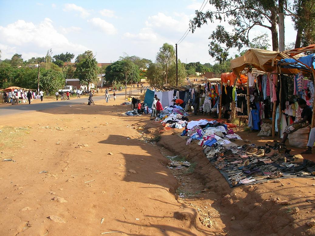
 Saturday Market in Chipata
Chipata will act as the Zambian railhead and entry point for a rail link finally being completed from Mchinji in Malawi. In the pipeline since 1982, the short link (about 35 km) will provide a through-route for rail traffic from Zambia via Malawi to the Indian Ocean deepwater port at Nacala in Mozambique.[1] The route and alignment of the line has been laid out, including the site of Chipata station and the basic station building.[2] The route will provide an alternative to two existing rail routes to the Indian Ocean, at Dar es Salaam and Beira.[3]
See also
References
- ^ "New rail link to boost Southern African trade." Mail & Guardian.
- ^ Google Earth has high resolution photos of the station at lat. -13.671, long. 32.642.
- ^ http://www.rra.co.za/media.cgi?id=7186&action=easyprint
External links
Coordinates: 13°39′00″S 32°38′00″E / 13.65°S 32.6333333°E
Categories:- Eastern Province, Zambia
- Provincial capitals in Zambia
- Populated places in Zambia
- Zambia geography stubs


Wikimedia Foundation. 2010.