- Alatna, Alaska
Infobox Settlement
official_name = Alatna, Alaska
settlement_type = CDP
nickname =
motto =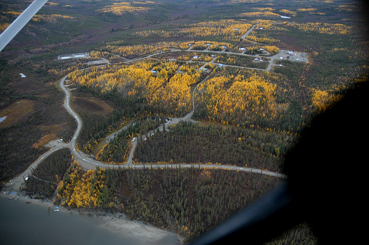
imagesize =
image_caption =
image_
map_caption = Location of Alatna, Alaska
mapsize = 250x200px
mapsize1 =
map_caption1 =subdivision_type = Country
subdivision_name =United States
subdivision_type1 = State
subdivision_name1 =Alaska
subdivision_type2 = Census Area
subdivision_name2 = Yukon-Koyukuk
government_footnotes =
government_type =
leader_title =
leader_name =
leader_title1 =
leader_name1 =
established_title =
established_date =area_magnitude =
area_footnotes =
area_total_km2 = 94.4
area_land_km2 = 94.4
area_water_km2 = 0
area_total_sq_mi = 36.5
area_land_sq_mi = 36.5
area_water_sq_mi = 0population_as_of = 2000
population_footnotes =
population_total = 35timezone = Alaska (AKST)
utc_offset = -9
timezone_DST = AKDT
utc_offset_DST = -8
elevation_footnotes =
elevation_m =
elevation_ft =
latd = 66 |latm = 32 |lats = 56 |latNS = N
longd = 152 |longm = 50 |longs = 41 |longEW = Wpostal_code_type =
postal_code =
area_code = 907
blank_name = FIPS code
blank_info = 02-01305
blank1_name =
blank1_info =
website =
footnotes =Alatna (pronEng|əˈlætnə) is a
census-designated place (CDP) in the Yukon-Koyukuk Census Area of theUnorganized Borough in theU.S. state ofAlaska . The population was 35 at the 2000 census.Geography and climate
Alatna is located at coor dms|66|34|01|N|152|39|59|W|type:city_region:US (66.548906, -152.844806)GR|1 (Sec. 33, T021N, R024W, Fairbanks Meridian)fact|date=September 2008 in the Fairbanks Recording District.
Alatna is on the north bank of the
Koyukuk River , southwest of its junction with theAlatna River , approximately 190 air miles northwest of Fairbanks and 57 miles upriver from Hughes. Alatna lies just west of the municipal boundaries of the City of Allakaket.The area experiences a cold, continental climate with extreme temperature differences. The average high temperature during July is 70°F (21°C). The average low during January is well below 0°F (-18°C), and extended periods of -40°F/C are common. The highest temperature ever recorded was 94°F (34°C); the lowest, -75°F (-59°C). Average annual precipitation is 13 inches (33 cm) and average annual snowfall is 72 inches (183 cm). The Koyukuk River is ice-free from June through October.
According to the
United States Census Bureau , the CDP has a total area of 36.5square mile s (94.4km² ), all of it land.History and culture
Several
Alaska Native groups have lived in the area, including KoyukonAthabascan s and Kobuk, Selawik, and NunamiutEskimo s from the north and northwest. The Koyukon lived in several camps throughout the year, moving as the seasons changed, following the wild game and fish. The various bands established joint settlements after 1851. The old site of Alatna was a traditional trading center for Athabascans and Eskimos. The first mission on the Koyukuk River, St. John's-in-the-Wilderness Episcopal Mission, was established in 1906. A post office was opened in 1925. In 1938, the name of the community was changed to Allakaket (the old name for the mission), and the name Alatna was assumed by the small Eskimo community across the river. The first public school was established in 1957. A flood caused by ice jamming inundated 85% of the community in the Spring of 1964. In 1975, the community incorporated as a City, including both settlements of Allakaket and Alatna. A clinic and airport were built in 1978. A new school and community roads were built in 1979. In September 1994, flood waters destroyed and swept away nearly all of the community's buildings, homes, and food caches for the winter. Residents have rebuilt near the old City site, but Alatna is no longer within the incorporated City boundaries.A federally-recognized tribe is in the community -- the Alatna Village. The population of the community consists of 97.1% Alaska Native or part Native. The Alatna population consists largely of descendants of Kobuk Eskimos; Athabascans predominantly live in Allakaket. Subsistence activities are prevalent.
Demographics
As of the
census GR|2 of 2000, there were 35 people, 12 households, and 6 families residing in the CDP. Thepopulation density was 1.0 people per square mile (0.4/km²). There were 17 housing units at an average density of 0.5/sq mi (0.2/km²). The racial makeup of the CDP was 2.86% White, 94.29% Native American, and 2.86% from two or more races.There were 12 households out of which 50.0% had children under the age of 18 living with them, 16.7% were married couples living together, 25.0% had a female householder with no husband present, and 41.7% were non-families. 25.0% of all households were made up of individuals and none had someone living alone who was 65 years of age or older. The average household size was 2.92 and the average family size was 3.43.
In the CDP the population was spread out with 37.1% under the age of 18, 11.4% from 18 to 24, 25.7% from 25 to 44, 25.7% from 45 to 64. The median age was 26 years. For every 100 females there were 84.2 males. For every 100 females age 18 and over, there were 100.0 males.
The median income for a household in the CDP was $20,313, and the median income for a family was $52,500. Males had a median income of $22,500 versus $16,250 for females. The
per capita income for the CDP was $14,109. There were no families and 9.1% of the population living below thepoverty line , including no under eighteens and none of those over 64.Public services
Alatna residents haul water and use honeybuckets or outhouses. None of the 12 occupied homes have plumbing. Major improvements are underway. A new water source, water treatment plant, washeteria and sewage lagoon have been built. There is an electrical intertie with Allakaket. Residents use the Allakaket clinic, washeteria, landfill and school. Electricity is provided by Alaska Power & Telephone. There are no state operated schools in the community. Local hospitals or health clinics include Alatna Clinic (907-968-2314). Alatna Clinic is a Primary Health Care facility.
Economy and transportation
The economy is seasonal and subsistence-based. Salmon, whitefish, moose, bear, small game and berries provide most food sources. Caribou are taken when available. A few earn income from trapping or traditional Native handicrafts. Construction and BLM emergency firefighting also provide summer jobs.
Alatna has no road link, but winter trails connect it with Hughes, Bettles and Tanana. River transportation is important during the summer. A state-owned 3,500' lighted runway is accessible year-round in Allakaket. There is no barge service due to shallow water.
References
External links
[http://www.Alatna.com] Alatna Incorporated, Portland Oregon, Engineering and industrial controls
Wikimedia Foundation. 2010.