- Hyder, Alaska
Infobox Settlement
official_name = Hyder, Alaska
settlement_type = CDP
nickname =
motto =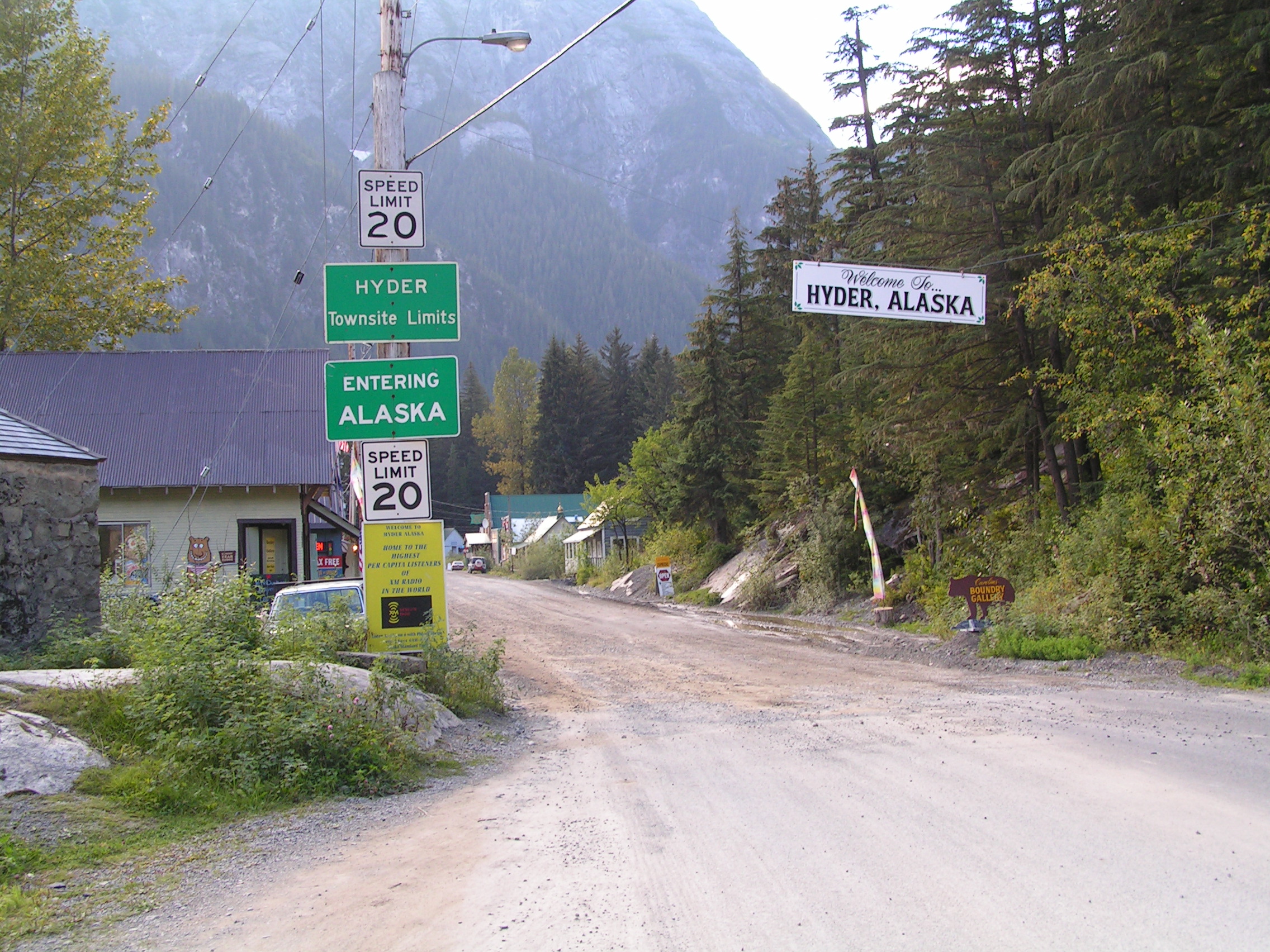
image_caption = The border betweenStewart, British Columbia and Hyder, as seen from the Canadian side.
imagesize = 250px
image_
mapsize = 250px
map_caption = Location of Hyder, Alaska.
mapsize1 =
map_caption1 =
pushpin_
pushpin_label_position = left
pushpin_mapsize = 300
pushpin_map_caption =subdivision_type = Country
subdivision_name =United States
subdivision_type1 = State
subdivision_name1 =Alaska
subdivision_type2 =
subdivision_name2 =
government_footnotes =
government_type =
leader_title =
leader_name =
leader_title1 =
leader_name1 =
established_title =
established_date =area_footnotes =
area_magnitude =
area_total_km2 = 38.4
area_land_km2 = 38.4
area_water_km2 = 0.0
area_total_sq_mi = 14.8
area_land_sq_mi = 14.8
area_water_sq_mi = 0.0population_as_of = 2000
population_footnotes =
population_total = 97
population_density_km2 = 2.5
population_density_sq_mi = 6.5timezone = Alaska (AKST)
utc_offset = -9
timezone_DST = AKDT
utc_offset_DST = -8
elevation_footnotes =
elevation_m = 36
elevation_ft = 118
latd = 55 |latm = 56 |lats = 29 |latNS = N
longd = 130 |longm = 3 |longs = 16 |longEW = Wpostal_code_type =
postal_code =
area_code = 250
blank_name = FIPS code
blank_info = 02-34570
blank1_name = GNIS feature ID
blank1_info = [Gnis3|1422711 1422711]
website =
footnotes =Hyder is a
census-designated place (CDP) in Prince of Wales-Outer Ketchikan Census Area,Alaska ,United States . At the 2000 census the population was 97.Geography
Hyder is located at coor dms|55|56|29|N|130|3|16|W|city (55.941442, -130.054504)GR|1.
Hyder is located at the head of the Portland Canal, a 115 km (70 mile) long fjord which forms a portion of the border between the United States and Canada at the southeastern edge of the
Alaska Panhandle . Hyder is 3 km (2 miles) fromStewart, British Columbia and 120 km (75 miles) from Ketchikan by air.According to the
United States Census Bureau , the CDP has a total area of 14.8square mile s (38.4km² ), all of it land.Demographics
As of the
census GR|2 of 2000, there were 97 people, 47 households, and 25 families residing in the CDP. Thepopulation density was 6.5 people per square mile (2.5/km²). There were 72 housing units at an average density of 4.9/sq mi (1.9/km²). The racial makeup of the CDP was 95.88% White, and 4.12% from two or more races. Hispanic or Latino of any race were 1.03% of the population.There were 47 households out of which 19.1% had children under the age of 18 living with them, 51.1% were married couples living together, 2.1% had a female householder with no husband present, and 44.7% were non-families. 40.4% of all households were made up of individuals and 6.4% had someone living alone who was 65 years of age or older. The average household size was 2.06 and the average family size was 2.81.
In the CDP the population was spread out with 18.6% under the age of 18, 11.3% from 18 to 24, 16.5% from 25 to 44, 46.4% from 45 to 64, and 7.2% who were 65 years of age or older. The median age was 46 years. For every 100 females there were 125.6 males. For every 100 females age 18 and over, there were 132.4 males.
The median income for a household in the CDP was $11,719, and the median income for a family was $30,500. Males had a median income of $56,250 versus $13,750 for females. The
per capita income for the CDP was $11,491. There were 44.4% of families and 54.1% of the population living below thepoverty line , including 81.0% of under eighteens and 50.0% of those over 64.History
(see
Alaska boundary dispute )The
Nisga'a , who lived around theNass River , called the head of Portland Canal "Skam-A-Kounst," meaning "safe place", probably because it served them as a retreat from the harassment of theHaida s on the coast. They travelled in the area seasonally to pick berries and hunt birds.The area around the Portland Canal was explored in 1896 by Captain D.D. Gaillard of the United States Army Corps of Engineers.
In 1898, gold and silver lodes were discovered in the region, mainly on the Canadian side in the upper
Salmon River basin. The Stewart brothers, for whom the British Columbia town was named, arrived in 1902.Hyder was originally called Portland City, after the canal. In 1914, when the United States Postal Service told residents that there were too many cities named Portland in the United States, it was renamed after Frederick Hyder, a Canadian mining engineer who envisioned a bright future for the area. Hyder was the only practical point of access to the silver mines in Canada, and the community became the port, supply point, and post office for miners by 1917. Hyder's boom years occurred between 1920 and 1930, when the Riverside Mine on United States side extracted gold, silver, copper, lead, zinc, and tungsten. The mine operated from 1924 until 1950.
In 1948 the old abandoned part of Hyder, which was built on pilings, was destroyed by fire. By 1956 all major mining had closed except for the Granduc Copper Mine on the Canadian side, which operated until 1984. Westmin Resources Ltd. currently operates the only remaining mine in the area, a gold and silver mine on the Canadian side.
Hyder is accessible by highway from
Stewart, British Columbia , which connects with the British Columbia highway system. Hyder became popular with long distance motorcycle riders in 1998 when author Ron Ayres set a record of riding to the contiguous 48 states in six days. Ayres went on to add to the 48 state record by continuing on to Hyder, Alaska to establish a new 49-state record of 7 days, 0 hours and 20 minutes. Ayres named the new long distance ride the "48 Plus" and the 49-state ride has become very popular with members of the long distance motorcycle ridingIron Butt Association .Hyder is also the location of the annual "Hyder-Seek" gathering of long-distance motorcyclists who travel from all over North America each Memorial Day weekend.
Hyder have some notoriety as the place where people become "Hyderized." Two of the town's bars issue certifications to patrons of being "Hyderized" if the patron consumes a shot of 150 proof (75% alcohol) Everclear.
References
External links
* [http://www.stewart-hyder.com/hyder.html Community Information for Hyder Alaska]
* [http://www.fs.fed.us/r10/ro/naturewatch/southeast/fish_creek/fishcreek.htm Fish Creek Wildlife Observation Site]

Wikimedia Foundation. 2010.