- St. George, Alaska
Infobox Settlement
official_name = St. George, Alaska
settlement_type =City
nickname =
motto =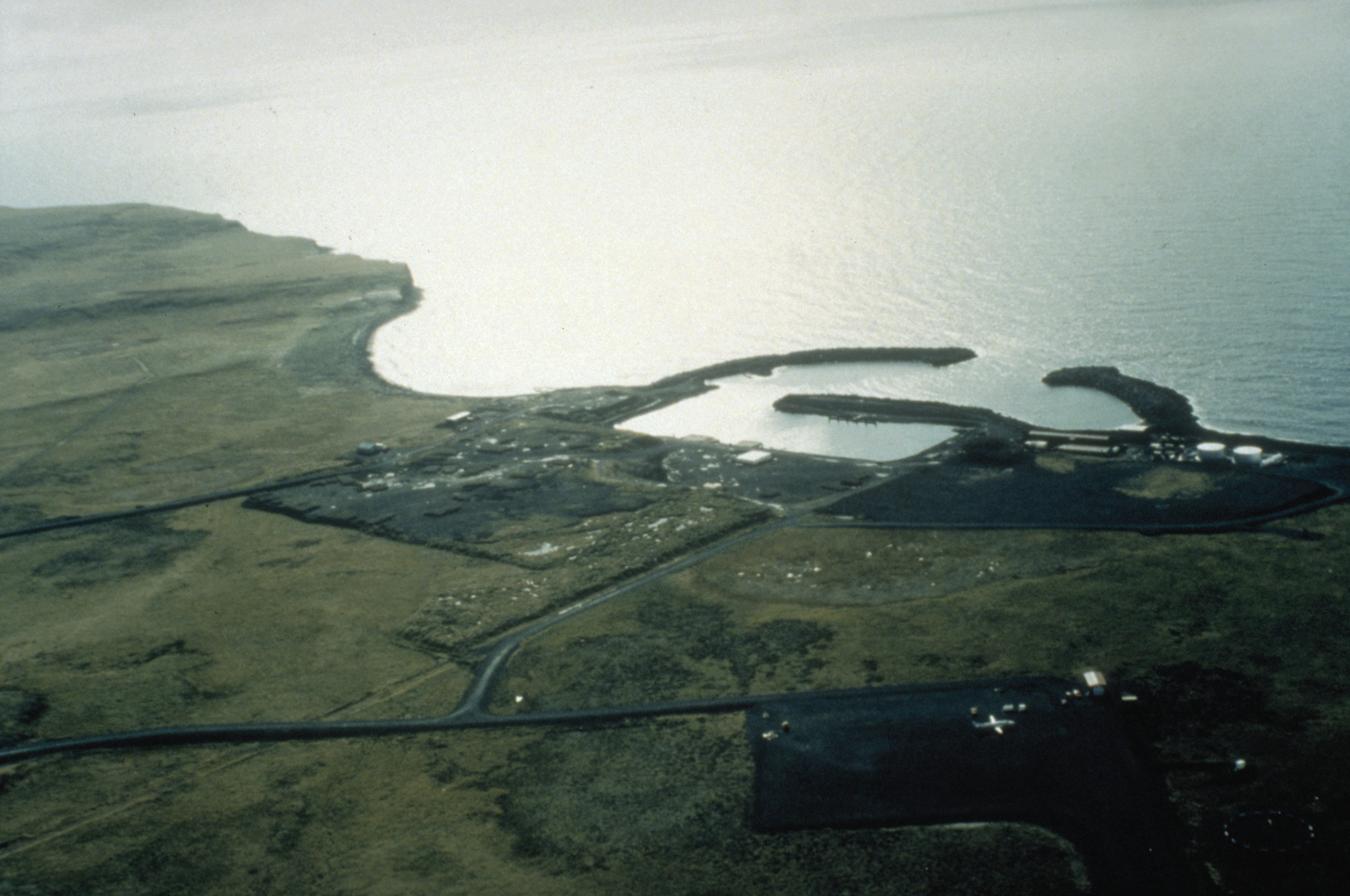
image_caption = Aerial view of St. George
imagesize = 250px
image_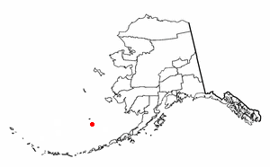
mapsize = 250px
map_caption = Location of St. George, Alaska
mapsize1 =
map_caption1 =subdivision_type = Country
subdivision_name =United States
subdivision_type1 = State
subdivision_name1 =Alaska
subdivision_type2 = Census Area
subdivision_name2 = Aleutians West
government_footnotes =
government_type =
leader_title =
leader_name =
leader_title1 =
leader_name1 =
established_title =
established_date =area_footnotes =
area_magnitude =
area_total_km2 = 472.3
area_land_km2 = 90.0
area_water_km2 = 382.3
area_total_sq_mi = 182.4
area_land_sq_mi = 34.8
area_water_sq_mi = 147.6population_as_of = 2007
population_footnotes =cite web|url=http://www.census.gov/popest/cities/tables/SUB-EST2007-04-02.csv|title=Annual Estimates of the Population for Incorporated Places in Alaska|publisher=United States Census Bureau |date=2008-07-10|accessdate=2008-07-14]
population_total = 125
population_density_km2 = 1.7
population_density_sq_mi = 4.4timezone = Alaska (AKST)
utc_offset = -9
timezone_DST = AKDT
utc_offset_DST = -8
elevation_footnotes =
elevation_m = 60
elevation_ft = 197
latd = 56 |latm = 36 |lats = 20 |latNS = N
longd = 169 |longm = 33 |longs = 35 |longEW = Wpostal_code_type =
postal_code =
area_code = 907
GNIS_id = 1419161
blank_name = FIPS code
blank_info = 02-65800
blank1_name =
blank1_info =
website =
footnotes =St. George is a city in Aleutians West Census Area,
Alaska ,United States . At the 2000 census the population was 152. It is the main settlement of St. George Island in the Pribilofs, a small island group in theBering Sea .Geography
St. George is located at coor dms|56|36|20|N|169|33|35|W|city (56.605546, -169.559584)GR|1.
According to the
U.S. Census Bureau , the city has a total area of 182.4square mile s (472.3km² ), of which, 34.8 square miles (90.0 km²) of it is land and 147.6 square miles (382.3 km²) of it (80.94%) is water.Demographics
As of the
census GR|2 of 2000, there were 152 people, 51 households, and 42 families residing in the city. Thepopulation density was 4.4 people per square mile (1.7/km²). There were 67 housing units at an average density of 1.9/sq mi (0.7/km²). The racial makeup of the city was 92.11% Native American and 7.89% White .There were 51 households out of which 47.1% had children under the age of 18 living with them, 54.9% were married couples living together, 15.7% had a female householder with no husband present, and 17.6% were non-families. 15.7% of all households were made up of individuals and none had someone living alone who was 65 years of age or older. The average household size was 2.98 and the average family size was 3.29.
In the city the population was spread out with 36.8% under the age of 18, 5.3% from 18 to 24, 31.6% from 25 to 44, 19.7% from 45 to 64, and 6.6% who were 65 years of age or older. The median age was 33 years. For every 100 females there were 92.4 males. For every 100 females age 18 and over, there were 113.3 males.
The median income for a household in the city was $57,083, and the median income for a family was $60,625. Males had a median income of $50,625 versus $31,250 for females. The
per capita income for the city was $21,131. About 4.9% of families and 7.9% of the population were below the poverty line, including 4.0% of those under the age of eighteen and none of those sixty five or over.Michael Lejarzar will be the new VPSO (Village Public Safety Officer) in 2007 after he completes training in Sitka beginning in December 2006.
Education
St. George is served by the
Pribilof Island School District . In 2004 the district began offering 9-12th grade to St. George students via video conference. Students now have a choice, they can live at home and attend distance education classes or they can leave home and attend a boarding school.St. George School covers grades K-8 and serves St. George. The nearby St. Paul School in St. Paul serves grades K-12.
References
External links
Wikimedia Foundation. 2010.