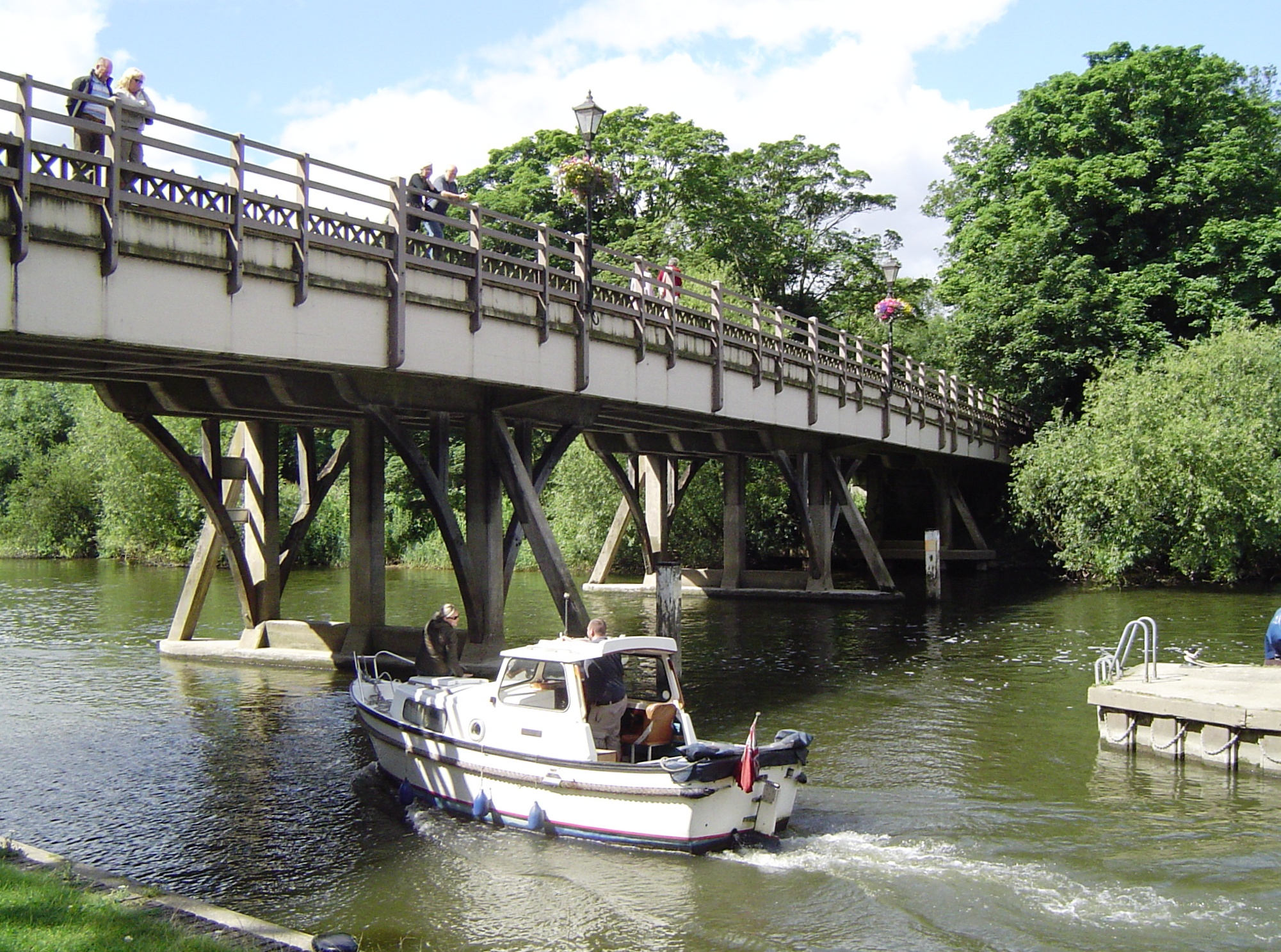
- Goring and Streatley Bridge
-
Goring and Streatley Bridge) 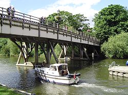
Goring and Streatley Bridge on the Goring side from Goring LockCarries B4009 Crosses River Thames Locale Goring-on-Thames
StreatleyMaterial Timber and metal Height 16 feet 11 inches (5.16 m)[1] Opened 1923 Coordinates 51°31′22.5″N 1°08′33″W / 51.522917°N 1.1425°WCoordinates: 51°31′22.5″N 1°08′33″W / 51.522917°N 1.1425°W Goring and Streatley Bridge is a road bridge across the River Thames in England. The bridge links the twin villages of Goring-On-Thames, Oxfordshire, and Streatley, Berkshire, and is adjacent to Goring Lock.
The present bridge was built in 1923, and is in two parts: The western bridge is from Streatley to an island in the river (overlooking The Swan hotel, once owned by Danny La Rue); The eastern bridge is from the island to Goring and overlooks Goring Lock. The bridge consists of timber struts supporting a metal roadway.
Both the Thames Path and The Ridgeway cross the Thames on this bridge.
A bridge was first built here in 1837 being a flat timber bridge of beams on posts. Prior to this there was a ferry although occasionally people would ride across, even driving in a one-horse chaise. In 1674 the ferry turned over in the weir pool with the loss of sixty lives.[2] In the 1970s a Citroën Dyane crashed through the railings at the Streatley end of the bridge landing on a concrete weir 16 feet below. The local Citroën dealer used the photo to illustrate the inherent strength of their upmarket 2CV
See also
- Crossings of the River Thames
References
- ^ River Thames Alliance. Bridge heights on the River Thames.
- ^ Fred. S. Thacker The Thames Highway: Volume II Locks and Weirs 1920 - republished 1968 David & Charles
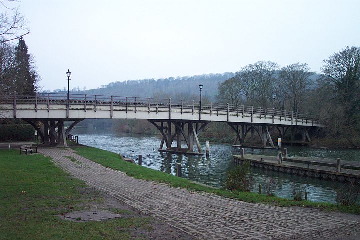
 The bridge in winter
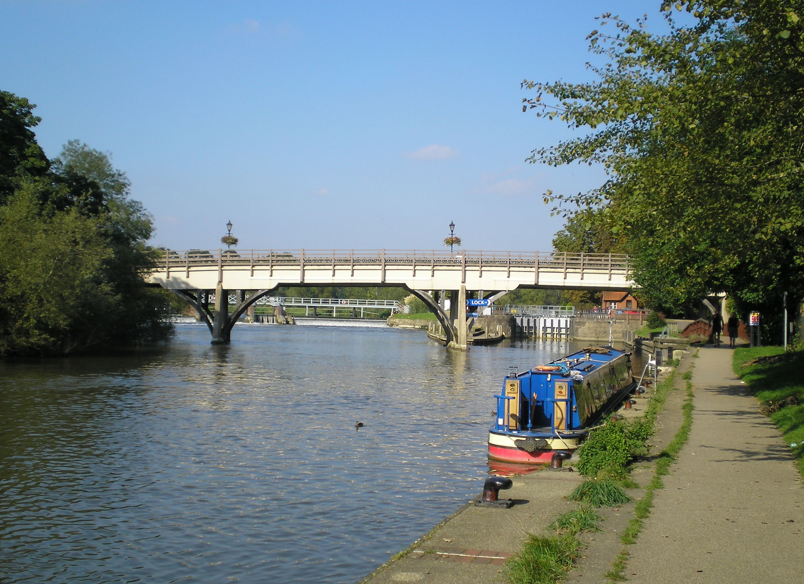
 Looking north towards the lock
Next crossing upstream River Thames Next crossing downstream Moulsford Railway Bridge (railway) Goring and Streatley Bridge
Grid reference: SU595807Gatehampton Railway Bridge (railway) Next crossing upstream Thames Path Next crossing downstream southern bank
Benson LockGoring and Streatley Bridge northern bank
Whitchurch BridgeCategories:- Bridges in Berkshire
- Bridges in Oxfordshire
- Bridges completed in 1923
- Bridges across the River Thames
- Thames Path
- United Kingdom bridge (structure) stubs
Wikimedia Foundation. 2010.